Estimated Value: $226,557 - $282,000
--
Bed
--
Bath
--
Sq Ft
7.56
Acres
About This Home
This home is located at 21469 Highway 101, Iowa, LA 70647 and is currently estimated at $252,889. 21469 Highway 101 is a home located in Jefferson Davis Parish with nearby schools including Lacassine High School.
Ownership History
Date
Name
Owned For
Owner Type
Purchase Details
Closed on
Jun 9, 2010
Sold by
Descant Armand Peter and Descant Tina Carol
Bought by
Rougeau Christina Ward and Rougeau Anthony Paul
Current Estimated Value
Home Financials for this Owner
Home Financials are based on the most recent Mortgage that was taken out on this home.
Original Mortgage
$132,000
Outstanding Balance
$88,683
Interest Rate
5.02%
Mortgage Type
New Conventional
Estimated Equity
$164,206
Create a Home Valuation Report for This Property
The Home Valuation Report is an in-depth analysis detailing your home's value as well as a comparison with similar homes in the area
Home Values in the Area
Average Home Value in this Area
Purchase History
| Date | Buyer | Sale Price | Title Company |
|---|---|---|---|
| Rougeau Christina Ward | $169,000 | None Available |
Source: Public Records
Mortgage History
| Date | Status | Borrower | Loan Amount |
|---|---|---|---|
| Open | Rougeau Christina Ward | $132,000 |
Source: Public Records
Tax History Compared to Growth
Tax History
| Year | Tax Paid | Tax Assessment Tax Assessment Total Assessment is a certain percentage of the fair market value that is determined by local assessors to be the total taxable value of land and additions on the property. | Land | Improvement |
|---|---|---|---|---|
| 2024 | $1,993 | $19,605 | $1,550 | $18,055 |
| 2023 | $1,790 | $17,233 | $1,533 | $15,700 |
| 2022 | $1,011 | $17,233 | $1,533 | $15,700 |
| 2021 | $1,800 | $17,233 | $1,533 | $15,700 |
| 2020 | $1,797 | $17,222 | $1,522 | $15,700 |
| 2019 | $1,838 | $17,002 | $1,322 | $15,680 |
| 2018 | $1,861 | $17,002 | $1,322 | $15,680 |
| 2017 | $1,859 | $17,002 | $1,322 | $15,680 |
| 2015 | $1,449 | $14,320 | $1,320 | $13,000 |
| 2014 | $1,805 | $17,820 | $1,320 | $16,500 |
| 2013 | $1,816 | $17,820 | $1,320 | $16,500 |
Source: Public Records
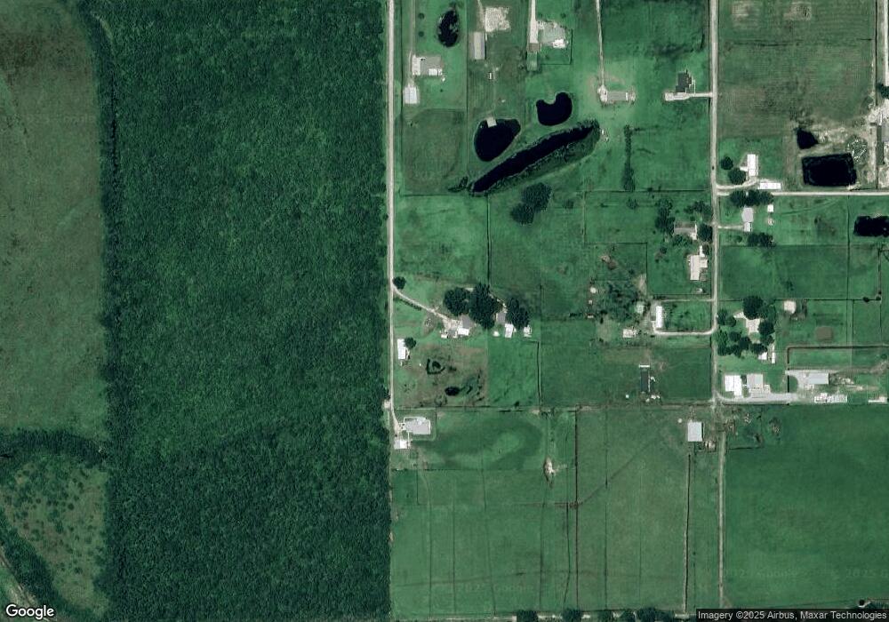
Map
Nearby Homes
- 22003 Gro Racca Rd
- 0 Gro Racca Rd Unit SWL25003463
- 0 Gro Racca Rd Unit SWL25100750
- 16 Gro Racca Rd
- 17 Gro Racca Rd
- 0 Willie Rd Unit 194408
- 0 Willie Rd Unit 194410
- 0 Willie Rd Unit SWL23002568
- 0 Willie Rd Unit 194409
- 18 Gro Racca Rd
- 6 Gro Racca Rd
- 11 Gro Racca Rd
- 7 Gro Racca Rd
- 4 Gro Racca Rd
- 21 Gro Racca Rd
- 20 Gro Racca Rd
- 22 Gro Racca Rd
- 2 Gro Racca Rd
- 24000 N Prairie Way
- 16305 Windmill Ln
- 21423 Highway 101
- 0 Burton Lane 21249 Unit 21249 26-3643
- 21249 Louisiana 101
- 21249 Highway 101
- 21249 Highway 101
- 21315 Highway 101
- 21267 Highway 101
- 21301 Burton Ln
- 0 Burton Ln Unit SWL22001600
- 0 Burton Ln Unit SWL21000335
- 21946 Highway 101
- 21344 Highway 101
- 21400 Highway 101
- 18010 Dewolf Rd
- 18020 Dewolf Rd
- 18085 Dewolf Rd
- 21221 Highway 101
- 18326 Dewolf Rd
- 18074 Dewolf Rd
- 18082 Dewolf Rd