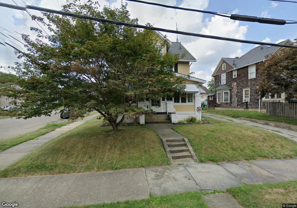
2147 S Arch Ave Alliance, OH 44601
Estimated Value: $122,000 - $166,000
4
Beds
1
Bath
1,620
Sq Ft
$86/Sq Ft
Est. Value
About This Home
This home is located at 2147 S Arch Ave, Alliance, OH 44601 and is currently estimated at $139,980, approximately $86 per square foot. 2147 S Arch Ave is a home located in Stark County with nearby schools including Alliance Elementary School at Rockhill, Alliance Intermediate School at Northside, and Alliance Middle School.
Ownership History
Date
Name
Owned For
Owner Type
Purchase Details
Closed on
Nov 22, 2005
Sold by
Cogar Dwayne F and Cogar Christina V
Bought by
Butt Thomas W and Butt Stacy L
Current Estimated Value
Home Financials for this Owner
Home Financials are based on the most recent Mortgage that was taken out on this home.
Original Mortgage
$84,900
Outstanding Balance
$46,774
Interest Rate
6.13%
Mortgage Type
Fannie Mae Freddie Mac
Estimated Equity
$93,206
Purchase Details
Closed on
Mar 24, 2000
Sold by
Leveque Janet Ann
Bought by
Cogar Dwayne F and Cogar Christina
Home Financials for this Owner
Home Financials are based on the most recent Mortgage that was taken out on this home.
Original Mortgage
$79,050
Interest Rate
8.43%
Mortgage Type
VA
Purchase Details
Closed on
Aug 22, 1999
Sold by
Szekely Mike and Szekely Goldie M
Bought by
Szekely Goldie M and Leveque Janet Ann
Create a Home Valuation Report for This Property
The Home Valuation Report is an in-depth analysis detailing your home's value as well as a comparison with similar homes in the area
Home Values in the Area
Average Home Value in this Area
Purchase History
| Date | Buyer | Sale Price | Title Company |
|---|---|---|---|
| Butt Thomas W | $84,900 | First American Title | |
| Cogar Dwayne F | $77,500 | -- | |
| Szekely Goldie M | -- | -- |
Source: Public Records
Mortgage History
| Date | Status | Borrower | Loan Amount |
|---|---|---|---|
| Open | Butt Thomas W | $84,900 | |
| Closed | Cogar Dwayne F | $79,050 |
Source: Public Records
Tax History Compared to Growth
Tax History
| Year | Tax Paid | Tax Assessment Tax Assessment Total Assessment is a certain percentage of the fair market value that is determined by local assessors to be the total taxable value of land and additions on the property. | Land | Improvement |
|---|---|---|---|---|
| 2025 | -- | $32,450 | $9,070 | $23,380 |
| 2024 | -- | $32,450 | $9,070 | $23,380 |
| 2023 | $1,020 | $25,380 | $7,110 | $18,270 |
| 2022 | $1,027 | $25,380 | $7,110 | $18,270 |
| 2021 | $1,028 | $25,380 | $7,110 | $18,270 |
| 2020 | $956 | $22,060 | $6,200 | $15,860 |
| 2019 | $943 | $22,060 | $6,200 | $15,860 |
| 2018 | $947 | $22,060 | $6,200 | $15,860 |
| 2017 | $856 | $19,610 | $5,080 | $14,530 |
| 2016 | $1,065 | $24,200 | $5,080 | $19,120 |
| 2015 | $1,074 | $24,200 | $5,080 | $19,120 |
| 2014 | $1,125 | $24,130 | $5,080 | $19,050 |
| 2013 | $561 | $24,130 | $5,080 | $19,050 |
Source: Public Records
Map
Nearby Homes
- 317 E State St
- 2218 S Freedom Ave
- 2460 S Arch Ave
- 1846 S Freedom Ave
- 390 E College St
- 2376 S Seneca Ave
- 236 E Milton St
- 112 E College St
- 1475 Chatauqua Ct
- 555 E Milton St
- 1437 S Linden Ave
- 853 Fairway Dr
- 815 Grace St
- 729 Waugh St
- 1395 S Webb Ave
- 551 South St
- 1233 Woodland Ave
- 1005 S Freedom Ave
- 1515 S Rockhill Ave
- 1044 S Liberty Ave
- 2137 S Arch Ave
- 2125 S Arch Ave
- 2205 S Arch Ave
- 2148 Watson Ave
- 2138 Watson Ave
- 2115 S Arch Ave
- 2217 S Arch Ave
- 2128 Watson Ave
- 245 E Mill St
- 2146 S Arch Ave
- 2138 S Arch Ave
- 2118 Watson Ave
- 2105 S Arch Ave
- 2126 S Arch Ave
- 2206 S Arch Ave
- 235 E Mill St
- 2227 S Arch Ave
- 2120 S Arch Ave
- 2216 S Arch Ave
- 2106 Watson Ave