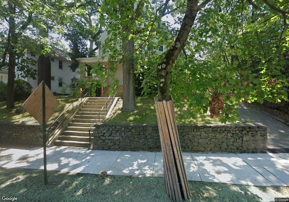
2148 Commonwealth Ave Unit 2150 Auburndale, MA 02466
Auburndale NeighborhoodEstimated Value: $964,000
6
Beds
3
Baths
3,208
Sq Ft
$300/Sq Ft
Est. Value
About This Home
This home is located at 2148 Commonwealth Ave Unit 2150, Auburndale, MA 02466 and is currently priced at $964,000, approximately $300 per square foot. 2148 Commonwealth Ave Unit 2150 is a home located in Middlesex County with nearby schools including C.C. Burr, F.A. Day Middle School, and Newton North High School.
Ownership History
Date
Name
Owned For
Owner Type
Purchase Details
Closed on
Nov 16, 2009
Sold by
Chesbrough Paula
Bought by
Citizens For Affordab
Current Estimated Value
Purchase Details
Closed on
Nov 30, 1994
Sold by
Moulton Elizabeth A and Moulton Margaret E
Bought by
Chesbrough Paula E
Purchase Details
Closed on
Aug 30, 1991
Sold by
Theabold Frederick and Theabold Elsie A
Bought by
Moulton Elizabeth and Moulton Margaret E
Create a Home Valuation Report for This Property
The Home Valuation Report is an in-depth analysis detailing your home's value as well as a comparison with similar homes in the area
Home Values in the Area
Average Home Value in this Area
Purchase History
| Date | Buyer | Sale Price | Title Company |
|---|---|---|---|
| Citizens For Affordab | $666,300 | -- | |
| Chesbrough Paula E | $282,250 | -- | |
| Chesbrough Paula E | $282,250 | -- | |
| Moulton Elizabeth | $257,000 | -- | |
| Moulton Elizabeth | $257,000 | -- |
Source: Public Records
Mortgage History
| Date | Status | Borrower | Loan Amount |
|---|---|---|---|
| Open | Moulton Elizabeth | $194,700 | |
| Closed | Moulton Elizabeth | $50,000 |
Source: Public Records
Tax History Compared to Growth
Tax History
| Year | Tax Paid | Tax Assessment Tax Assessment Total Assessment is a certain percentage of the fair market value that is determined by local assessors to be the total taxable value of land and additions on the property. | Land | Improvement |
|---|---|---|---|---|
| 2025 | $0 | $1,156,800 | $904,500 | $252,300 |
| 2024 | $9,169 | $1,156,800 | $904,500 | $252,300 |
| 2023 | $0 | $975,500 | $636,800 | $338,700 |
| 2022 | $0 | $903,200 | $589,600 | $313,600 |
| 2021 | $9,169 | $852,100 | $556,200 | $295,900 |
| 2020 | $8,896 | $852,100 | $556,200 | $295,900 |
| 2019 | $8,322 | $796,400 | $519,800 | $276,600 |
| 2018 | $8,423 | $778,500 | $487,300 | $291,200 |
| 2017 | $7,942 | $714,200 | $447,100 | $267,100 |
| 2016 | $7,456 | $655,200 | $410,200 | $245,000 |
| 2015 | $7,778 | $669,900 | $383,400 | $286,500 |
Source: Public Records
Map
Nearby Homes
- 283 Melrose St
- 2202 Commonwealth Ave Unit 2
- 2202 Commonwealth Ave Unit 1
- 226 Auburn St Unit 226
- 224 Auburn St Unit 224
- 224 Auburn St Unit A
- 17 Lasell St
- 49 Staniford St
- 62-64 Rowe St Unit B
- 160 Pine St Unit 12
- 13 Weir St
- 27 Oakwood Rd
- 17 Crescent St
- 10 Crescent St Unit 1
- 10 Crescent St Unit 2
- 51 Bourne St
- 283 Woodland Rd
- 17 Gilbert St
- 101-103 Lexington St
- 1639 Washington St
- 2142 Commonwealth Ave Unit 2144
- 2158 Commonwealth Ave Unit 2160
- 2160 Commonwealth Ave Unit 2160
- 2158 Commonwealth Ave Unit 2158
- 2160 Commonwealth Ave Unit 2
- 2158 Commonwealth Ave Unit 1
- 2160 Commonwealth Ave
- 2138 Commonwealth Ave Unit 2140
- 2138 Commonwealth Ave Unit B
- 2138 Commonwealth Ave Unit 2
- 2140 Commonwealth Ave Unit A
- 261 Melrose St Unit 2
- 261 Melrose St Unit 1
- 261 Melrose St
- 2134 Commonwealth Ave
- 27 Ash St
- 27 Ash St Unit 1
- 2149 Commonwealth Ave
- 267 Melrose St
- 2143 Commonwealth Ave