Estimated Value: $315,583 - $388,000
4
Beds
2
Baths
2,135
Sq Ft
$163/Sq Ft
Est. Value
About This Home
This home is located at 2148 Springbrook Rd, Omro, WI 54963 and is currently estimated at $347,646, approximately $162 per square foot. 2148 Springbrook Rd is a home located in Winnebago County with nearby schools including Patch Elementary School, Omro Elementary School, and Omro Middle School.
Ownership History
Date
Name
Owned For
Owner Type
Purchase Details
Closed on
Aug 10, 2010
Sold by
Pettit Chris A
Bought by
Pettit Chris A
Current Estimated Value
Purchase Details
Closed on
Oct 1, 2008
Sold by
Schlagel Brian S and Schlagel Kristina J
Bought by
Pettit Chris A and Boucher Rebecca A
Home Financials for this Owner
Home Financials are based on the most recent Mortgage that was taken out on this home.
Original Mortgage
$157,500
Interest Rate
6.52%
Mortgage Type
New Conventional
Create a Home Valuation Report for This Property
The Home Valuation Report is an in-depth analysis detailing your home's value as well as a comparison with similar homes in the area
Home Values in the Area
Average Home Value in this Area
Purchase History
| Date | Buyer | Sale Price | Title Company |
|---|---|---|---|
| Pettit Chris A | $151,000 | -- | |
| Pettit Chris A | $175,000 | None Available |
Source: Public Records
Mortgage History
| Date | Status | Borrower | Loan Amount |
|---|---|---|---|
| Previous Owner | Pettit Chris A | $157,500 |
Source: Public Records
Tax History
| Year | Tax Paid | Tax Assessment Tax Assessment Total Assessment is a certain percentage of the fair market value that is determined by local assessors to be the total taxable value of land and additions on the property. | Land | Improvement |
|---|---|---|---|---|
| 2024 | $3,325 | $196,000 | $28,600 | $167,400 |
| 2023 | $3,028 | $196,000 | $28,600 | $167,400 |
| 2022 | $3,147 | $196,000 | $28,600 | $167,400 |
| 2021 | $2,895 | $184,500 | $28,600 | $155,900 |
| 2020 | $3,061 | $151,000 | $19,700 | $131,300 |
| 2019 | $2,877 | $151,000 | $19,700 | $131,300 |
| 2018 | $3,007 | $151,000 | $19,700 | $131,300 |
| 2017 | $2,967 | $151,000 | $19,700 | $131,300 |
| 2016 | $2,919 | $151,000 | $19,700 | $131,300 |
| 2015 | $2,424 | $151,000 | $19,700 | $131,300 |
| 2014 | -- | $151,000 | $19,700 | $131,300 |
| 2013 | -- | $151,000 | $19,700 | $131,300 |
Source: Public Records
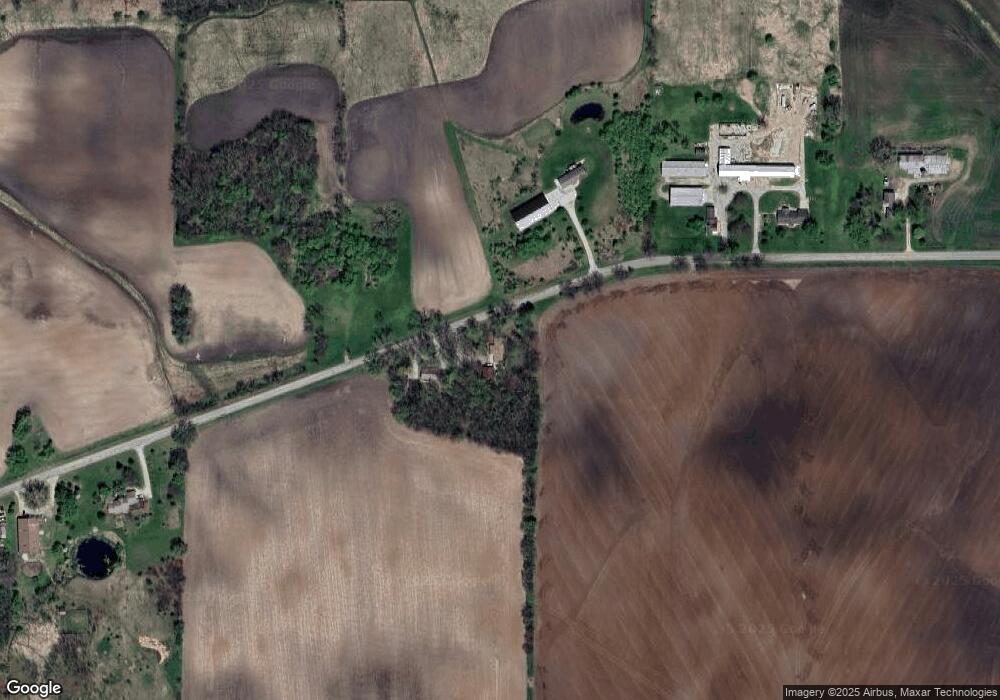
Map
Nearby Homes
- 336 Wintergreen Dr
- 320 Lincoln Ave
- 336 Mckinley Ave
- 613 Mckinley Ave
- 651 E River Dr
- 730 E Scott St
- 861 Carissa Ct
- 351 E Scott St
- 224 E Scott St
- 1 Reighmoor Rd
- 0 Poygan Rd
- 523 Michigan St
- 5987 County Rd E
- 5294 Notre Dame Dr
- 5316 Cornhusk Ln
- 0 County Rd E Unit 50318875
- 5340 Wisconsin 21
- 5289 Cornhusk Ln
- 5304 Fenceline Ln
- 0 Cornhusk Ln
- 2104 Springbrook Rd
- 2175 Springbrook Rd
- 2226 Springbrook Rd
- 2220 Springbrook Rd
- 2306 Springbrook Rd
- 1980 Springbrook Rd
- 1936 Springbrook Rd
- 1914 Springbrook Rd
- 0 Brooke Dr Unit 50080644
- 0 Brooke Dr Unit 50314034
- 0 Brooke Dr Unit 50311891
- 0 Brooke Dr Unit 36798450
- 0 Brooke Dr Unit 36798446
- 0 Brooke Dr Unit 36798440
- 0 Brooke Dr Unit 36771135
- 0 Brooke Dr Unit 50311767
- 1850 Springbrook Rd
- 4272 Rivermoor Rd
- 1969 Justin Dr
- 1955 Justin Dr
Your Personal Tour Guide
Ask me questions while you tour the home.