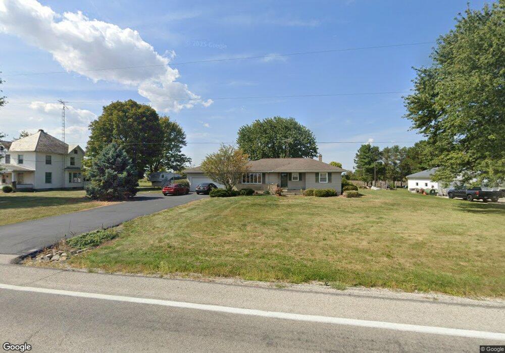
2148 State Route 98 Bucyrus, OH 44820
Estimated Value: $169,000 - $209,000
3
Beds
1
Bath
1,270
Sq Ft
$152/Sq Ft
Est. Value
About This Home
This home is located at 2148 State Route 98, Bucyrus, OH 44820 and is currently estimated at $193,502, approximately $152 per square foot. 2148 State Route 98 is a home located in Crawford County with nearby schools including Wynford Elementary School, Wynford High School, and CENTER FOR AUTISM / DYSLEXIA - BUCYRUS.
Ownership History
Date
Name
Owned For
Owner Type
Purchase Details
Closed on
Jan 3, 2024
Sold by
Sherman David Eric and Sherman Kenneth Wayne
Bought by
Sherman Kenneth Wayne
Current Estimated Value
Purchase Details
Closed on
Jul 5, 2019
Sold by
Sherman David E and The Sherman Keystone Preservat
Bought by
Sherman David E and Sherman Kenneth W
Purchase Details
Closed on
Jul 26, 2013
Sold by
Sherman Wayne E and Sherman Connie K
Bought by
Sherman David E
Create a Home Valuation Report for This Property
The Home Valuation Report is an in-depth analysis detailing your home's value as well as a comparison with similar homes in the area
Home Values in the Area
Average Home Value in this Area
Purchase History
| Date | Buyer | Sale Price | Title Company |
|---|---|---|---|
| Sherman Kenneth Wayne | $70,000 | None Listed On Document | |
| Sherman Kenneth Wayne | $70,000 | None Listed On Document | |
| Sherman David E | -- | None Available | |
| Sherman David E | -- | None Available |
Source: Public Records
Tax History Compared to Growth
Tax History
| Year | Tax Paid | Tax Assessment Tax Assessment Total Assessment is a certain percentage of the fair market value that is determined by local assessors to be the total taxable value of land and additions on the property. | Land | Improvement |
|---|---|---|---|---|
| 2024 | $1,861 | $49,130 | $3,850 | $45,280 |
| 2023 | $1,863 | $32,740 | $3,160 | $29,580 |
| 2022 | $1,495 | $32,740 | $3,160 | $29,580 |
| 2021 | $1,604 | $32,740 | $3,160 | $29,580 |
| 2020 | $1,134 | $25,040 | $3,160 | $21,880 |
| 2019 | $1,168 | $25,040 | $3,160 | $21,880 |
| 2018 | $1,194 | $25,040 | $3,160 | $21,880 |
| 2017 | $1,128 | $24,010 | $3,160 | $20,850 |
| 2016 | $943 | $24,010 | $3,160 | $20,850 |
| 2015 | $959 | $24,010 | $3,160 | $20,850 |
| 2014 | $1,110 | $25,580 | $3,160 | $22,420 |
| 2013 | $1,110 | $25,580 | $3,160 | $22,420 |
Source: Public Records
Map
Nearby Homes
- 182 Williams St
- 452 Pleasant Ln
- 1315 Lynne Ave
- 1211 S Sandusky Ave
- 0 Lynne Ave
- 1145 Lynne Ave
- 1123 Hillcrest Dr
- 1021 S Sandusky Ave
- 318 Charlotte St
- 1149 Farmview Dr
- 1112 Hillcrest Dr
- 900 S Spring St
- 2440 Wyandot Rd
- 419 Short St
- 275 Brentwood St
- 708 S Sandusky Ave
- 130 Brentwood St
- 1465 Oakridge Dr
- 325 W Liberty St
- 583 Rogers St
- 2140 State Route 98
- 2156 State Route 98
- 2156 State Route 98
- 2130 State Route 98
- 2108 State Route 98
- 2216 State Route 98
- 2096 State Route 98
- 2088 State Route 98
- 2061 State Route 98
- 2019 State Route 98
- 2006 State Route 98
- 515 Wedgewood Ct Unit 515
- 513 Wedgewood Ct Unit 513
- 509 Wedgewood Ct
- 511 Wedgewood
- 517 Wedgewood Ct Unit 517
- 519 Wedgewood Ct Unit 519
- 0 Wedgewood
- 305 Heritage Cir
- 336 Wedgewood Ct Unit 336