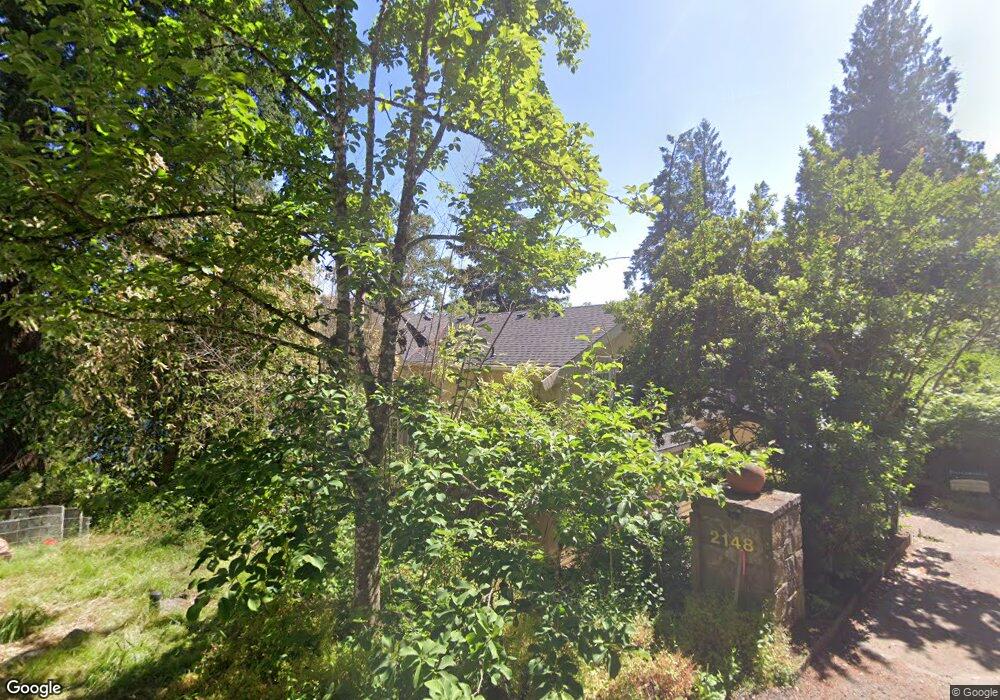
2148 Summit Dr Lake Oswego, OR 97034
Lakeview-Summit NeighborhoodEstimated Value: $1,538,000 - $1,715,261
4
Beds
4
Baths
3,863
Sq Ft
$426/Sq Ft
Est. Value
About This Home
This home is located at 2148 Summit Dr, Lake Oswego, OR 97034 and is currently estimated at $1,645,815, approximately $426 per square foot. 2148 Summit Dr is a home located in Clackamas County with nearby schools including Lake Grove Elementary School, Lake Oswego Junior High School, and Lake Oswego Senior High School.
Ownership History
Date
Name
Owned For
Owner Type
Purchase Details
Closed on
Jul 28, 2021
Sold by
Bollin Kimberly and Small Derek
Bought by
Bollin Kimberly and Small Derek
Current Estimated Value
Purchase Details
Closed on
Dec 8, 2020
Sold by
Maudlin Gene B and Maudlin Julia A
Bought by
Bollin Kimberly and Small Derek
Home Financials for this Owner
Home Financials are based on the most recent Mortgage that was taken out on this home.
Original Mortgage
$926,000
Outstanding Balance
$824,008
Interest Rate
2.8%
Mortgage Type
New Conventional
Estimated Equity
$821,807
Purchase Details
Closed on
Oct 23, 2014
Sold by
Maudlin Gene B and Maudlin Julie A
Bought by
U S Bank Trust Company Na
Create a Home Valuation Report for This Property
The Home Valuation Report is an in-depth analysis detailing your home's value as well as a comparison with similar homes in the area
Home Values in the Area
Average Home Value in this Area
Purchase History
| Date | Buyer | Sale Price | Title Company |
|---|---|---|---|
| Bollin Kimberly | -- | None Available | |
| Bollin Kimberly | $1,157,500 | Wfg Title | |
| U S Bank Trust Company Na | $160,000 | None Available |
Source: Public Records
Mortgage History
| Date | Status | Borrower | Loan Amount |
|---|---|---|---|
| Open | Bollin Kimberly | $926,000 |
Source: Public Records
Tax History Compared to Growth
Tax History
| Year | Tax Paid | Tax Assessment Tax Assessment Total Assessment is a certain percentage of the fair market value that is determined by local assessors to be the total taxable value of land and additions on the property. | Land | Improvement |
|---|---|---|---|---|
| 2025 | $16,727 | $870,987 | -- | -- |
| 2024 | $15,059 | $782,149 | -- | -- |
| 2023 | $15,059 | $759,368 | $0 | $0 |
| 2022 | $14,183 | $737,251 | $0 | $0 |
| 2021 | $8,473 | $462,987 | $0 | $0 |
| 2020 | $8,260 | $449,502 | $0 | $0 |
| 2019 | $8,057 | $436,410 | $0 | $0 |
| 2018 | $7,662 | $423,699 | $0 | $0 |
| 2017 | $7,393 | $411,358 | $0 | $0 |
| 2016 | $6,731 | $399,377 | $0 | $0 |
| 2015 | $6,503 | $387,745 | $0 | $0 |
| 2014 | $6,418 | $376,451 | $0 | $0 |
Source: Public Records
Map
Nearby Homes
- 2240 Summit Ct
- 1990 Indian Trail
- 15948 Twin Fir Rd
- 15947 Twin Fir Rd
- 2406 Glen Eagles Rd
- 2703 Glen Eagles Rd
- 2560 Glen Eagles Place
- 2217 Prestwick Rd
- 0 S Shore Blvd
- 16878 Canyon Dr
- 2255 Glen Haven Rd
- 1931 Park Forest Ct
- 15370 Twin Fir Rd
- 2088 Crest Dr
- 1847 Woodland Terrace
- 3525 Lake Grove Ave
- 3537 Lake Grove Ave
- 3548 Lakeview Blvd
- 1951 Greentree Rd
- 3600 Lakeview Blvd
- 2148 Summit Dr
- 2146 Summit Dr
- 2462 Summit Dr
- 2358 Summit Dr
- 2410 Summit Ct
- 2380 Summit Ct
- 2430 Summit Ct
- 2300 Summit Ct
- 2352 Summit Dr
- 2470 Summit Ct
- 2164 Summit Dr
- 2100 Summit Dr
- 2254 Summit Dr
- 2260 Summit Ct
- 2461 Summit Dr
- 2210 Summit Dr
- 2098 Summit Dr
- 0 Summit Dr Unit 11465642
- 0 Summit Dr Unit Lot20 12166692
- 0 Summit Dr