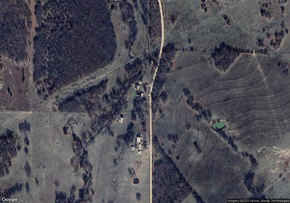
21485 S 460 Rd Tahlequah, OK 74464
Estimated Value: $126,017 - $211,000
3
Beds
1
Bath
1,008
Sq Ft
$176/Sq Ft
Est. Value
About This Home
This home is located at 21485 S 460 Rd, Tahlequah, OK 74464 and is currently estimated at $177,504, approximately $176 per square foot. 21485 S 460 Rd is a home located in Cherokee County with nearby schools including Hulbert Elementary School, Hulbert Jr./Sr. High School, and Hulbert Senior High School.
Ownership History
Date
Name
Owned For
Owner Type
Purchase Details
Closed on
Jan 9, 2008
Sold by
Sneed Christopher A
Bought by
Hamby Opal M
Current Estimated Value
Home Financials for this Owner
Home Financials are based on the most recent Mortgage that was taken out on this home.
Original Mortgage
$108,000
Outstanding Balance
$67,542
Interest Rate
6.07%
Mortgage Type
New Conventional
Estimated Equity
$109,962
Create a Home Valuation Report for This Property
The Home Valuation Report is an in-depth analysis detailing your home's value as well as a comparison with similar homes in the area
Home Values in the Area
Average Home Value in this Area
Purchase History
| Date | Buyer | Sale Price | Title Company |
|---|---|---|---|
| Hamby Opal M | -- | Cherokee Capitol Abstract&Ti |
Source: Public Records
Mortgage History
| Date | Status | Borrower | Loan Amount |
|---|---|---|---|
| Open | Hamby Opal M | $108,000 |
Source: Public Records
Tax History Compared to Growth
Tax History
| Year | Tax Paid | Tax Assessment Tax Assessment Total Assessment is a certain percentage of the fair market value that is determined by local assessors to be the total taxable value of land and additions on the property. | Land | Improvement |
|---|---|---|---|---|
| 2025 | $342 | $5,604 | $997 | $4,607 |
| 2024 | $342 | $5,441 | $968 | $4,473 |
| 2023 | $342 | $5,282 | $952 | $4,330 |
| 2022 | $322 | $5,128 | $924 | $4,204 |
| 2021 | $313 | $4,979 | $897 | $4,082 |
| 2020 | $304 | $4,834 | $871 | $3,963 |
| 2019 | $296 | $4,693 | $868 | $3,825 |
| 2018 | $289 | $4,557 | $843 | $3,714 |
| 2017 | $280 | $4,424 | $692 | $3,732 |
| 2016 | $273 | $4,296 | $1,065 | $3,231 |
| 2015 | $212 | $4,170 | $990 | $3,180 |
| 2014 | $212 | $4,048 | $990 | $3,058 |
Source: Public Records
Map
Nearby Homes
- 15451 W 791 Rd
- 11396 W Joyce Ln
- 14650 W 835 Rd
- 22781 S 490 Rd
- 16840 W Sierra Cir
- 0 S 490 Rd
- 2 S 490 Rd
- 21098 S 495 Rd
- 21060 S 496 Rd
- 16289 W 810 Rd
- 11261 Highway 51
- 16605 W Sierra Cir
- 24481 S Manard Rd
- 0 Hwy 62 Hwy Unit 2532149
- 0 Hwy 62 Hwy Unit 2532139
- 0 Hwy 62 Hwy Unit 2532141
- 0 Hwy 62 Hwy Unit 2532145
- 16809 W 790 Rd
- 10611 Oklahoma 51
- 21887 Coffee Hollow Rd
- 21427 S 460 Rd
- 21781 S 460 Rd
- 20721 S 465 Rd
- 20798 S 465 Rd
- 12892 W 800 Rd
- 20991 S 460 Rd
- 12760 W 800 Rd
- 12708 W 800 Rd
- 12623 W 790 Rd
- 20793 S 460 Rd
- 13437 W 790 Rd
- 12652 W 790 Rd
- 12638 W 790 Rd
- 12664 W 790 Rd
- 12686 W 790 Rd
- 12658 W 790 Rd
- 20971 S 465 Rd
- 20849 S Coos Thompson Rd
- 20550 S Coos Thompson Rd
- 20611 S 460 Rd
