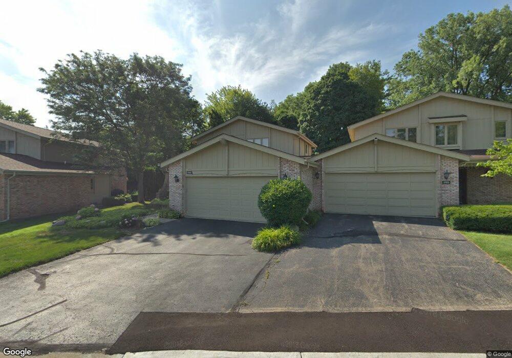
2149 Colony Club Ct West Bloomfield, MI 48322
Estimated Value: $379,000 - $589,000
3
Beds
3
Baths
2,351
Sq Ft
$205/Sq Ft
Est. Value
About This Home
This home is located at 2149 Colony Club Ct, West Bloomfield, MI 48322 and is currently estimated at $480,913, approximately $204 per square foot. 2149 Colony Club Ct is a home located in Oakland County with nearby schools including Wylie E. Groves High School, West Maple Elementary School, and Berkshire Middle School.
Ownership History
Date
Name
Owned For
Owner Type
Purchase Details
Closed on
Jan 31, 2012
Sold by
Hyman Eileen
Bought by
Hyman Eileen and The Eileen Hyman Living Trust
Current Estimated Value
Home Financials for this Owner
Home Financials are based on the most recent Mortgage that was taken out on this home.
Original Mortgage
$131,300
Outstanding Balance
$15,977
Interest Rate
3.95%
Mortgage Type
New Conventional
Estimated Equity
$464,936
Purchase Details
Closed on
Dec 12, 2003
Sold by
Hyman Eileen and Hyman Lawrence
Bought by
Hyman Eileen and Eileen Hyman Living Trust
Purchase Details
Closed on
Jun 30, 1998
Sold by
Yedlin Deborah K
Bought by
Hyman Lawrence
Create a Home Valuation Report for This Property
The Home Valuation Report is an in-depth analysis detailing your home's value as well as a comparison with similar homes in the area
Home Values in the Area
Average Home Value in this Area
Purchase History
| Date | Buyer | Sale Price | Title Company |
|---|---|---|---|
| Hyman Eileen | -- | Title Source Inc | |
| Hyman Eileen | -- | Title Source Inc | |
| Hyman Eileen | -- | -- | |
| Hyman Lawrence | $290,000 | -- |
Source: Public Records
Mortgage History
| Date | Status | Borrower | Loan Amount |
|---|---|---|---|
| Open | Hyman Eileen | $131,300 |
Source: Public Records
Tax History Compared to Growth
Tax History
| Year | Tax Paid | Tax Assessment Tax Assessment Total Assessment is a certain percentage of the fair market value that is determined by local assessors to be the total taxable value of land and additions on the property. | Land | Improvement |
|---|---|---|---|---|
| 2024 | $2,842 | $182,280 | $0 | $0 |
| 2022 | $2,727 | $181,260 | $43,800 | $137,460 |
| 2021 | $4,601 | $176,990 | $0 | $0 |
| 2020 | $2,620 | $174,670 | $25,000 | $149,670 |
| 2018 | $4,538 | $144,520 | $15,280 | $129,240 |
| 2015 | -- | $132,210 | $0 | $0 |
| 2014 | -- | $121,030 | $0 | $0 |
| 2011 | -- | $104,040 | $0 | $0 |
Source: Public Records
Map
Nearby Homes
- 2014 Waldons Ct
- 7371 Lindenmere Dr
- 7315 Lindenmere Dr
- 27170 W 14 Mile Rd
- 7250 Ten Hill
- 6800 N Clunbury Rd
- 32620 Inkster Rd
- 6730 Halyard Rd
- 32500 Rock Ridge Ln
- 28786 Rockledge Dr
- 27261 Willowgreen Ct
- 4647 Private Lake Dr
- 29020 Ramblewood Dr
- 7209 Stonebrook Rd
- 6940 Castle Dr
- 6420 Apple Grove Ln Unit 10
- 5312 Cambourne Place
- 7477 Gramercy Cir Unit 17
- 7479 Gramercy Cir Unit 16
- 6720 Castle Dr
- 2153 Colony Club Ct
- 2145 Colony Club Ct
- 2157 Colony Club Ct
- 2141 Colony Club Ct
- 7220 Suncrest Rd
- 7214 Suncrest Rd
- 7226 Suncrest Rd
- 7206 Suncrest Rd
- 2161 Colony Club Ct
- 2165 Colony Club Ct
- 2169 Colony Club Ct
- 2173 Colony Club Ct
- 2177 Colony Club Ct
- 2181 Colony Club Ct
- 2185 Colony Club Ct
- 2189 Colony Club Ct
- 7207 Suncrest Rd
- 7227 Suncrest Rd
- 7199 Suncrest Rd
- 7172 Suncrest Rd