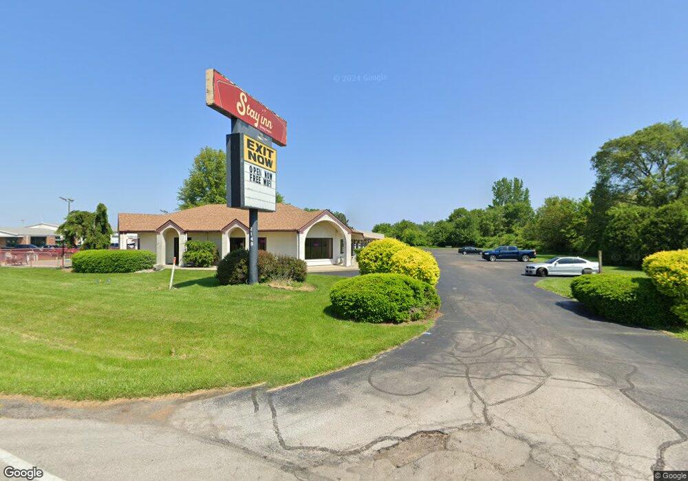
2149 E Gill Rd Port Clinton, OH 43452
Estimated Value: $551,742
--
Bed
--
Bath
17,240
Sq Ft
$32/Sq Ft
Est. Value
About This Home
This home is located at 2149 E Gill Rd, Port Clinton, OH 43452 and is currently estimated at $551,742, approximately $32 per square foot. 2149 E Gill Rd is a home located in Ottawa County with nearby schools including Bataan Memorial Primary School, Bataan Memorial Intermediate School, and Port Clinton Middle School.
Ownership History
Date
Name
Owned For
Owner Type
Purchase Details
Closed on
Dec 22, 2009
Sold by
The National Bank Of Oak Harbor
Bought by
Sai Nath Hospitality Llc
Current Estimated Value
Home Financials for this Owner
Home Financials are based on the most recent Mortgage that was taken out on this home.
Original Mortgage
$168,000
Outstanding Balance
$109,916
Interest Rate
4.96%
Mortgage Type
Future Advance Clause Open End Mortgage
Estimated Equity
$441,826
Purchase Details
Closed on
Oct 14, 2009
Sold by
M & D Enterprises Inc
Bought by
The National Bank Of Oak Harbor and Old Fort Banking Company
Purchase Details
Closed on
Apr 10, 2001
Sold by
Goodnight Inn Inc
Bought by
M & D Enterprises Inc
Home Financials for this Owner
Home Financials are based on the most recent Mortgage that was taken out on this home.
Original Mortgage
$1,350,000
Interest Rate
7.13%
Mortgage Type
Commercial
Create a Home Valuation Report for This Property
The Home Valuation Report is an in-depth analysis detailing your home's value as well as a comparison with similar homes in the area
Home Values in the Area
Average Home Value in this Area
Purchase History
| Date | Buyer | Sale Price | Title Company |
|---|---|---|---|
| Sai Nath Hospitality Llc | $140,000 | Hartung Title | |
| The National Bank Of Oak Harbor | $400,000 | None Available | |
| M & D Enterprises Inc | $950,000 | -- |
Source: Public Records
Mortgage History
| Date | Status | Borrower | Loan Amount |
|---|---|---|---|
| Open | Sai Nath Hospitality Llc | $168,000 | |
| Previous Owner | M & D Enterprises Inc | $1,350,000 |
Source: Public Records
Tax History Compared to Growth
Tax History
| Year | Tax Paid | Tax Assessment Tax Assessment Total Assessment is a certain percentage of the fair market value that is determined by local assessors to be the total taxable value of land and additions on the property. | Land | Improvement |
|---|---|---|---|---|
| 2024 | $6,134 | $149,492 | $45,346 | $104,146 |
| 2023 | $5,841 | $125,892 | $41,227 | $84,665 |
| 2022 | $5,568 | $125,892 | $41,227 | $84,665 |
| 2021 | $5,565 | $125,900 | $41,230 | $84,670 |
| 2020 | $5,841 | $125,900 | $41,230 | $84,670 |
| 2019 | $5,806 | $125,900 | $41,230 | $84,670 |
| 2018 | $5,699 | $125,900 | $41,230 | $84,670 |
| 2017 | $8,703 | $192,430 | $41,230 | $151,200 |
| 2016 | $8,746 | $192,430 | $41,230 | $151,200 |
| 2015 | $8,734 | $192,430 | $41,230 | $151,200 |
| 2014 | $4,350 | $192,430 | $41,230 | $151,200 |
| 2013 | $8,730 | $192,430 | $41,230 | $151,200 |
Source: Public Records
Map
Nearby Homes
- 2130 E Sand Rd
- 12 N Beach St
- 19 N Beach St
- 2650 E Harbor Rd
- 0 E Harbor Rd
- 2006 E Harbor Rd
- 680 S Plasterbed Rd Unit 4-7
- 2322 E State Rd Unit 12
- 635 S Liz Ln
- 2321 E State Rd
- 34 Grande Lake Dr Unit C
- 1807 E Perry St Unit 69
- 1803 E Perry St Unit 36
- 2348 E Sand Rd
- 2350 E Sand Rd
- 1801 E Perry St Unit 22
- 168 Morningside Dr
- 1805 Briarcrest Dr
- 115 Driftwood Dr
- 188 Driftwood Dr
- 2056 East Harbor Rd
- 2056 East Harbor Rd
- 2143 E State Rd
- 2112 East Harbor Rd
- 0 Delores (Dolores) Dr
- 2104 East Harbor Rd
- 2102 East Harbor Rd
- 2108 E Harbor Rd
- 2108 East Harbor Rd
- 2110 East Harbor Rd
- 2052 East Harbor Rd
- 2146 E Sr 163 Rd
- 2110 E Harbor Rd
- 2048 East Harbor Rd
- 2112 E Harbor Rd
- 2120 East Harbor Rd
- 2026 East Harbor Rd
- 2026 East Harbor Rd Unit B
- 2026 East Harbor Rd Unit G
- 2026 East Harbor Rd Unit C