Estimated Value: $86,000 - $141,000
2
Beds
1
Bath
864
Sq Ft
$121/Sq Ft
Est. Value
About This Home
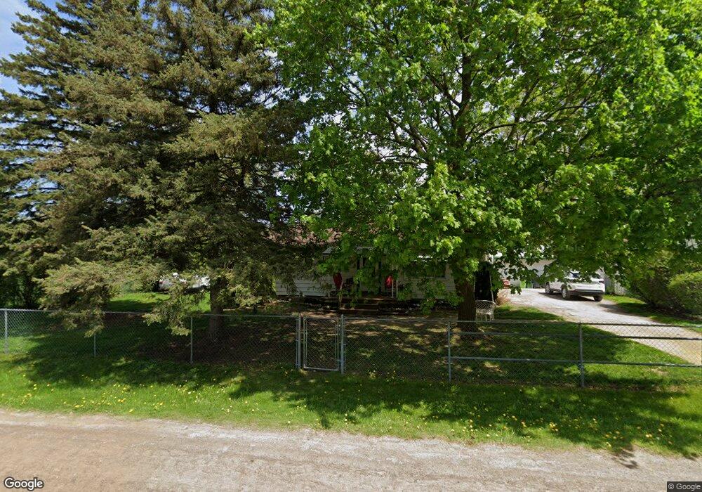
This home is located at 2149 Eberly Rd, Flint, MI 48532 and is currently estimated at $104,568, approximately $121 per square foot. 2149 Eberly Rd is a home located in Genesee County with nearby schools including Carman-Ainsworth High School, Genesee STEM Academy, and St. Paul Lutheran School.
Ownership History
Date
Name
Owned For
Owner Type
Purchase Details
Closed on
Oct 27, 2025
Sold by
Snyder Thomas Lee
Bought by
Snyder Thomas Lee and Snyder Aleshia Elizabeth
Current Estimated Value
Purchase Details
Closed on
Sep 26, 2024
Sold by
Peter F Synder Trust and Snyder Thomas L
Bought by
Snyder Thomas L
Purchase Details
Closed on
Nov 14, 2007
Sold by
Snyder Peter F and Snyder Tom L
Bought by
The Peter F Snyder Jr Trust
Home Financials for this Owner
Home Financials are based on the most recent Mortgage that was taken out on this home.
Original Mortgage
$23,000
Interest Rate
6.47%
Mortgage Type
New Conventional
Purchase Details
Closed on
Oct 17, 2003
Sold by
Snyder Peter F and Snyder Dorothy
Bought by
Snyder Peter F and Snyder Tom L
Create a Home Valuation Report for This Property
The Home Valuation Report is an in-depth analysis detailing your home's value as well as a comparison with similar homes in the area
Home Values in the Area
Average Home Value in this Area
Purchase History
| Date | Buyer | Sale Price | Title Company |
|---|---|---|---|
| Snyder Thomas Lee | -- | None Listed On Document | |
| Snyder Thomas L | -- | None Listed On Document | |
| The Peter F Snyder Jr Trust | -- | Metropol | |
| Snyder Peter F | -- | Metropol | |
| Snyder Peter F | -- | -- |
Source: Public Records
Mortgage History
| Date | Status | Borrower | Loan Amount |
|---|---|---|---|
| Previous Owner | Snyder Peter F | $23,000 |
Source: Public Records
Tax History
| Year | Tax Paid | Tax Assessment Tax Assessment Total Assessment is a certain percentage of the fair market value that is determined by local assessors to be the total taxable value of land and additions on the property. | Land | Improvement |
|---|---|---|---|---|
| 2025 | $1,125 | $47,800 | $0 | $0 |
| 2024 | $524 | $41,800 | $0 | $0 |
| 2023 | $500 | $38,800 | $0 | $0 |
| 2022 | $541 | $28,500 | $0 | $0 |
| 2021 | $994 | $24,500 | $0 | $0 |
| 2020 | $449 | $23,200 | $0 | $0 |
| 2019 | $443 | $20,800 | $0 | $0 |
| 2018 | $920 | $21,200 | $0 | $0 |
| 2017 | $891 | $21,200 | $0 | $0 |
| 2016 | $914 | $21,000 | $0 | $0 |
| 2015 | $744 | $19,300 | $0 | $0 |
| 2014 | $441 | $18,500 | $0 | $0 |
| 2012 | -- | $21,900 | $21,900 | $0 |
Source: Public Records
Map
Nearby Homes
- 2033 Eberly Rd
- 18.41 Taft Rd
- 1512 Crescent Lane Dr Lot#46
- 10 Acres T A Mansour Blvd
- 3277 Whitney Ave
- 4199 Sheraton Dr
- VL Clairmont St
- 4474 Corunna Rd
- 1455 S Linden Rd
- 4480 Corunna Rd
- 3365 Ridgecliffe Dr
- 4335 Lennon Rd
- 3088 Curtis Dr
- 0 Charter Dr Unit 50153638
- 2521 White Oak Place
- 3918 Larchmont St
- 3.9 Acres W Court St
- 4490 W Lennon Rd
- 3915 Augusta St
- 3320 Timberview St
Your Personal Tour Guide
Ask me questions while you tour the home.