2149 New Scotland Rd Slingerlands, NY 12159
Estimated Value: $307,000 - $425,000
3
Beds
2
Baths
1,912
Sq Ft
$195/Sq Ft
Est. Value
About This Home
This home is located at 2149 New Scotland Rd, Slingerlands, NY 12159 and is currently estimated at $372,422, approximately $194 per square foot. 2149 New Scotland Rd is a home located in Albany County with nearby schools including Voorheesville Elementary School, Voorheesville Middle School, and Clayton A Bouton High School.
Ownership History
Date
Name
Owned For
Owner Type
Purchase Details
Closed on
Feb 24, 2005
Sold by
Youmans Estate Of Kathryn
Bought by
Youmans Gregory David
Current Estimated Value
Home Financials for this Owner
Home Financials are based on the most recent Mortgage that was taken out on this home.
Original Mortgage
$155,000
Outstanding Balance
$79,205
Interest Rate
5.73%
Mortgage Type
Credit Line Revolving
Estimated Equity
$293,217
Create a Home Valuation Report for This Property
The Home Valuation Report is an in-depth analysis detailing your home's value as well as a comparison with similar homes in the area
Home Values in the Area
Average Home Value in this Area
Purchase History
| Date | Buyer | Sale Price | Title Company |
|---|---|---|---|
| Youmans Gregory David | $115,000 | -- |
Source: Public Records
Mortgage History
| Date | Status | Borrower | Loan Amount |
|---|---|---|---|
| Open | Youmans Gregory David | $155,000 |
Source: Public Records
Tax History Compared to Growth
Tax History
| Year | Tax Paid | Tax Assessment Tax Assessment Total Assessment is a certain percentage of the fair market value that is determined by local assessors to be the total taxable value of land and additions on the property. | Land | Improvement |
|---|---|---|---|---|
| 2024 | $6,126 | $224,300 | $50,200 | $174,100 |
| 2023 | $5,919 | $224,300 | $50,200 | $174,100 |
| 2022 | $5,811 | $224,300 | $50,200 | $174,100 |
| 2021 | $5,735 | $224,300 | $50,200 | $174,100 |
| 2020 | $5,708 | $224,300 | $50,200 | $174,100 |
| 2019 | $5,013 | $224,300 | $50,200 | $174,100 |
| 2018 | $5,680 | $224,300 | $50,200 | $174,100 |
| 2017 | $0 | $224,300 | $50,200 | $174,100 |
| 2016 | $5,547 | $224,300 | $50,200 | $174,100 |
| 2015 | -- | $224,300 | $50,200 | $174,100 |
| 2014 | -- | $215,700 | $50,200 | $165,500 |
Source: Public Records
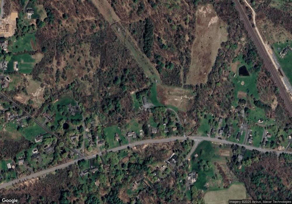
Map
Nearby Homes
- 19 Youmans Rd
- 212 Deerfield Ct
- 152 Crow Ridge Rd
- 156 Crow Ridge Rd
- L23 Maple Rd
- L17 Crow Ridge Rd
- 24 Forest Dr
- 4 Ponderosa Dr
- 47 Tekakwitha Rd
- 43 Maple Rd
- 9 Apple Blossom Ln
- 425A Bullock Rd
- 40 Voorheesville Ave
- 24 S Main St
- 34 Pleasant St
- 190 Diamond Hill Rd
- 1 Prospect St
- 17 N Main St
- 432 Clipp Rd
- 64 Normanskill Rd
- 2155 New Scotland Rd
- 2153 New Scotland Rd
- 2177 New Scotland Rd
- 306 Swift Rd
- 2151 New Scotland Rd
- 2198 New Scotland Rd
- 2181 New Scotland Rd
- 2-D Bullock Rd
- 10 Toll Gate Rd
- 2192 New Scotland Rd
- L40.2 Bullock Rd
- 2191 New Scotland Rd
- 20 Bullock Rd
- 2191 New Scotland Rd
- 26 Bullock Rd
- 0 Bullock Rd Unit 28120213
- 0 Bullock Rd Unit 201022408
- 0 Bullock Rd Unit 940082
- 0 Bullock Rd Unit 2316070
- 0 Bullock Rd Unit 2122425