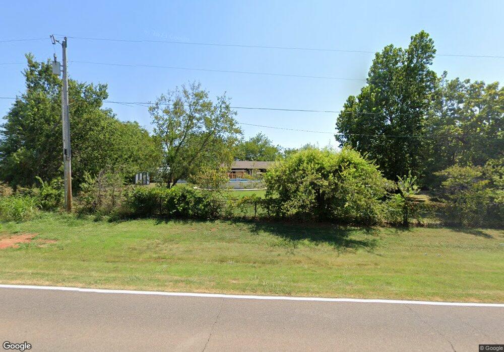
21498 State Highway 39 Purcell, OK 73080
Estimated Value: $237,000 - $406,000
3
Beds
2
Baths
2,310
Sq Ft
$134/Sq Ft
Est. Value
About This Home
This home is located at 21498 State Highway 39, Purcell, OK 73080 and is currently estimated at $309,593, approximately $134 per square foot. 21498 State Highway 39 is a home located in McClain County with nearby schools including Washington Elementary School, Washington Middle School, and Washington High School.
Ownership History
Date
Name
Owned For
Owner Type
Purchase Details
Closed on
Mar 31, 2023
Sold by
Kirk Ruth
Bought by
Kirk Ruth and Kirk David Eugene
Current Estimated Value
Purchase Details
Closed on
Sep 30, 2009
Sold by
Sunnybrook Properties Llc
Bought by
Harryman James D and Harryman Amy L
Home Financials for this Owner
Home Financials are based on the most recent Mortgage that was taken out on this home.
Original Mortgage
$157,964
Interest Rate
5.1%
Mortgage Type
FHA
Purchase Details
Closed on
Jun 15, 2005
Sold by
Leduc Mary L and Wyatt Linda L
Bought by
Wyatt Linda L
Create a Home Valuation Report for This Property
The Home Valuation Report is an in-depth analysis detailing your home's value as well as a comparison with similar homes in the area
Home Values in the Area
Average Home Value in this Area
Purchase History
| Date | Buyer | Sale Price | Title Company |
|---|---|---|---|
| Kirk Ruth | -- | None Listed On Document | |
| Kirk Ruth | -- | None Listed On Document | |
| Harryman James D | $160,000 | None Available | |
| Wyatt Linda L | -- | None Available |
Source: Public Records
Mortgage History
| Date | Status | Borrower | Loan Amount |
|---|---|---|---|
| Previous Owner | Harryman James D | $157,964 |
Source: Public Records
Tax History Compared to Growth
Tax History
| Year | Tax Paid | Tax Assessment Tax Assessment Total Assessment is a certain percentage of the fair market value that is determined by local assessors to be the total taxable value of land and additions on the property. | Land | Improvement |
|---|---|---|---|---|
| 2024 | $1,421 | $14,376 | $2,360 | $12,016 |
| 2023 | $1,421 | $13,956 | $2,148 | $11,808 |
| 2022 | $1,367 | $13,549 | $2,043 | $11,506 |
| 2021 | $1,139 | $13,156 | $2,020 | $11,136 |
| 2020 | $1,264 | $14,260 | $1,313 | $12,947 |
| 2019 | $1,240 | $13,844 | $1,697 | $12,147 |
| 2018 | $1,232 | $13,441 | $1,622 | $11,819 |
| 2017 | $1,208 | $13,050 | $1,615 | $11,435 |
| 2016 | $1,211 | $12,910 | $1,615 | $11,295 |
| 2015 | $1,098 | $12,789 | $1,779 | $11,010 |
| 2014 | $1,121 | $12,820 | $1,779 | $11,041 |
Source: Public Records
Map
Nearby Homes
- 20390 Three Oaks Way
- 21387 Ash Tree Ln
- 21544 Ash Tree Ln
- 21290 Ash Tree Ln
- 21392 Ash Tree Ln
- 20362 Three Oaks Way
- 20328 Three Oaks Way
- 21637 Trophy Ridge Dr
- 21850 201st St
- 20195 Wolf Creek Dr
- 21663 Trophy Ridge Dr
- 40 201st ( Lot 15) St
- 40 201st ( Lot 13) St
- 40 201st ( Lot 9) St
- 40 201st ( Lot 14) St
- 21788 201st St
- 20309 Lampkin Trail
- 20260 Lampkin Trail
- 20308 Lampkin Trail
- 20224 Lampkin Trail
- 21469 State Highway 39
- 21437 Trophy Ridge Dr
- 21578 State Highway 39
- 20402 Sacred Oaks Rd
- 21415 State Highway 39
- 20397 Sacred Oaks Rd
- 21454 Trophy Ridge Dr
- 20421 Tall Oaks Cir
- 20381 Smoking Oaks Loop
- 21488 Trophy Ridge Dr
- 21418 Trophy Rdige Dr
- 21404 Trophy Ridge Dr
- 20322 Blackjack Springs Trail
- 20420 Tall Oaks Cir
- 20440 Three Oaks Way
- 20356 Blackjack Springs Trail
- 20546 Three Oaks Way
- 20370 Smoking Oaks Loop
- 13 Lot 13 Block 1
- 20484 Three Oaks Way