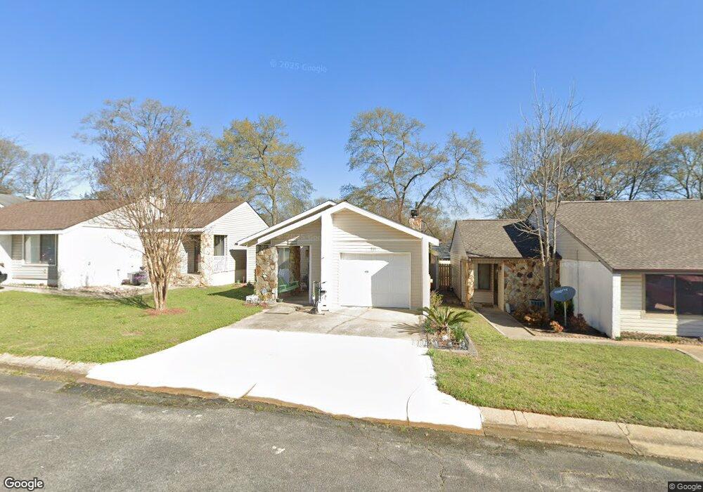
215 Atrium Ct Warner Robins, GA 31088
Estimated Value: $132,000 - $198,000
3
Beds
2
Baths
1,234
Sq Ft
$122/Sq Ft
Est. Value
About This Home
This home is located at 215 Atrium Ct, Warner Robins, GA 31088 and is currently estimated at $150,921, approximately $122 per square foot. 215 Atrium Ct is a home located in Houston County with nearby schools including Russell Elementary School, Warner Robins Middle School, and Warner Robins High School.
Ownership History
Date
Name
Owned For
Owner Type
Purchase Details
Closed on
Apr 25, 1997
Sold by
Lockwood John R and Lockwood Judith A
Bought by
Boutwell Sherry C
Current Estimated Value
Purchase Details
Closed on
Aug 1, 1989
Sold by
Mccranie Sandra W
Bought by
Lockwood John R and Lockwood Judith A
Purchase Details
Closed on
Mar 24, 1986
Bought by
Mccranie Sandra W
Purchase Details
Closed on
Aug 26, 1985
Sold by
Shepard Mytrle W and Jones Miria
Bought by
Mccranie Sandra W
Purchase Details
Closed on
May 4, 1984
Sold by
Amerifirst Communities Inc
Bought by
Shepard Mytrle W and Jones Miriam S
Create a Home Valuation Report for This Property
The Home Valuation Report is an in-depth analysis detailing your home's value as well as a comparison with similar homes in the area
Home Values in the Area
Average Home Value in this Area
Purchase History
| Date | Buyer | Sale Price | Title Company |
|---|---|---|---|
| Boutwell Sherry C | $58,500 | -- | |
| Lockwood John R | -- | -- | |
| Mccranie Sandra W | -- | -- | |
| Mccranie Sandra W | -- | -- | |
| Shepard Mytrle W | -- | -- |
Source: Public Records
Tax History
| Year | Tax Paid | Tax Assessment Tax Assessment Total Assessment is a certain percentage of the fair market value that is determined by local assessors to be the total taxable value of land and additions on the property. | Land | Improvement |
|---|---|---|---|---|
| 2024 | $1,395 | $42,640 | $3,080 | $39,560 |
| 2023 | $1,179 | $35,760 | $3,080 | $32,680 |
| 2022 | $761 | $33,080 | $3,080 | $30,000 |
| 2021 | $690 | $29,840 | $3,080 | $26,760 |
| 2020 | $693 | $29,840 | $3,080 | $26,760 |
| 2019 | $481 | $29,840 | $3,080 | $26,760 |
| 2018 | $481 | $29,840 | $3,080 | $26,760 |
| 2017 | $481 | $29,840 | $3,080 | $26,760 |
| 2016 | $482 | $29,840 | $3,080 | $26,760 |
| 2015 | -- | $29,840 | $3,080 | $26,760 |
| 2014 | -- | $28,920 | $3,080 | $25,840 |
| 2013 | -- | $28,000 | $3,080 | $24,920 |
Source: Public Records
Map
Nearby Homes
- 124 Stonehedge Dr
- 146 Stoneridge Dr
- 141 Stoneridge Dr
- 100 Stoneridge Dr
- 215 Kimberly Rd
- 116 Wood St
- 105 Marvin Blvd
- 102 Williamsburg Ave
- 100 Williamsburg Ave
- 104 Lakeside Dr
- 131 Cherokee Forest Trail
- 100 Edgewood Ave
- 204 Deerwood Cir
- 413 Tracy Terrace
- 104 Ivey Way
- 515 Kimberly Rd
- 210 Granada Terrace
- 115 Shelia Dr
- 104 Crossing Place
- 217 Station Way
Your Personal Tour Guide
Ask me questions while you tour the home.