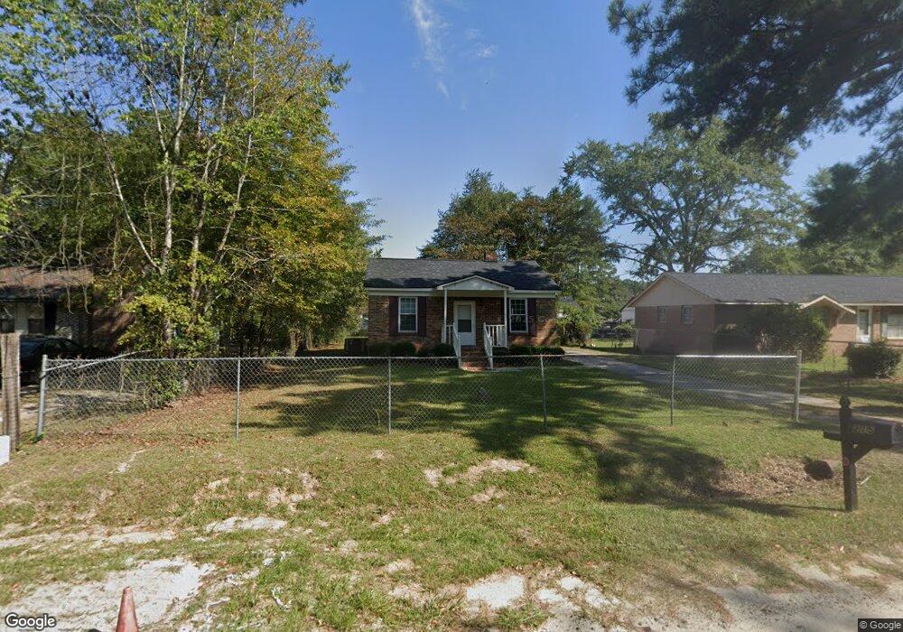
215 Ault Rd Hopkins, SC 29061
Estimated Value: $73,000 - $184,000
2
Beds
1
Bath
754
Sq Ft
$139/Sq Ft
Est. Value
About This Home
This home is located at 215 Ault Rd, Hopkins, SC 29061 and is currently estimated at $105,180, approximately $139 per square foot. 215 Ault Rd is a home located in Richland County with nearby schools including Hopkins Elementary School, Hopkins Middle School, and Lower Richland High School.
Ownership History
Date
Name
Owned For
Owner Type
Purchase Details
Closed on
Aug 8, 2025
Sold by
Leblanc Capital Llc
Bought by
White Porch Properties Llc
Current Estimated Value
Home Financials for this Owner
Home Financials are based on the most recent Mortgage that was taken out on this home.
Original Mortgage
$90,000
Outstanding Balance
$89,923
Interest Rate
6.77%
Mortgage Type
New Conventional
Estimated Equity
$15,257
Purchase Details
Closed on
May 7, 2025
Sold by
Johnson Teresa
Bought by
Leblanc Capital Llc
Home Financials for this Owner
Home Financials are based on the most recent Mortgage that was taken out on this home.
Original Mortgage
$98,000
Interest Rate
6.65%
Mortgage Type
Construction
Purchase Details
Closed on
Jun 12, 2008
Sold by
Frazier Linessa Walker
Bought by
Johnson Hampton and Johnson Teresa
Create a Home Valuation Report for This Property
The Home Valuation Report is an in-depth analysis detailing your home's value as well as a comparison with similar homes in the area
Home Values in the Area
Average Home Value in this Area
Purchase History
| Date | Buyer | Sale Price | Title Company |
|---|---|---|---|
| White Porch Properties Llc | -- | None Listed On Document | |
| Leblanc Capital Llc | $72,500 | None Listed On Document | |
| Johnson Hampton | $1,000 | -- |
Source: Public Records
Mortgage History
| Date | Status | Borrower | Loan Amount |
|---|---|---|---|
| Open | White Porch Properties Llc | $90,000 | |
| Previous Owner | Leblanc Capital Llc | $98,000 |
Source: Public Records
Tax History Compared to Growth
Tax History
| Year | Tax Paid | Tax Assessment Tax Assessment Total Assessment is a certain percentage of the fair market value that is determined by local assessors to be the total taxable value of land and additions on the property. | Land | Improvement |
|---|---|---|---|---|
| 2024 | $736 | $13,800 | $0 | $0 |
| 2023 | $736 | $480 | $0 | $0 |
| 2022 | $671 | $12,000 | $2,300 | $9,700 |
| 2021 | $647 | $720 | $0 | $0 |
| 2020 | $649 | $720 | $0 | $0 |
| 2019 | $613 | $720 | $0 | $0 |
| 2018 | $533 | $620 | $0 | $0 |
| 2017 | $525 | $620 | $0 | $0 |
| 2016 | $519 | $620 | $0 | $0 |
| 2015 | $515 | $620 | $0 | $0 |
| 2014 | $510 | $10,400 | $0 | $0 |
| 2013 | -- | $620 | $0 | $0 |
Source: Public Records
Map
Nearby Homes
- 1018 Edmonds Farm Rd
- 165 Sulton Johnson Dr
- 123 Doretha Ln
- 6807 Cabin Creek Rd
- 1532 Martin Luther King Blvd
- 281 Burbage Ct
- 240 Burbage Ct
- 175 Prioleau Rd
- 1113 Chappell Creek Rd
- 704 Common Widgeon Way
- 607 Marbled Teal Ln
- 613 Marbled Teal Way
- 609 Marbled Teal Way
- 612 Marbled Teal Ln
- 604 Marbled Teal Ln
- 7149 Cabin Creek Rd
- 400 Derby Ln
- 7070 Lower Richland Blvd
- 1127 Horrell Hill Rd
- 516 Red Plummage Way