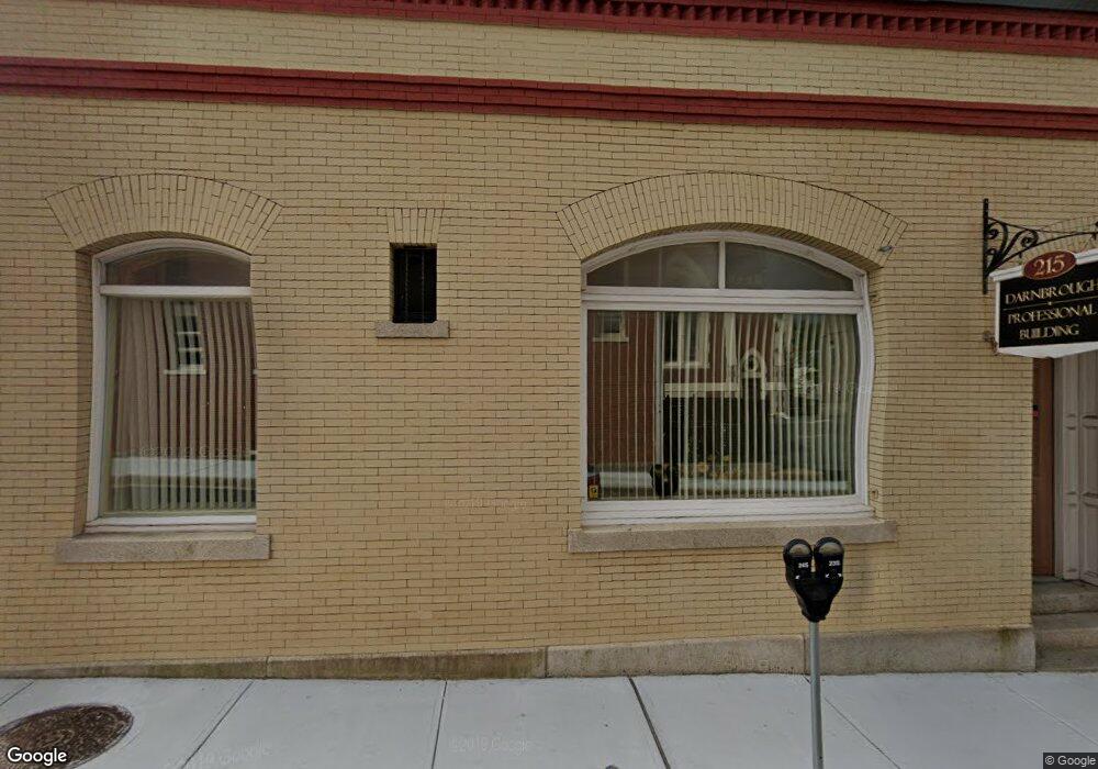
215 Bank St Unit 1 Fall River, MA 02720
Lower Highlands NeighborhoodEstimated Value: $852,703
--
Bed
1
Bath
5,264
Sq Ft
$162/Sq Ft
Est. Value
About This Home
This home is located at 215 Bank St Unit 1, Fall River, MA 02720 and is currently estimated at $852,703, approximately $161 per square foot. 215 Bank St Unit 1 is a home located in Bristol County with nearby schools including Mary Fonseca Elementary School, Morton Middle School, and B M C Durfee High School.
Ownership History
Date
Name
Owned For
Owner Type
Purchase Details
Closed on
Aug 13, 2009
Sold by
Darnbrough Douglas
Bought by
215 Bank Street Rt and Darnbrough Douglas J
Current Estimated Value
Home Financials for this Owner
Home Financials are based on the most recent Mortgage that was taken out on this home.
Original Mortgage
$250,000
Outstanding Balance
$164,244
Interest Rate
5.36%
Mortgage Type
Commercial
Estimated Equity
$688,459
Purchase Details
Closed on
Oct 31, 2001
Sold by
Family Svcs Assoc Inc
Bought by
Karousos Hospitality
Home Financials for this Owner
Home Financials are based on the most recent Mortgage that was taken out on this home.
Original Mortgage
$200,000
Interest Rate
6.82%
Mortgage Type
Commercial
Purchase Details
Closed on
Nov 10, 1987
Sold by
Wynn & Wynn Pc
Bought by
F Ser Assoc Grt F R In
Home Financials for this Owner
Home Financials are based on the most recent Mortgage that was taken out on this home.
Original Mortgage
$315,000
Interest Rate
10.97%
Mortgage Type
Commercial
Create a Home Valuation Report for This Property
The Home Valuation Report is an in-depth analysis detailing your home's value as well as a comparison with similar homes in the area
Home Values in the Area
Average Home Value in this Area
Purchase History
| Date | Buyer | Sale Price | Title Company |
|---|---|---|---|
| 215 Bank Street Rt | -- | -- | |
| Darnbrough Douglas | $145,000 | -- | |
| Karousos Hospitality | $285,000 | -- | |
| F Ser Assoc Grt F R In | $310,000 | -- |
Source: Public Records
Mortgage History
| Date | Status | Borrower | Loan Amount |
|---|---|---|---|
| Open | Darnbrough Douglas | $250,000 | |
| Closed | 215 Bank Street Rt | $250,000 | |
| Previous Owner | F Ser Assoc Grt F R In | $200,000 | |
| Previous Owner | F Ser Assoc Grt F R In | $300,000 | |
| Previous Owner | F Ser Assoc Grt F R In | $315,000 |
Source: Public Records
Tax History Compared to Growth
Tax History
| Year | Tax Paid | Tax Assessment Tax Assessment Total Assessment is a certain percentage of the fair market value that is determined by local assessors to be the total taxable value of land and additions on the property. | Land | Improvement |
|---|---|---|---|---|
| 2025 | $8,962 | $376,100 | $106,900 | $269,200 |
| 2024 | $8,561 | $357,600 | $101,900 | $255,700 |
| 2023 | $7,715 | $299,500 | $90,400 | $209,100 |
| 2022 | $8,518 | $299,500 | $90,400 | $209,100 |
| 2021 | $8,518 | $286,800 | $87,900 | $198,900 |
| 2020 | $8,620 | $281,600 | $89,400 | $192,200 |
| 2019 | $8,831 | $281,600 | $89,400 | $192,200 |
| 2018 | $8,661 | $278,300 | $89,400 | $188,900 |
| 2017 | $8,527 | $278,300 | $89,400 | $188,900 |
| 2016 | $8,107 | $278,300 | $89,400 | $188,900 |
| 2015 | $7,831 | $278,300 | $89,400 | $188,900 |
| 2014 | $7,425 | $278,300 | $89,400 | $188,900 |
Source: Public Records
Map
Nearby Homes
- 326 Bank St
- 381 Pine St
- 104 Oak St
- 89 Oak St
- 501 Pine St
- 464 Bank St Unit 10
- 171 O'Grady Unit 18 aka 206
- 206 Durfee St Unit 4B
- 206 Durfee St Unit 1A
- 206 Durfee St Unit 2B
- 206 Durfee St Unit 2A
- 206 Durfee St Unit 4A
- 206 Durfee St Unit 1B
- 104 Grove St
- 171 Ogrady St Unit 303 aka 26
- 34 Danforth St
- 360 High St
- 362 High St
- 364 High St
- 163 Linden St
- 215 Bank St
- 46 Rock St
- 52 Rock St
- 38 Rock St
- 37 Purchase St
- 197 Bank St
- 197 Bank St Unit 2
- 197 Bank St Unit 3
- 251 Bank St
- 202 Bank St Unit 1
- 85 Purchase St Unit 3
- 51 Rock St
- 200 Bank St
- 259 Bank St
- 259 Bank St Unit 1r
- 259 Bank St Unit 2
- 259 Bank St Unit 1
- 45 Rock St
- 275 Bank St Unit 2E
- 275 Bank St Unit 2