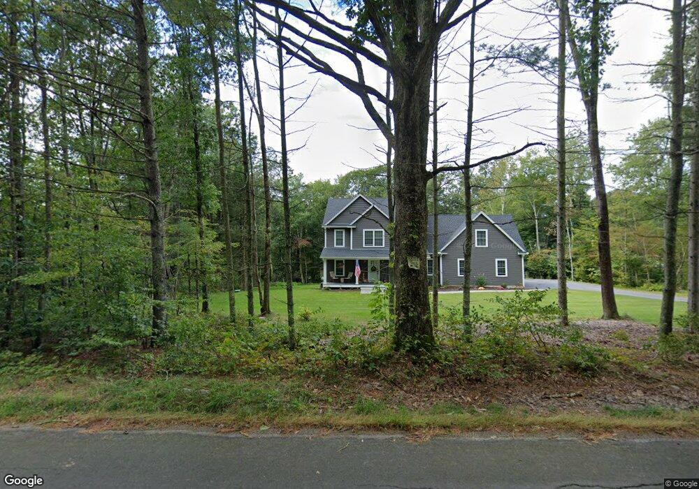
215 Barlow Cemetery Rd Woodstock, CT 06281
Estimated Value: $644,000 - $728,000
4
Beds
3
Baths
2,481
Sq Ft
$272/Sq Ft
Est. Value
About This Home
This home is located at 215 Barlow Cemetery Rd, Woodstock, CT 06281 and is currently estimated at $674,036, approximately $271 per square foot. 215 Barlow Cemetery Rd is a home with nearby schools including Woodstock Elementary School and Woodstock Middle School.
Ownership History
Date
Name
Owned For
Owner Type
Purchase Details
Closed on
Aug 4, 2021
Sold by
Square 1 Building Assoc
Bought by
Bottone Adam A and Botton Amanda L
Current Estimated Value
Home Financials for this Owner
Home Financials are based on the most recent Mortgage that was taken out on this home.
Original Mortgage
$433,376
Outstanding Balance
$393,820
Interest Rate
3%
Mortgage Type
Purchase Money Mortgage
Estimated Equity
$280,216
Create a Home Valuation Report for This Property
The Home Valuation Report is an in-depth analysis detailing your home's value as well as a comparison with similar homes in the area
Home Values in the Area
Average Home Value in this Area
Purchase History
| Date | Buyer | Sale Price | Title Company |
|---|---|---|---|
| Bottone Adam A | $418,317 | None Available |
Source: Public Records
Mortgage History
| Date | Status | Borrower | Loan Amount |
|---|---|---|---|
| Open | Bottone Adam A | $433,376 |
Source: Public Records
Tax History Compared to Growth
Tax History
| Year | Tax Paid | Tax Assessment Tax Assessment Total Assessment is a certain percentage of the fair market value that is determined by local assessors to be the total taxable value of land and additions on the property. | Land | Improvement |
|---|---|---|---|---|
| 2025 | $7,555 | $309,500 | $40,300 | $269,200 |
| 2024 | $7,131 | $309,500 | $40,300 | $269,200 |
| 2023 | $6,936 | $309,500 | $40,300 | $269,200 |
| 2022 | $6,453 | $309,500 | $40,300 | $269,200 |
| 2021 | $1,028 | $40,300 | $40,300 | $0 |
| 2020 | $987 | $40,300 | $40,300 | $0 |
| 2019 | $987 | $40,300 | $40,300 | $0 |
| 2018 | $987 | $40,300 | $40,300 | $0 |
| 2017 | $979 | $40,300 | $40,300 | $0 |
| 2016 | $1,120 | $46,600 | $46,600 | $0 |
| 2015 | $1,089 | $46,600 | $46,600 | $0 |
| 2014 | $1,076 | $46,600 | $46,600 | $0 |
Source: Public Records
Map
Nearby Homes
- 402 Perrin Rd
- 60 Indian Spring Rd
- 30 Lyon Rd
- 145 Perrin Rd
- 0 Hemlock Dr
- 23 Little Bungee Hill Rd
- 19 Hiawatha Heights
- 29 Crooked Trail Extension
- 80 Bungay Hill Rd
- 70 Laurel Hill Dr
- 86A County Rd
- 4 Perrin Rd
- 56 Laurel Hill Dr
- 10 Laurel Hill Dr
- 00 Route 171 Unit Lot 1
- 381 Bungay Hill Rd
- 140 Ragged Hill Rd
- Lot 4A Weeks Rd
- 0 Aplin Hill Ln
- 8 Nahaco Hill Ln
- 231 Barlow Cemetery Rd
- 239 Barlow Cemetery Rd
- 21 Jeans Ct
- 33 Jeans Ct
- 207 Barlow Cemetery Rd
- 234 Barlow Cemetery Rd
- 4 Jeans Ct
- 26 Jeans Ct
- 199 Barlow Cemetery Rd
- 36 Jeans Ct
- 44 Jeans Ct
- 54 Jeans Ct
- 10 Jeans Ct
- 249 Barlow Cemetery Rd
- 49 Jeans Ct
- 50 Jeans Ct
- L12C Barlow Cemetery Rd
- L12B Barlow Cemetery Rd
- 145 Barber Rd