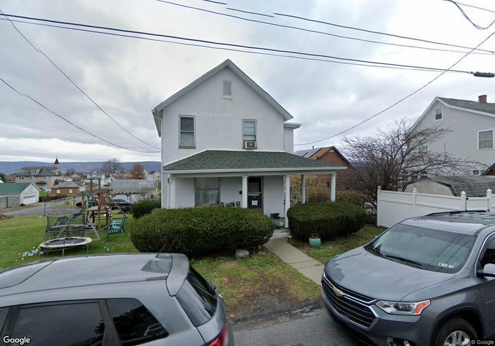
215 Battin St Dunmore, PA 18512
Estimated Value: $125,350 - $253,000
--
Bed
--
Bath
--
Sq Ft
9,322
Sq Ft Lot
About This Home
This home is located at 215 Battin St, Dunmore, PA 18512 and is currently estimated at $188,338. 215 Battin St is a home located in Lackawanna County with nearby schools including Red Mountain School, Dunmore Elementary Center, and St. Mary of Mount Carmel School.
Ownership History
Date
Name
Owned For
Owner Type
Purchase Details
Closed on
Apr 13, 2018
Sold by
Beechko Andrew and Beechiko Ellen M
Bought by
Graff Christopher F and Graff Diane M
Current Estimated Value
Home Financials for this Owner
Home Financials are based on the most recent Mortgage that was taken out on this home.
Original Mortgage
$100,000
Outstanding Balance
$86,038
Interest Rate
4.46%
Mortgage Type
New Conventional
Estimated Equity
$102,300
Purchase Details
Closed on
Dec 15, 1945
Bought by
Beechko Andrew and Isowski Mary
Create a Home Valuation Report for This Property
The Home Valuation Report is an in-depth analysis detailing your home's value as well as a comparison with similar homes in the area
Home Values in the Area
Average Home Value in this Area
Purchase History
| Date | Buyer | Sale Price | Title Company |
|---|---|---|---|
| Graff Christopher F | $125,000 | None Available | |
| Beechko Andrew | -- | -- |
Source: Public Records
Mortgage History
| Date | Status | Borrower | Loan Amount |
|---|---|---|---|
| Open | Graff Christopher F | $100,000 |
Source: Public Records
Tax History Compared to Growth
Tax History
| Year | Tax Paid | Tax Assessment Tax Assessment Total Assessment is a certain percentage of the fair market value that is determined by local assessors to be the total taxable value of land and additions on the property. | Land | Improvement |
|---|---|---|---|---|
| 2025 | $2,089 | $7,000 | $1,600 | $5,400 |
| 2024 | $1,786 | $7,000 | $1,600 | $5,400 |
| 2023 | $1,786 | $7,000 | $1,600 | $5,400 |
| 2022 | $1,675 | $7,000 | $1,600 | $5,400 |
| 2021 | $1,642 | $7,000 | $1,600 | $5,400 |
| 2020 | $1,642 | $7,000 | $1,600 | $5,400 |
| 2019 | $1,570 | $7,000 | $1,600 | $5,400 |
| 2018 | $1,545 | $7,000 | $1,600 | $5,400 |
| 2017 | $1,500 | $7,000 | $1,600 | $5,400 |
| 2016 | $790 | $7,000 | $1,600 | $5,400 |
| 2015 | -- | $7,000 | $1,600 | $5,400 |
| 2014 | -- | $7,000 | $1,600 | $5,400 |
Source: Public Records
Map
Nearby Homes
- 427 E Warren St
- 305 Reeves St
- 314 E Drinker St
- 213 N Apple St
- 225, 233 E 301 East Drinker Stret
- 604 Marjorie Dr
- 212 E Elm St
- 219 E Elm St
- 115 W Warren St
- 618 Shirley Ln
- 201 Church St
- 715 Moritz St
- 322 Oak St
- 141 Walnut St
- 350 Smith St Unit L 70
- 410 Smith St
- 503 Smith St
- 507 Smith St
- 1625 Clay Ave
- 1715 Quincy Ave
- 209 Battin St Unit 211
- 420 Throop St
- 424 Throop St
- 422 Throop St
- 205 Battin St Unit 207
- 500 Throop St
- 418 Throop St
- 210 Battin St
- 203 Battin St
- 416 Throop St
- 419 E Warren St
- 423 E Warren St
- 204 Battin St
- 502 Throop St
- 417 E Warren St
- 421 E Warren St
- 425 E Warren St
- 414 Throop St
- 503 E Warren St
- 415 E Warren St