215 Bennett St Wrangell, AK 99929
Estimated Value: $248,897 - $322,000
2
Beds
1
Bath
1,064
Sq Ft
$268/Sq Ft
Est. Value
About This Home
This home is located at 215 Bennett St, Wrangell, AK 99929 and is currently estimated at $285,449, approximately $268 per square foot. 215 Bennett St is a home with nearby schools including Evergreen Elementary School, Stikine Middle School, and Wrangell High School.
Ownership History
Date
Name
Owned For
Owner Type
Purchase Details
Closed on
Sep 16, 2009
Sold by
Secretary Of Veterans Affairs
Bought by
Mcmurren Dale A and Mcmurren Mable M
Current Estimated Value
Purchase Details
Closed on
Jul 17, 2009
Sold by
Alaska Pacific Bank
Bought by
The Department Of Veterans Affairs
Purchase Details
Closed on
Feb 2, 2009
Sold by
Traufer Robert J and Mitchell Margaret Y
Bought by
Alaska Pacific Bank and Alaska Federal Savings & Loan Associatio
Create a Home Valuation Report for This Property
The Home Valuation Report is an in-depth analysis detailing your home's value as well as a comparison with similar homes in the area
Home Values in the Area
Average Home Value in this Area
Purchase History
| Date | Buyer | Sale Price | Title Company |
|---|---|---|---|
| Mcmurren Dale A | -- | None Available | |
| The Department Of Veterans Affairs | -- | None Available | |
| Alaska Pacific Bank | $75,506 | None Available |
Source: Public Records
Tax History Compared to Growth
Tax History
| Year | Tax Paid | Tax Assessment Tax Assessment Total Assessment is a certain percentage of the fair market value that is determined by local assessors to be the total taxable value of land and additions on the property. | Land | Improvement |
|---|---|---|---|---|
| 2025 | $1,506 | $175,100 | $30,400 | $144,700 |
| 2024 | $1,970 | $154,500 | $27,300 | $127,200 |
| 2023 | $1,970 | $154,500 | $27,300 | $127,200 |
| 2022 | $1,362 | $106,800 | $27,400 | $79,400 |
| 2021 | $1,362 | $106,800 | $27,400 | $79,400 |
| 2020 | $1,362 | $106,800 | $27,400 | $79,400 |
| 2019 | $1,362 | $106,800 | $27,400 | $79,400 |
| 2018 | $1,362 | $106,800 | $27,400 | $79,400 |
| 2017 | $1,345 | $105,500 | $27,400 | $78,100 |
| 2016 | $1,345 | $105,500 | $27,400 | $78,100 |
| 2015 | $1,345 | $105,500 | $27,400 | $78,100 |
| 2014 | $1,298 | $101,800 | $27,400 | $74,400 |
Source: Public Records
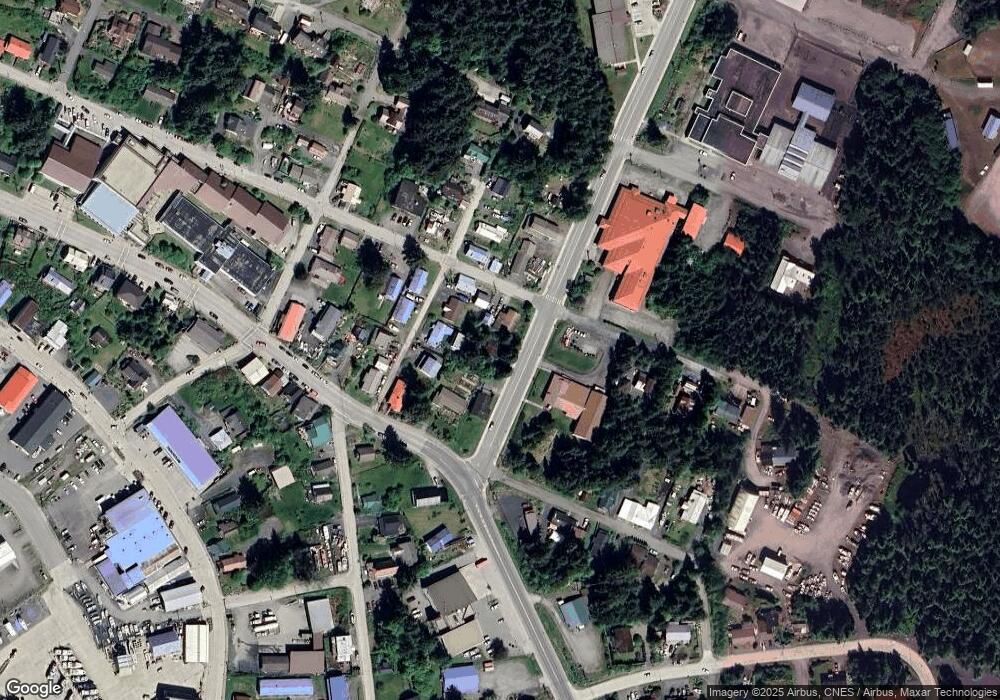
Map
Nearby Homes
- 514 Church St
- 304 1st Ave
- 203 3rd St
- 612 Council Dr
- 616 Council Dr
- 501 Mission St
- 501 Mission Legal Address Only
- 204 1st Ave
- 204 First St
- 209 Mckinnon St
- 1 Reliance Harbor
- 1 Reliance Legal Address Only Unit Harbor
- 855 Lemieux St
- 339 Cassiar St Legal Address Only
- 339 Cassiar St
- 1104 Peninsula St
- L7 B1 Uss 1593
- L16 & 17 Evergreen Ave
- L16 & L17 Evergreen Ave
- 3.9 Mile Zimovia Hwy S
- L2-3 Plat 82-6
- L6 B1 Asls 81-234
- L9 B2 Wrangell Island W
- 319 Weber St
- L7 B6 Wrangell
- 315 Weber St
- 310 Bennett St
- 214 Saint Michaels St
- 419 Church St
- 425 Church St
- L18B B19 Saint Michaels St
- 403 Church St
- 703 Reid St
- 211 Saint Michaels St
- 631 Wrangell Ave
- 106 Pine St
- 441 Church St
- 322 Reid St
- 327 1st Ave
- 520 Church St