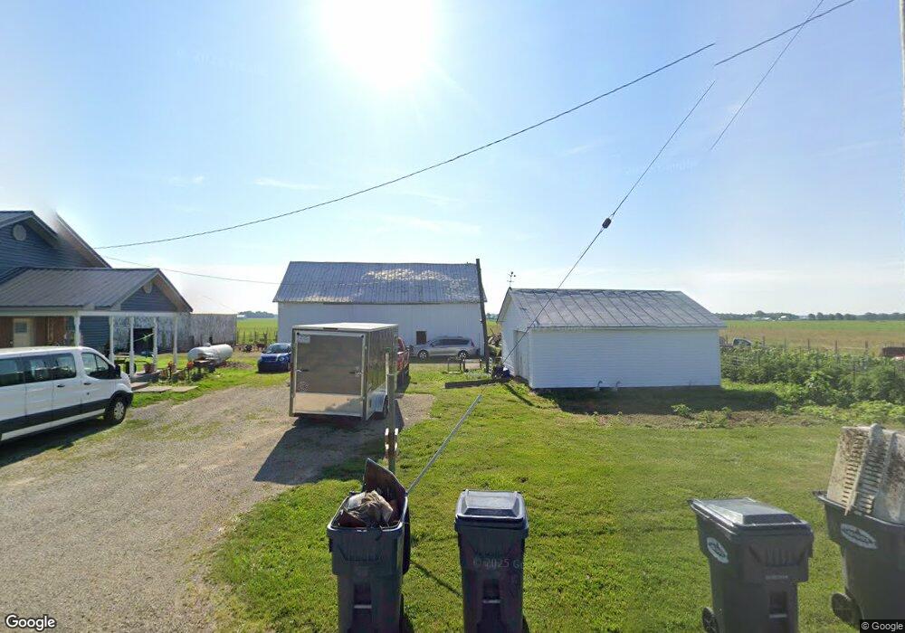
215 Blose Rd Arcanum, OH 45304
Estimated Value: $311,000 - $462,000
3
Beds
1
Bath
1,576
Sq Ft
$259/Sq Ft
Est. Value
About This Home
This home is located at 215 Blose Rd, Arcanum, OH 45304 and is currently estimated at $407,680, approximately $258 per square foot. 215 Blose Rd is a home located in Darke County with nearby schools including Tri-County North Elementary School, Tri-County North Middle School, and Tri-County North High School.
Ownership History
Date
Name
Owned For
Owner Type
Purchase Details
Closed on
Dec 17, 2021
Sold by
Bloom Jeremy M
Bought by
Bloom Kimberlee A
Current Estimated Value
Purchase Details
Closed on
Mar 24, 2017
Sold by
Carroll Gregory R
Bought by
Bloom Jeremy Michael and Bloom Kimberlee Ann
Home Financials for this Owner
Home Financials are based on the most recent Mortgage that was taken out on this home.
Original Mortgage
$180,000
Interest Rate
4.16%
Mortgage Type
Future Advance Clause Open End Mortgage
Purchase Details
Closed on
Jun 14, 2013
Sold by
Carroll Amy N
Bought by
Carroll Gregory R
Home Financials for this Owner
Home Financials are based on the most recent Mortgage that was taken out on this home.
Original Mortgage
$136,000
Interest Rate
3%
Mortgage Type
Adjustable Rate Mortgage/ARM
Create a Home Valuation Report for This Property
The Home Valuation Report is an in-depth analysis detailing your home's value as well as a comparison with similar homes in the area
Home Values in the Area
Average Home Value in this Area
Purchase History
| Date | Buyer | Sale Price | Title Company |
|---|---|---|---|
| Bloom Kimberlee A | $166 | Hobbs H Steven | |
| Bloom Jeremy Michael | $180,000 | Attorney | |
| Carroll Gregory R | -- | Attorney |
Source: Public Records
Mortgage History
| Date | Status | Borrower | Loan Amount |
|---|---|---|---|
| Previous Owner | Bloom Jeremy Michael | $180,000 | |
| Previous Owner | Carroll Gregory R | $136,000 |
Source: Public Records
Tax History Compared to Growth
Tax History
| Year | Tax Paid | Tax Assessment Tax Assessment Total Assessment is a certain percentage of the fair market value that is determined by local assessors to be the total taxable value of land and additions on the property. | Land | Improvement |
|---|---|---|---|---|
| 2024 | $3,904 | $105,230 | $35,430 | $69,800 |
| 2023 | $4,291 | $105,230 | $35,430 | $69,800 |
| 2022 | $3,688 | $85,000 | $31,550 | $53,450 |
| 2021 | $3,471 | $79,560 | $31,550 | $48,010 |
| 2020 | $2,673 | $62,440 | $31,550 | $30,890 |
| 2019 | $2,466 | $57,640 | $30,030 | $27,610 |
| 2018 | $1,635 | $57,650 | $30,030 | $27,620 |
| 2017 | $1,636 | $54,980 | $30,030 | $24,950 |
| 2016 | $1,701 | $49,360 | $24,860 | $24,500 |
| 2015 | $1,701 | $49,360 | $24,860 | $24,500 |
| 2014 | $1,642 | $49,360 | $24,860 | $24,500 |
| 2013 | $1,512 | $49,080 | $24,580 | $24,500 |
Source: Public Records
Map
Nearby Homes
- 7163 Georgetown Verona Rd
- 9517 Verona Rd
- 140 State Route 503
- 6806 Darke-Preble County Line Rd
- 10351 Number Nine Rd
- 8784 Grubbs Rex Rd
- 1486 Ohio 49
- 610 Pearl St
- 620 Pearl St
- 0 Ohio 722 Unit 10051560
- 0 Ohio 722 Unit 10 Acres 1040185
- 0 Ohio 722 Unit 938536
- 0 Ohio 722
- 0 Friday Rd
- 10995 Rockridge Rd
- 693 Friday Rd
- 2012 Ohio 49
- 6254 State Route 722
- 9527 Sweet Potato Ridge Rd
- 107 Merrie Ln
- 110 Layton Rd
- 110 Layton Rd
- 621 Main St
- 8268 Darke Preble Co Line Rd
- 8268 Darke Preble Co Line Rd
- 7398 Darke-Preble County Line Rd
- 604 Main St
- 509 East St
- 5310 Darke Preble Co Line Rd
- 6768 Darke Preble County Line Rd
- 505 East St
- 501 East St
- 411 East St
- 501 Main St
- 8075 Ohio 722
- 8133 State Route 722
- 409 East St
- 8354 Darke Preble Co Line Rd
- 412 East St
- 11936 Reynolds Rd