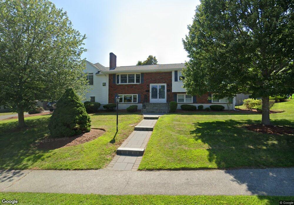
215 Burroughs Rd Braintree, MA 02184
East Braintree NeighborhoodEstimated Value: $970,000 - $1,185,000
3
Beds
3
Baths
3,067
Sq Ft
$352/Sq Ft
Est. Value
About This Home
This home is located at 215 Burroughs Rd, Braintree, MA 02184 and is currently estimated at $1,080,179, approximately $352 per square foot. 215 Burroughs Rd is a home located in Norfolk County with nearby schools including Braintree High School, Meeting House Montessori School, and Sacred Heart Elementary School.
Ownership History
Date
Name
Owned For
Owner Type
Purchase Details
Closed on
Jan 5, 2023
Sold by
Sullivan John L and Sullivan Georgina M
Bought by
Jg Sullivan Ft
Current Estimated Value
Purchase Details
Closed on
Dec 1, 1988
Sold by
Lategola Margaret P
Bought by
Sullivan John L
Create a Home Valuation Report for This Property
The Home Valuation Report is an in-depth analysis detailing your home's value as well as a comparison with similar homes in the area
Home Values in the Area
Average Home Value in this Area
Purchase History
| Date | Buyer | Sale Price | Title Company |
|---|---|---|---|
| Jg Sullivan Ft | -- | None Available | |
| Sullivan John L | $252,500 | -- |
Source: Public Records
Mortgage History
| Date | Status | Borrower | Loan Amount |
|---|---|---|---|
| Previous Owner | Sullivan John L | $158,000 | |
| Previous Owner | Sullivan John L | $160,000 |
Source: Public Records
Tax History Compared to Growth
Tax History
| Year | Tax Paid | Tax Assessment Tax Assessment Total Assessment is a certain percentage of the fair market value that is determined by local assessors to be the total taxable value of land and additions on the property. | Land | Improvement |
|---|---|---|---|---|
| 2025 | $8,694 | $871,100 | $399,500 | $471,600 |
| 2024 | $7,782 | $820,900 | $368,000 | $452,900 |
| 2023 | $7,438 | $762,100 | $336,400 | $425,700 |
| 2022 | $7,165 | $720,100 | $294,400 | $425,700 |
| 2021 | $6,747 | $678,100 | $266,000 | $412,100 |
| 2020 | $6,447 | $653,900 | $241,800 | $412,100 |
| 2019 | $6,250 | $619,400 | $241,800 | $377,600 |
| 2018 | $6,022 | $571,300 | $210,300 | $361,000 |
| 2017 | $5,816 | $541,500 | $199,700 | $341,800 |
| 2016 | $5,693 | $518,500 | $189,200 | $329,300 |
| 2015 | $5,751 | $519,500 | $185,000 | $334,500 |
| 2014 | $5,208 | $456,000 | $160,800 | $295,200 |
Source: Public Records
Map
Nearby Homes
- 11 Rogers Cir
- 54 Elmlawn Rd
- 106 Home Park Rd
- 102 Conrad St
- 25 John Paul Cir
- 23 Bower Rd
- 39 Morrison Rd
- 161 Cedar St
- 10 Hughes St
- 218 Independence Ave Unit B
- 9 Independence Ave Unit 212
- 39 Dobson Rd
- 150 Elm St Unit 1
- 195 Independence Ave Unit 137
- 155 Kendrick Ave Unit T7
- 8 Vinton Ave Unit 10
- 83 Madison Ave
- 129 Hayward St
- 205 River St
- 166 Phipps St
- 99 Burroughs Rd
- 205 Burroughs Rd
- 80 Bower Rd
- 216 Burroughs Rd
- 109 Burroughs Rd
- 89 Burroughs Rd
- 81 Bower Rd
- 3 Rogers Cir
- 195 Burroughs Rd
- 102 Bower Rd
- 96 Burroughs Rd
- 119 Burroughs Rd
- 106 Burroughs Rd
- 30 Perry Rd
- 196 Burroughs Rd
- 658 Commercial St
- 116 Burroughs Rd
- 20 Perry Rd
- 6 Rogers Cir
- 8 Rogers Cir