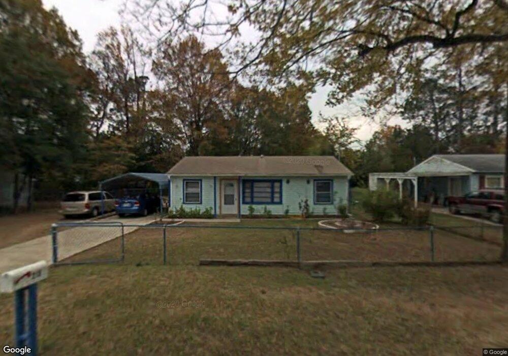
215 Carroll Dr Warner Robins, GA 31093
Estimated Value: $72,000 - $114,000
3
Beds
1
Bath
864
Sq Ft
$112/Sq Ft
Est. Value
About This Home
This home is located at 215 Carroll Dr, Warner Robins, GA 31093 and is currently estimated at $96,700, approximately $111 per square foot. 215 Carroll Dr is a home located in Houston County with nearby schools including Lindsey Elementary School, Westside Elementary School, and Northside Middle School.
Ownership History
Date
Name
Owned For
Owner Type
Purchase Details
Closed on
Feb 20, 2025
Sold by
Pratt Richard Allan and Ombao Jose M
Bought by
Pratt Alma V and Ombao Jose M
Current Estimated Value
Purchase Details
Closed on
Jul 6, 2009
Sold by
Pratt Richard A and Pratt Alma V
Bought by
Pratt Richard A and Pratt Alma V
Purchase Details
Closed on
Oct 16, 2003
Sold by
Pratt Richard A
Bought by
Pratt Richard A and Pratt Alma V
Purchase Details
Closed on
Oct 31, 1984
Sold by
Chancy James F and Chancy Gloria J
Bought by
Pratt Richard A
Purchase Details
Closed on
Feb 21, 1980
Sold by
Alligood Roger K
Bought by
Chancy James F and Chancy Gloria J
Purchase Details
Closed on
Oct 8, 1958
Bought by
Alligood Roger K
Create a Home Valuation Report for This Property
The Home Valuation Report is an in-depth analysis detailing your home's value as well as a comparison with similar homes in the area
Home Values in the Area
Average Home Value in this Area
Purchase History
| Date | Buyer | Sale Price | Title Company |
|---|---|---|---|
| Pratt Alma V | -- | None Listed On Document | |
| Pratt Alma V | -- | None Listed On Document | |
| Pratt Richard A | -- | None Available | |
| Pratt Richard A | -- | None Available | |
| Pratt Richard A | -- | -- | |
| Pratt Richard A | $23,700 | -- | |
| Chancy James F | -- | -- | |
| Alligood Roger K | -- | -- |
Source: Public Records
Tax History Compared to Growth
Tax History
| Year | Tax Paid | Tax Assessment Tax Assessment Total Assessment is a certain percentage of the fair market value that is determined by local assessors to be the total taxable value of land and additions on the property. | Land | Improvement |
|---|---|---|---|---|
| 2024 | $302 | $22,440 | $5,000 | $17,440 |
| 2023 | $200 | $17,840 | $2,880 | $14,960 |
| 2022 | $129 | $14,760 | $2,880 | $11,880 |
| 2021 | $87 | $12,920 | $2,880 | $10,040 |
| 2020 | $430 | $12,920 | $2,880 | $10,040 |
| 2019 | $88 | $12,920 | $2,880 | $10,040 |
| 2018 | $88 | $12,920 | $2,880 | $10,040 |
| 2017 | $88 | $12,920 | $2,880 | $10,040 |
| 2016 | $77 | $12,440 | $2,880 | $9,560 |
| 2015 | -- | $12,440 | $2,880 | $9,560 |
| 2014 | -- | $14,520 | $2,880 | $11,640 |
| 2013 | -- | $14,520 | $2,880 | $11,640 |
Source: Public Records
Map
Nearby Homes
- 217 Carroll Dr
- 314 Evergreen St
- 312 Evergreen St
- 219 Carroll Dr
- 316 Evergreen St
- 310 Evergreen St
- 216 Wallace Dr
- 214 Carroll Dr
- 211 Carroll Dr
- 212 Carroll Dr
- 216 Carroll Dr
- 308 Evergreen St
- 218 Carroll Dr
- 209 Carroll Dr
- 318 Evergreen St
- 208 Carroll Dr
- 306 Evergreen St
- 221 Carroll Dr
- 313 Evergreen St
- 220 Carroll Dr