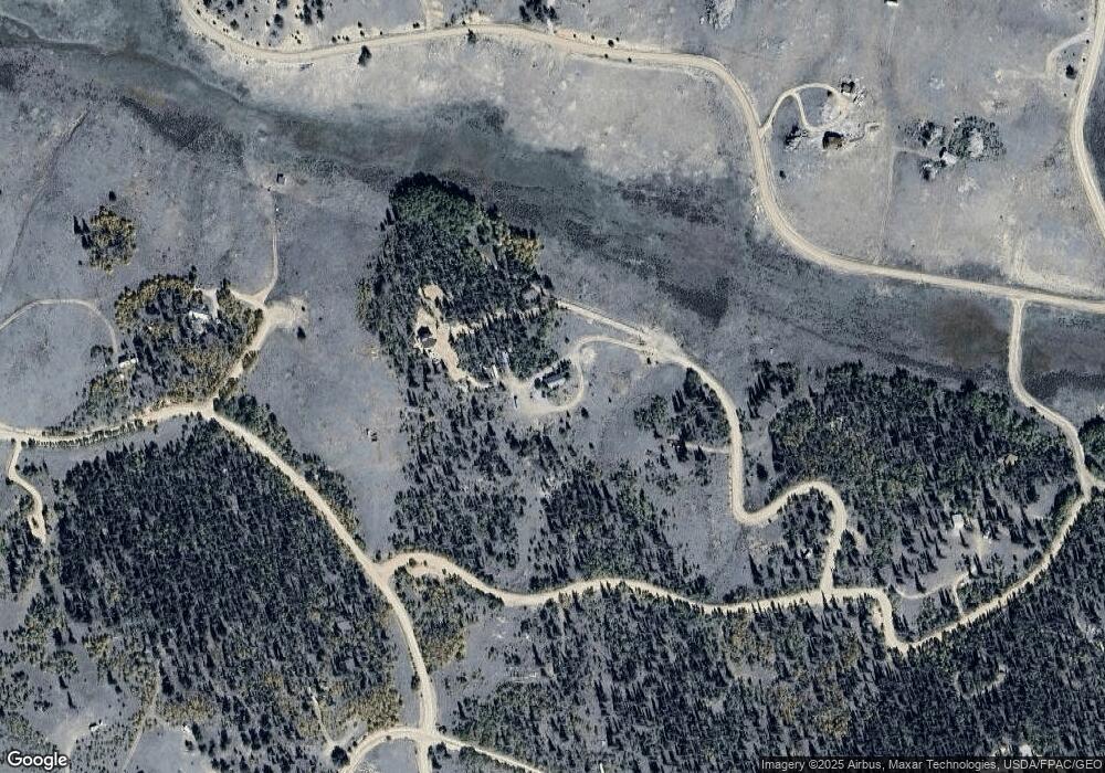
215 Cartridge Way Jefferson, CO 80456
Estimated Value: $217,000 - $293,094
1
Bed
1
Bath
672
Sq Ft
$380/Sq Ft
Est. Value
About This Home
This home is located at 215 Cartridge Way, Jefferson, CO 80456 and is currently estimated at $255,524, approximately $380 per square foot. 215 Cartridge Way is a home located in Park County with nearby schools including Edith Teter Elementary School, Cienega Elementary School, and South Park Middle School.
Ownership History
Date
Name
Owned For
Owner Type
Purchase Details
Closed on
Dec 27, 2021
Sold by
Eloy Olson John
Bought by
Olson Taylor
Current Estimated Value
Purchase Details
Closed on
Mar 1, 2010
Sold by
Ryden Freddrick C
Bought by
Eloy John and Olson Dawn M
Purchase Details
Closed on
Oct 8, 2008
Sold by
Freddrick C Ryden & Carol E Ryden Family
Bought by
Olson John Eloy and Olson Dawn M
Purchase Details
Closed on
Mar 12, 2008
Sold by
Fredderick C Ryden & Carol E Ryden Trust
Bought by
Freddrick C Ryden & Carol E Ryden Family
Create a Home Valuation Report for This Property
The Home Valuation Report is an in-depth analysis detailing your home's value as well as a comparison with similar homes in the area
Home Values in the Area
Average Home Value in this Area
Purchase History
| Date | Buyer | Sale Price | Title Company |
|---|---|---|---|
| Olson Taylor | -- | None Listed On Document | |
| Eloy John | $15,000 | None Available | |
| Olson John Eloy | $77,000 | Security Title | |
| Freddrick C Ryden & Carol E Ryden Family | -- | None Available |
Source: Public Records
Tax History Compared to Growth
Tax History
| Year | Tax Paid | Tax Assessment Tax Assessment Total Assessment is a certain percentage of the fair market value that is determined by local assessors to be the total taxable value of land and additions on the property. | Land | Improvement |
|---|---|---|---|---|
| 2024 | $796 | $13,980 | $1,590 | $12,390 |
| 2023 | $796 | $13,980 | $1,590 | $12,390 |
| 2022 | $743 | $11,413 | $1,135 | $10,278 |
| 2021 | $833 | $13,030 | $2,460 | $10,570 |
| 2020 | $689 | $10,500 | $1,480 | $9,020 |
| 2019 | $670 | $10,500 | $1,480 | $9,020 |
| 2018 | $557 | $10,500 | $1,480 | $9,020 |
| 2017 | $479 | $8,550 | $1,470 | $7,080 |
| 2016 | $504 | $8,880 | $1,240 | $7,640 |
| 2015 | $514 | $8,880 | $1,240 | $7,640 |
| 2014 | $493 | $0 | $0 | $0 |
Source: Public Records
Map
Nearby Homes
- 4019 Buffalo Ridge Rd
- 1404 Buffalo Ridge Rd
- 4588 Remington Rd
- 381 Remington Rd
- 64 Carbine Rd
- 538 Remington Rd
- 16 Buckshot Trail
- 458 Remington Rd
- 3370 Remington Rd
- 6452 Remington Rd
- 0 Winchester Dr Unit 380
- 00 Winchester Dr Unit 382
- 2387 Buffalo Ridge Rd
- 50 Rawhide Way Unit 28
- 111 Antelope Way
- 646 Antelope Way
- 499 Kiowa St
- 368 Antelope Way
- 209 Crooked Rock Path
- 9 Hump Path
- 304 Pahaska Way
- 165 Cartridge Way
- 42 Cartridge Way
- 4118 Remington Rd
- 4118 Remington Rd
- 1638 Buffalo Ridge Rd
- 251 Pepperbox Path
- 4016 Remington Rd
- 1495 Buffalo Ridge Rd
- 309 Pepperbox Path
- 236 Pepperbox Path
- 129 Ouray Trail
- 425 Pahaska Way
- 55 Remington Rd
- 3947 Buffalo Ridge Rd
- 4019 Buffalo Ridge Rd Unit 6
- 2741 Buffalo Ridge Rd
- 1104 Buffalo Ridge Rd
- 1710 Buffalo Ridge Rd
- 2189 Buffalo Ridge Rd
