215 Cedar Creek Cir Unit Lots 11,12 & 13 Sunset, SC 29685
Shady Grove NeighborhoodEstimated Value: $1,935,000 - $3,063,000
4
Beds
5
Baths
4,466
Sq Ft
$507/Sq Ft
Est. Value
About This Home
This home is located at 215 Cedar Creek Cir Unit Lots 11,12 & 13, Sunset, SC 29685 and is currently estimated at $2,265,798, approximately $507 per square foot. 215 Cedar Creek Cir Unit Lots 11,12 & 13 is a home located in Pickens County with nearby schools including Hagood Elementary School, Pickens Middle School, and Pickens High School.
Ownership History
Date
Name
Owned For
Owner Type
Purchase Details
Closed on
Sep 10, 2020
Sold by
Schilling Francis J
Bought by
Christine D Warner Revocable L
Current Estimated Value
Purchase Details
Closed on
Oct 29, 2006
Sold by
Granieri Robert and Mccall Clary L
Bought by
Schilling Francis J and Schilling Eloise B
Home Financials for this Owner
Home Financials are based on the most recent Mortgage that was taken out on this home.
Original Mortgage
$775,000
Interest Rate
6.31%
Mortgage Type
New Conventional
Create a Home Valuation Report for This Property
The Home Valuation Report is an in-depth analysis detailing your home's value as well as a comparison with similar homes in the area
Home Values in the Area
Average Home Value in this Area
Purchase History
| Date | Buyer | Sale Price | Title Company |
|---|---|---|---|
| Christine D Warner Revocable L | $1,165,500 | Airey Law Firm Ltd Co | |
| Schilling Francis J | $1,475,000 | None Available |
Source: Public Records
Mortgage History
| Date | Status | Borrower | Loan Amount |
|---|---|---|---|
| Previous Owner | Schilling Francis J | $775,000 |
Source: Public Records
Tax History Compared to Growth
Tax History
| Year | Tax Paid | Tax Assessment Tax Assessment Total Assessment is a certain percentage of the fair market value that is determined by local assessors to be the total taxable value of land and additions on the property. | Land | Improvement |
|---|---|---|---|---|
| 2024 | $5,600 | $46,620 | $12,000 | $34,620 |
| 2023 | $5,600 | $46,620 | $12,000 | $34,620 |
| 2022 | $5,626 | $46,620 | $12,000 | $34,620 |
| 2021 | $5,358 | $46,620 | $12,000 | $34,620 |
| 2020 | $17,080 | $75,650 | $18,000 | $57,650 |
| 2019 | $17,185 | $75,650 | $18,000 | $57,650 |
| 2018 | $6,205 | $56,500 | $16,000 | $40,500 |
| 2017 | $6,108 | $56,500 | $16,000 | $40,500 |
| 2015 | $6,099 | $56,500 | $0 | $0 |
| 2008 | -- | $48,060 | $13,000 | $35,060 |
Source: Public Records
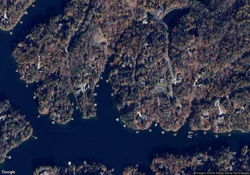
Map
Nearby Homes
- 229,233 Cedar Creek Cir
- 307 Cedar Creek Dr
- 142 Summit Pine
- 122 Summit Pine
- 121 Running Bear Ln
- 112 Running Bear Ln
- 116 Stillwater Ct
- 1000 Cedar Creek Rd
- Lot 23 Old Shallowford Bridge Rd
- Lot 22 Old Shallowford Bridge Rd
- Lot 21 Old Shallowford Bridge Rd
- 310 Top Ridge Dr
- 604 Top Ridge Dr
- 105 Parkview Ln
- 141 Parkview Ln
- 105 Great Camp Ct
- 805 Top Ridge Dr
- Lot 56 Blue Water Trail
- Lot 9 Diamondback Dr
- Lot 6 Canebrake Dr
- 215 Cedar Creek Cir
- 219 Cedar Creek Cir
- 102 Laurel Ln
- 102 Laurel Ln
- 102 Laurel Ln Unit LPC 2
- 108 Villa Ct
- 221 Cedar Creek Cir
- 106 Laurel Pond Way Unit LPC-6
- 225 Cedar Creek Cir
- 103 Laurel Ln
- 103 Laurel Ln Unit LPC-03
- 105 Poplar Pointe
- 109 Poplar Pointe
- 109 Poplar Pointe Unit Lot 24 Cedar Creek
- 101 Cedar Creek Cir
- 101 Poplar Pointe
- 109 Cedar Creek Dr
- 405 Cedar Creek Dr
- 110 Poplar
- 110 Poplar Pointe