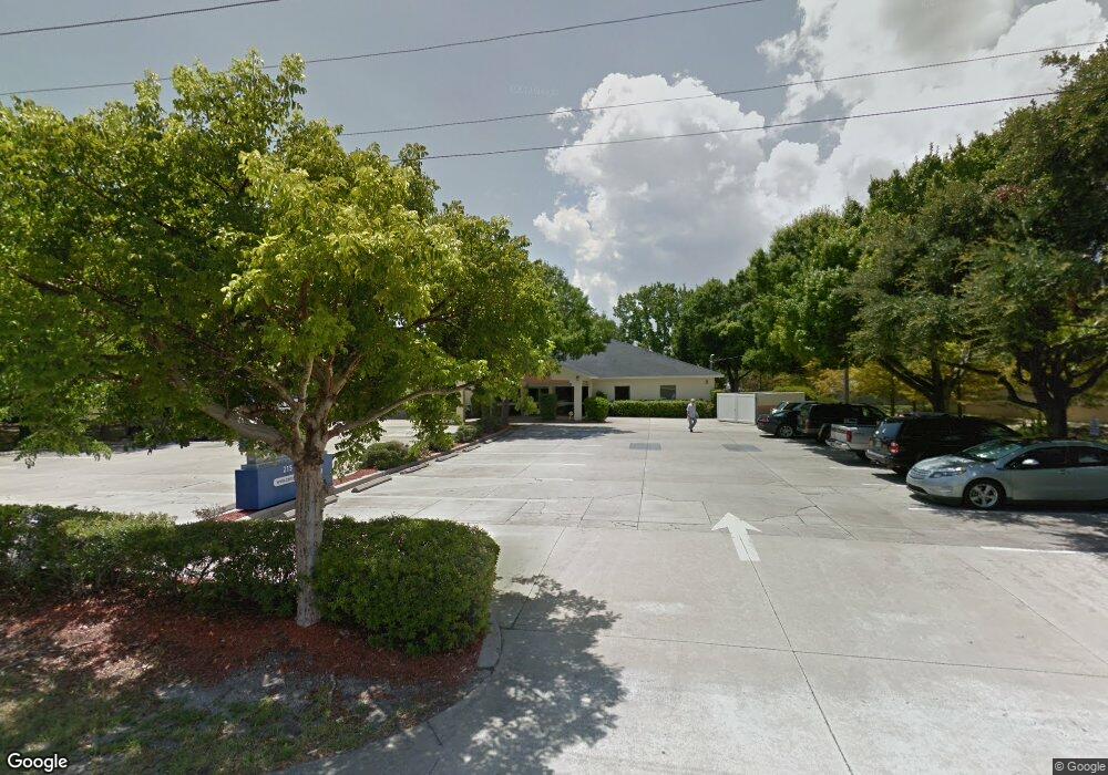
215 Cone Rd Merritt Island, FL 32952
Estimated Value: $2,906,115
--
Bed
--
Bath
6,744
Sq Ft
$431/Sq Ft
Est. Value
About This Home
This home is located at 215 Cone Rd, Merritt Island, FL 32952 and is currently estimated at $2,906,115, approximately $430 per square foot. 215 Cone Rd is a home located in Brevard County with nearby schools including Tropical Elementary School, Thomas Jefferson Middle School, and Merritt Island High School.
Ownership History
Date
Name
Owned For
Owner Type
Purchase Details
Closed on
Jan 29, 2019
Sold by
Pts Of Brevard County Inc
Bought by
215 Cone Road Owner Llc
Current Estimated Value
Home Financials for this Owner
Home Financials are based on the most recent Mortgage that was taken out on this home.
Original Mortgage
$1,078,000
Outstanding Balance
$422,600
Interest Rate
4.4%
Mortgage Type
Future Advance Clause Open End Mortgage
Estimated Equity
$2,483,515
Purchase Details
Closed on
Nov 14, 2001
Sold by
P J Goodwin Corp
Bought by
Levine & Zimm Real Est Holdings
Purchase Details
Closed on
Mar 7, 1994
Sold by
Charles Silas J
Bought by
P T S Brevard Cty Inc
Create a Home Valuation Report for This Property
The Home Valuation Report is an in-depth analysis detailing your home's value as well as a comparison with similar homes in the area
Home Values in the Area
Average Home Value in this Area
Purchase History
| Date | Buyer | Sale Price | Title Company |
|---|---|---|---|
| 215 Cone Road Owner Llc | $1,960,000 | Fidelity National Title | |
| Levine & Zimm Real Est Holdings | -- | -- | |
| P T S Brevard Cty Inc | -- | -- |
Source: Public Records
Mortgage History
| Date | Status | Borrower | Loan Amount |
|---|---|---|---|
| Open | 215 Cone Road Owner Llc | $1,078,000 |
Source: Public Records
Tax History Compared to Growth
Tax History
| Year | Tax Paid | Tax Assessment Tax Assessment Total Assessment is a certain percentage of the fair market value that is determined by local assessors to be the total taxable value of land and additions on the property. | Land | Improvement |
|---|---|---|---|---|
| 2025 | $20,321 | $1,465,290 | -- | -- |
| 2024 | $20,536 | $1,517,450 | -- | -- |
| 2023 | $20,536 | $1,497,050 | $98,470 | $1,398,580 |
| 2022 | $18,912 | $1,421,450 | $0 | $0 |
| 2021 | $20,262 | $1,400,360 | $72,210 | $1,328,150 |
| 2020 | $20,496 | $1,393,920 | $72,210 | $1,321,710 |
| 2019 | $12,049 | $834,160 | $72,210 | $761,950 |
| 2018 | $10,404 | $602,700 | $72,210 | $530,490 |
| 2017 | $10,267 | $570,000 | $0 | $570,000 |
| 2016 | $10,273 | $544,000 | $0 | $0 |
| 2015 | $9,994 | $507,000 | $82,060 | $424,940 |
| 2014 | $9,900 | $492,000 | $82,060 | $409,940 |
Source: Public Records
Map
Nearby Homes
- 90 S Tropical Way
- 476 Nancie Ave
- 66 Moore Ave
- 185 Moore Ave
- 140 Brandy Ln
- 180 Brandy Ln
- 489 Kennwood Ave
- 95 Peck Ave
- 30 Victoria St
- 115 Carib Dr
- 220 Bel Aire Dr S
- 355 Aztec Ave
- 106 Victoria St
- 3190 S Courtenay Pkwy
- 270 W Lauren Ct
- 280 Andros Dr
- 455 Catamaran Dr Unit 48
- 1040 Carrigan Blvd
- 435 Catamaran Dr Unit 49
- 230 Andros Dr
- 650 S Courtenay Pkwy Unit 101
- 485 Seacrest Ave
- 487 Seacrest Ave
- 650 S Courtenay Pkwy
- 650 S Courtenay Pkwy Unit 102
- 489 Seacrest Ave Unit ID1325661P
- 491 Seacrest Ave
- 0 Ocean St
- 0 Ocean St Unit 651708
- 8 Ocean St
- 493 Seacrest Ave
- 21 Corriente St
- 9 Ocean St
- 488 Seacrest Ave
- 495 Seacrest Ave
- 490 Seacrest Ave
- 10 Ocean St
- 630 Cone Park Ct
- 630 Cone Park Ct Unit A & B
- 630 Cone Park Ct Unit A Or B