215 Copper Mill Rd Dahlonega, GA 30533
Estimated Value: $397,322 - $485,000
--
Bed
3
Baths
2,714
Sq Ft
$162/Sq Ft
Est. Value
About This Home
This home is located at 215 Copper Mill Rd, Dahlonega, GA 30533 and is currently estimated at $439,831, approximately $162 per square foot. 215 Copper Mill Rd is a home located in Lumpkin County with nearby schools including Clay County Middle School and Lumpkin County High School.
Ownership History
Date
Name
Owned For
Owner Type
Purchase Details
Closed on
Nov 20, 1998
Sold by
Allison Franklin
Bought by
Hamilton Richard Cur
Current Estimated Value
Purchase Details
Closed on
Sep 30, 1996
Sold by
Wimpy A J
Bought by
Allison Franklin
Purchase Details
Closed on
Nov 14, 1995
Bought by
Adams Stephen
Purchase Details
Closed on
May 26, 1989
Sold by
Wimpy A J
Bought by
Wimpy A J
Purchase Details
Closed on
May 9, 1988
Sold by
Lunsford Everett
Bought by
Wimpy A J
Create a Home Valuation Report for This Property
The Home Valuation Report is an in-depth analysis detailing your home's value as well as a comparison with similar homes in the area
Home Values in the Area
Average Home Value in this Area
Purchase History
| Date | Buyer | Sale Price | Title Company |
|---|---|---|---|
| Hamilton Richard Cur | $125,000 | -- | |
| Allison Franklin | $125,000 | -- | |
| Adams Stephen | $14,500 | -- | |
| Wimpy A J | -- | -- | |
| Wimpy A J | -- | -- | |
| Lunsford Everett | -- | -- |
Source: Public Records
Tax History Compared to Growth
Tax History
| Year | Tax Paid | Tax Assessment Tax Assessment Total Assessment is a certain percentage of the fair market value that is determined by local assessors to be the total taxable value of land and additions on the property. | Land | Improvement |
|---|---|---|---|---|
| 2024 | $2,416 | $107,176 | $12,840 | $94,336 |
| 2023 | $1,936 | $101,853 | $12,840 | $89,013 |
| 2022 | $2,133 | $88,144 | $8,556 | $79,588 |
| 2021 | $1,920 | $77,008 | $8,556 | $68,452 |
| 2020 | $1,940 | $75,522 | $8,556 | $66,966 |
| 2019 | $1,957 | $75,522 | $8,556 | $66,966 |
| 2018 | $1,847 | $67,108 | $8,556 | $58,552 |
| 2017 | $1,822 | $64,970 | $8,556 | $56,414 |
| 2016 | $1,771 | $61,236 | $8,556 | $52,680 |
| 2015 | $1,579 | $61,236 | $8,556 | $52,680 |
| 2014 | $1,579 | $61,895 | $8,556 | $53,339 |
| 2013 | -- | $63,212 | $8,556 | $54,656 |
Source: Public Records
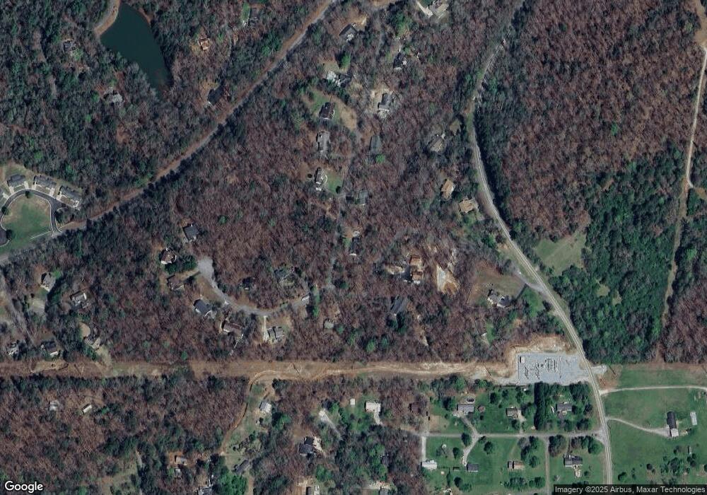
Map
Nearby Homes
- 380 Copper Mill Rd
- 128 Young Deer Dr
- 202 Indian Trail
- 87 Tolleffs Trail
- 0 Arborwood Dr Unit 10645890
- 83 Austin Ct
- 45 Chestatee River Ridge
- 6480 Highway 52 W
- 86.99 Acres Mincie Mountain
- 600 Chapman Ridge Ln
- 500 Chapman Ridge Ln
- 27.68 Chapman Ridge Ln
- 100 Rocky Branch Dr
- 23.86 Acres Mincie Mountain
- 20.65 Acres Mincie Mountain
- 42.65 Acres Mincie Mountain
- 306 Copper Mill Rd
- 282 Copper Mill Rd
- 192 Copper Mill Rd
- 338 Copper Mill Rd
- 193 Copper Mill Rd
- 18 Old Oak Way
- 0 Hollow Dr
- 139 Copper Mill Rd
- 388 Copper Mill Rd Unit TRACT A
- 388 Copper Mill Rd
- 441 Copper Mill Rd
- 88 Old Oak Way
- LOT 15 Old Oak Way
- 61 Old Oak Way
- 485 Copper Mill Rd
- 480 Copper Mill Rd
- 115 Copper Mill Rd
- 144 Copper Mill Rd
- 109 Hollow Dr
- 66 Jerry Ayers Rd