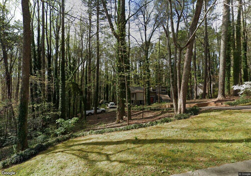
215 Cross Brook Dr Acworth, GA 30102
Oak Grove NeighborhoodEstimated Value: $368,000 - $368,652
3
Beds
3
Baths
2,106
Sq Ft
$175/Sq Ft
Est. Value
About This Home
This home is located at 215 Cross Brook Dr, Acworth, GA 30102 and is currently estimated at $368,326, approximately $174 per square foot. 215 Cross Brook Dr is a home located in Cherokee County with nearby schools including Carmel Elementary School, Woodstock Middle School, and Woodstock High School.
Ownership History
Date
Name
Owned For
Owner Type
Purchase Details
Closed on
Apr 29, 2010
Sold by
Federal Natl Mtg Assn Fnma
Bought by
Pabis Anna M
Current Estimated Value
Home Financials for this Owner
Home Financials are based on the most recent Mortgage that was taken out on this home.
Original Mortgage
$64,000
Outstanding Balance
$42,439
Interest Rate
4.99%
Estimated Equity
$325,887
Purchase Details
Closed on
Oct 6, 2009
Sold by
Navy Fcu
Bought by
Federal Natl Mtg Assn Fnma
Purchase Details
Closed on
May 21, 2004
Sold by
Morrow Maureen
Bought by
Dalton John J and Dalton Amy
Home Financials for this Owner
Home Financials are based on the most recent Mortgage that was taken out on this home.
Original Mortgage
$157,000
Interest Rate
5.88%
Create a Home Valuation Report for This Property
The Home Valuation Report is an in-depth analysis detailing your home's value as well as a comparison with similar homes in the area
Home Values in the Area
Average Home Value in this Area
Purchase History
| Date | Buyer | Sale Price | Title Company |
|---|---|---|---|
| Pabis Anna M | -- | -- | |
| Federal Natl Mtg Assn Fnma | -- | -- | |
| Navy Fcu | $82,900 | -- | |
| Dalton John J | $157,000 | -- |
Source: Public Records
Mortgage History
| Date | Status | Borrower | Loan Amount |
|---|---|---|---|
| Open | Pabis Anna M | $64,000 | |
| Previous Owner | Dalton John J | $157,000 |
Source: Public Records
Tax History Compared to Growth
Tax History
| Year | Tax Paid | Tax Assessment Tax Assessment Total Assessment is a certain percentage of the fair market value that is determined by local assessors to be the total taxable value of land and additions on the property. | Land | Improvement |
|---|---|---|---|---|
| 2025 | $3,211 | $122,260 | $29,600 | $92,660 |
| 2024 | $3,144 | $120,980 | $28,000 | $92,980 |
| 2023 | $2,978 | $114,580 | $28,000 | $86,580 |
| 2022 | $2,650 | $100,820 | $25,600 | $75,220 |
| 2021 | $2,297 | $80,900 | $19,200 | $61,700 |
| 2020 | $1,994 | $70,180 | $16,000 | $54,180 |
| 2019 | $1,827 | $64,280 | $16,000 | $48,280 |
| 2018 | $1,592 | $55,680 | $12,000 | $43,680 |
| 2017 | $1,466 | $130,700 | $12,000 | $40,280 |
| 2016 | $1,408 | $120,900 | $11,600 | $36,760 |
| 2015 | $1,419 | $120,700 | $11,600 | $36,680 |
| 2014 | $1,267 | $107,500 | $11,600 | $31,400 |
Source: Public Records
Map
Nearby Homes
- 219 Cross Brook Dr Unit 3
- 5132 Highland Trail
- 5174 Highland Trail
- 5126 Highland Trail
- 5160 Highland Trail Unit 3
- 5144 Highland Tl
- 5120 Highland Trail
- 214 Cross Brook Dr
- 220 Cross Brook Dr
- 5188 Highland Trail
- 212 Cross Brook Dr
- 0 Cross Brook Dr Unit 8878770
- 0 Cross Brook Dr Unit 8603137
- 0 Cross Brook Dr
- 0 Highland Trail Unit 8901250
- 0 Highland Trail Unit 7159406
- 0 Highland Trail Unit 8668410
- 0 Highland Trail Unit 8451047
- 0 Highland Trail Unit 8360005
- 0 Highland Trail Unit 8325059