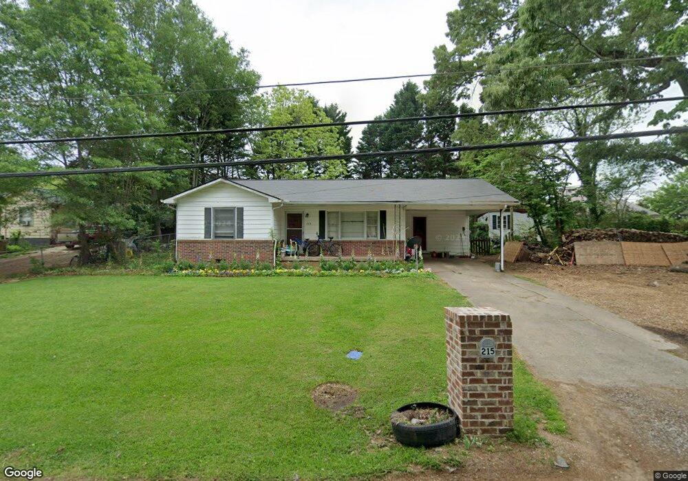
215 Denson Dr Cumming, GA 30040
Estimated Value: $265,485 - $301,000
2
Beds
1
Bath
1,168
Sq Ft
$243/Sq Ft
Est. Value
About This Home
This home is located at 215 Denson Dr, Cumming, GA 30040 and is currently estimated at $283,371, approximately $242 per square foot. 215 Denson Dr is a home located in Forsyth County with nearby schools including Cumming Elementary School, Otwell Middle School, and Forsyth Central High School.
Ownership History
Date
Name
Owned For
Owner Type
Purchase Details
Closed on
Sep 5, 2003
Sold by
Perrin William S and Perrin Geraldine W
Bought by
Henson Jeremy B
Current Estimated Value
Home Financials for this Owner
Home Financials are based on the most recent Mortgage that was taken out on this home.
Original Mortgage
$102,877
Outstanding Balance
$46,738
Interest Rate
5.94%
Estimated Equity
$236,633
Create a Home Valuation Report for This Property
The Home Valuation Report is an in-depth analysis detailing your home's value as well as a comparison with similar homes in the area
Home Values in the Area
Average Home Value in this Area
Purchase History
| Date | Buyer | Sale Price | Title Company |
|---|---|---|---|
| Henson Jeremy B | $103,600 | -- |
Source: Public Records
Mortgage History
| Date | Status | Borrower | Loan Amount |
|---|---|---|---|
| Open | Henson Jeremy B | $102,877 |
Source: Public Records
Tax History
| Year | Tax Paid | Tax Assessment Tax Assessment Total Assessment is a certain percentage of the fair market value that is determined by local assessors to be the total taxable value of land and additions on the property. | Land | Improvement |
|---|---|---|---|---|
| 2025 | $2,090 | $81,036 | $24,304 | $56,732 |
| 2024 | $2,090 | $85,244 | $34,000 | $51,244 |
| 2023 | $2,136 | $86,792 | $30,000 | $56,792 |
Source: Public Records
Map
Nearby Homes
- 208 Pirkle Ferry Rd
- 116 E Maple St
- 0 Georgia 400 Unit 7490148
- 547 Pearl St
- 551 Pearl St
- 555 Pearl St
- 563 Pearl St
- 565 Pearl St
- 522 Pearl St
- 567 Pearl St
- 526 Pearl St
- 528 Pearl St
- 579 Pearl St
- 504 Pearl St
- 123 Peaceful Grove Dr
- 527 Godfrey Dr
- 525 Godfrey Dr
- 1204 Waterfall Ct
- 523 Godfrey Dr
- 505 Cottage Creek Dr
- 213 Denson Dr
- 217 Denson Dr
- 422 Pirkle Ferry Rd
- 212 Denson Dr
- 214 Denson Dr
- 500 Pirkle Ferry Rd
- 210 Denson Dr
- 208 Denson Dr
- 222 Denson Dr
- 315 Patterson St
- 416 Pirkle Ferry Rd Unit J-500
- 416 Pirkle Ferry Rd Unit J-100
- 416 Pirkle Ferry Rd Unit H300
- 416 Pirkle Ferry Rd Unit H400
- 416 Pirkle Ferry Rd Unit K400
- 416 Pirkle Ferry Rd
- 6060 Moon Ridge
- 6160 Moon Ridge
- 6025 Moon Ridge
- 6090 Moon Ridge