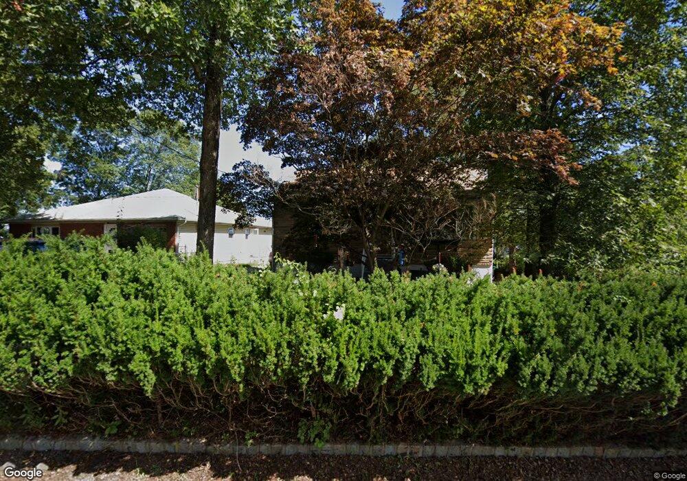
215 Dupont Ave Hopatcong, NJ 07843
Estimated Value: $324,384 - $364,000
--
Bed
--
Bath
920
Sq Ft
$378/Sq Ft
Est. Value
About This Home
This home is located at 215 Dupont Ave, Hopatcong, NJ 07843 and is currently estimated at $347,846, approximately $378 per square foot. 215 Dupont Ave is a home located in Sussex County with nearby schools including Hudson Maxim Elementary School, Durban Avenue Elementary School, and Tulsa Trail Elementary School.
Ownership History
Date
Name
Owned For
Owner Type
Purchase Details
Closed on
Nov 27, 2002
Sold by
Braccini Robert P and Braccini Eileen
Bought by
Villeda Danilo and Fazio Villeda Jane
Current Estimated Value
Home Financials for this Owner
Home Financials are based on the most recent Mortgage that was taken out on this home.
Original Mortgage
$148,000
Outstanding Balance
$63,207
Interest Rate
6.16%
Mortgage Type
Stand Alone First
Estimated Equity
$284,639
Create a Home Valuation Report for This Property
The Home Valuation Report is an in-depth analysis detailing your home's value as well as a comparison with similar homes in the area
Home Values in the Area
Average Home Value in this Area
Purchase History
| Date | Buyer | Sale Price | Title Company |
|---|---|---|---|
| Villeda Danilo | $185,000 | -- |
Source: Public Records
Mortgage History
| Date | Status | Borrower | Loan Amount |
|---|---|---|---|
| Open | Villeda Danilo | $148,000 |
Source: Public Records
Tax History Compared to Growth
Tax History
| Year | Tax Paid | Tax Assessment Tax Assessment Total Assessment is a certain percentage of the fair market value that is determined by local assessors to be the total taxable value of land and additions on the property. | Land | Improvement |
|---|---|---|---|---|
| 2025 | $5,292 | $253,800 | $119,500 | $134,300 |
| 2024 | $4,913 | $253,800 | $119,500 | $134,300 |
| 2023 | $4,913 | $140,400 | $63,800 | $76,600 |
| 2022 | $4,816 | $140,400 | $63,800 | $76,600 |
| 2021 | $4,734 | $140,400 | $63,800 | $76,600 |
| 2020 | $4,685 | $140,400 | $63,800 | $76,600 |
| 2019 | $4,665 | $140,400 | $63,800 | $76,600 |
| 2018 | $4,656 | $140,400 | $63,800 | $76,600 |
| 2017 | $4,649 | $140,400 | $63,800 | $76,600 |
| 2016 | $4,658 | $140,400 | $63,800 | $76,600 |
| 2015 | $4,553 | $140,400 | $63,800 | $76,600 |
| 2014 | $4,538 | $140,400 | $63,800 | $76,600 |
Source: Public Records
Map
Nearby Homes
- 207 Dupont Ave
- 121 Bucknell Trail
- 114 Rollins Trail
- 38 W River Styx Rd
- 8 Oneida Ave
- 35 Mountain Trail
- 10 N River Styx Rd
- 5 W Unit 204
- 5 W River Styx Rd Unit 302
- 8 Walton Rd
- 23 Fordham Trail
- 4 Kansas Way
- 496 River Styx Rd
- 176 Monroe Trail
- 125 Jefferson Trail
- 34 Oklahoma Trail
- 2 Lincoln Trail
- 4 Northwestern Trail
- 17 Coolidge Trail
- 736 Brooklyn Mountain Rd
- 217 Dupont Ave
- 213 Dupont Ave
- 219 Dupont Ave
- 211 Dupont Ave
- 216 Dupont Ave
- 214 Dupont Ave
- 218 Dupont Ave
- 212 Dupont Ave
- 221 Dupont Ave
- 209 Dupont Ave
- 220 Dupont Ave
- 210 Dupont Ave
- 223 Dupont Ave
- 222 Dupont Ave
- 207 Dupont Ave
- 202 Hudson Ave
- 7 Skidmore Trail
- 208 Dupont Ave
- 205 Dupont Ave
- 160 Hudson Ave