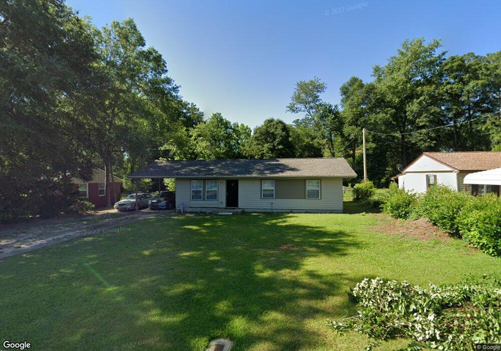
215 Dupont Ave Quincy, FL 32351
Estimated Value: $70,000 - $145,000
3
Beds
1
Bath
960
Sq Ft
$127/Sq Ft
Est. Value
About This Home
This home is located at 215 Dupont Ave, Quincy, FL 32351 and is currently estimated at $121,564, approximately $126 per square foot. 215 Dupont Ave is a home located in Gadsden County with nearby schools including Crossroad Academy.
Ownership History
Date
Name
Owned For
Owner Type
Purchase Details
Closed on
Jan 22, 2021
Sold by
Kirkland Keith and United States Department Of Ag
Bought by
Smc Properties One Llc
Current Estimated Value
Purchase Details
Closed on
Dec 1, 2003
Sold by
North Florida Education Developent Corp
Bought by
Kirkland Keith
Purchase Details
Closed on
Aug 20, 2003
Sold by
Carroll Clayton
Bought by
North Florida Educational Development Co
Home Financials for this Owner
Home Financials are based on the most recent Mortgage that was taken out on this home.
Original Mortgage
$58,609
Interest Rate
6.13%
Mortgage Type
Unknown
Create a Home Valuation Report for This Property
The Home Valuation Report is an in-depth analysis detailing your home's value as well as a comparison with similar homes in the area
Home Values in the Area
Average Home Value in this Area
Purchase History
| Date | Buyer | Sale Price | Title Company |
|---|---|---|---|
| Smc Properties One Llc | $38,100 | None Available | |
| Kirkland Keith | $69,700 | -- | |
| North Florida Educational Development Co | $56,900 | The Title Company Of Tallaha |
Source: Public Records
Mortgage History
| Date | Status | Borrower | Loan Amount |
|---|---|---|---|
| Previous Owner | North Florida Educational Development Co | $58,609 | |
| Closed | Kirkland Keith | $0 |
Source: Public Records
Tax History Compared to Growth
Tax History
| Year | Tax Paid | Tax Assessment Tax Assessment Total Assessment is a certain percentage of the fair market value that is determined by local assessors to be the total taxable value of land and additions on the property. | Land | Improvement |
|---|---|---|---|---|
| 2024 | $1,791 | $84,428 | $15,750 | $68,678 |
| 2023 | $1,706 | $81,658 | $15,000 | $66,658 |
| 2022 | $1,566 | $74,769 | $10,000 | $64,769 |
| 2021 | $1,064 | $52,784 | $8,000 | $44,784 |
| 2020 | $392 | $44,743 | $8,000 | $36,743 |
| 2019 | $409 | $45,276 | $8,000 | $37,276 |
| 2018 | $473 | $48,157 | $0 | $0 |
| 2017 | $464 | $48,157 | $0 | $0 |
| 2016 | $484 | $48,736 | $0 | $0 |
| 2015 | $493 | $48,916 | $0 | $0 |
| 2014 | $508 | $49,490 | $0 | $0 |
Source: Public Records
Map
Nearby Homes
- 332 S Shadow St
- 208 N Lowe St
- 359 E Jefferson St
- 210 Marshall St
- 3-12-2N-4W-1100-0000 Station St
- 1204 Canal St
- 1127 Hill St
- 000 Circle Dr
- XXXX Strong Rd
- X Jetty Ave
- XX Jetty Ave
- 799 S Pat Thomas Pkwy
- 224 Camellia Dr
- 618 W Washington St
- 944 Strong Rd
- 0 Kent St
- 404 N Adams St
- 3 S Slappey St
- 214 W Sharon St
- 531 Williams St
- 221 Dupont Ave
- 203 Dupont Ave
- 227 Dupont Ave
- 218 Greenwood Dr
- 216 Dupont Ave
- 104 Greenwood Dr
- 222 Dupont Ave
- 201 Dupont Ave
- 233 Dupont Ave
- 209 Dupont Ave
- 210 Dupont Ave
- 228 Dupont Ave
- 202 Dupont Ave
- 210 Greenwood Dr
- 234 Dupont Ave
- 102 Greenwood Dr
- 107 Dupont Ave
- 776 S Madison St
- 773 S Madison St
- 240 Dupont Ave