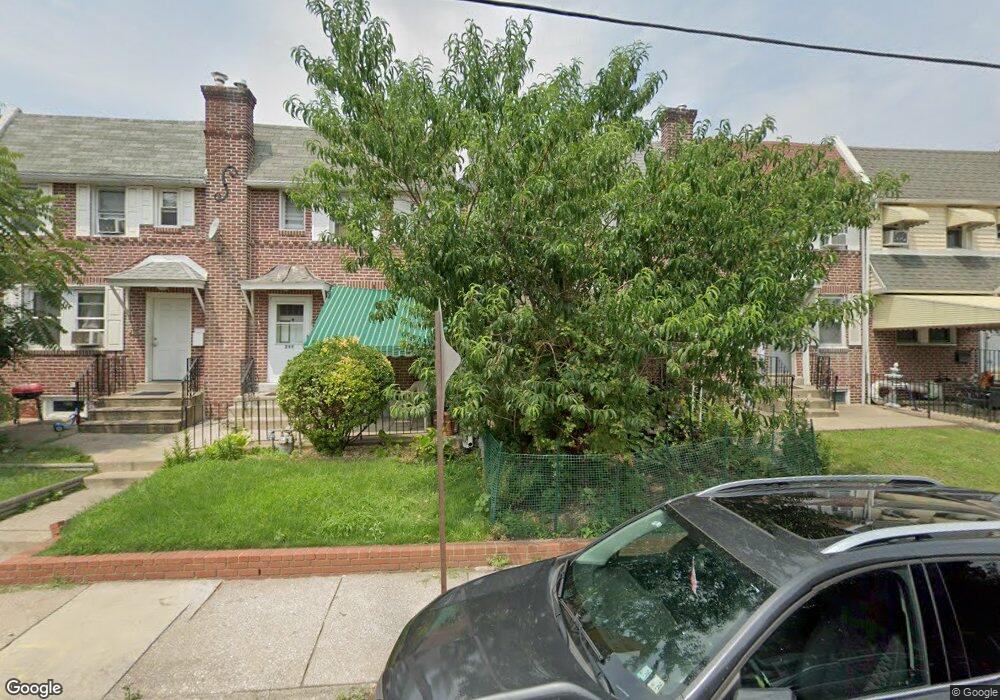
215 E Greenwood Ave Lansdowne, PA 19050
Estimated Value: $174,000 - $198,000
3
Beds
1
Bath
1,152
Sq Ft
$161/Sq Ft
Est. Value
About This Home
This home is located at 215 E Greenwood Ave, Lansdowne, PA 19050 and is currently estimated at $185,577, approximately $161 per square foot. 215 E Greenwood Ave is a home located in Delaware County with nearby schools including Charles Kelly El School, Upper Darby High School, and Vision Academy Charter School.
Ownership History
Date
Name
Owned For
Owner Type
Purchase Details
Closed on
Mar 24, 2000
Sold by
Farrell Samuel W and Farrell Kathryn E
Bought by
Stokes Bernadette M
Current Estimated Value
Home Financials for this Owner
Home Financials are based on the most recent Mortgage that was taken out on this home.
Original Mortgage
$47,035
Outstanding Balance
$16,067
Interest Rate
8.4%
Mortgage Type
FHA
Estimated Equity
$169,510
Create a Home Valuation Report for This Property
The Home Valuation Report is an in-depth analysis detailing your home's value as well as a comparison with similar homes in the area
Home Values in the Area
Average Home Value in this Area
Purchase History
| Date | Buyer | Sale Price | Title Company |
|---|---|---|---|
| Stokes Bernadette M | $56,000 | Commonwealth Land Title Ins |
Source: Public Records
Mortgage History
| Date | Status | Borrower | Loan Amount |
|---|---|---|---|
| Open | Stokes Bernadette M | $47,035 |
Source: Public Records
Tax History Compared to Growth
Tax History
| Year | Tax Paid | Tax Assessment Tax Assessment Total Assessment is a certain percentage of the fair market value that is determined by local assessors to be the total taxable value of land and additions on the property. | Land | Improvement |
|---|---|---|---|---|
| 2025 | $3,743 | $88,510 | $14,480 | $74,030 |
| 2024 | $3,743 | $88,510 | $14,480 | $74,030 |
| 2023 | $3,708 | $88,510 | $14,480 | $74,030 |
| 2022 | $3,608 | $88,510 | $14,480 | $74,030 |
| 2021 | $4,865 | $88,510 | $14,480 | $74,030 |
| 2020 | $3,918 | $60,570 | $18,110 | $42,460 |
| 2019 | $3,849 | $60,570 | $18,110 | $42,460 |
| 2018 | $3,805 | $60,570 | $0 | $0 |
| 2017 | $3,706 | $60,570 | $0 | $0 |
| 2016 | $332 | $60,570 | $0 | $0 |
| 2015 | $332 | $60,570 | $0 | $0 |
| 2014 | $332 | $60,570 | $0 | $0 |
Source: Public Records
Map
Nearby Homes
- 209 E Greenwood Ave
- 226 E Greenwood Ave
- 315 E Essex Ave
- 317 E Essex Ave
- 319 E Essex Ave
- 230 Wynnewood Ave
- 178 N Union Ave
- 164 Woodland Ave
- 239 N Maple Ave
- 75 E Stewart Ave
- 88 E Essex Ave
- 608 Pembroke Ave
- 37 E Stratford Ave
- 7229 Clinton Rd
- 243 Coverly Rd
- 291 N Wycombe Ave
- 7216 Clinton Rd
- 32 N Wycombe Ave
- 7247 Guilford Rd
- 404 Croyden Rd
- 221 E Greenwood Ave
- 219 E Greenwood Ave
- 217 E Greenwood Ave
- 237 E Greenwood Ave
- 235 E Greenwood Ave
- 231 E Greenwood Ave
- 227 E Greenwood Ave
- 225 E Greenwood Ave
- 223 E Greenwood Ave
- 213 E Greenwood Ave
- 211 E Greenwood Ave
- 207 E Greenwood Ave
- 205 E Greenwood Ave
- 330 E Essex Ave
- 310 E Essex Ave
- 242 E Greenwood Ave
- 240 E Greenwood Ave
- 238 E Greenwood Ave
- 236 E Greenwood Ave
- 210 E Greenwood Ave