215 E Mulberry St Westport, IN 47283
Estimated Value: $17,000 - $18,680
--
Bed
--
Bath
528
Sq Ft
$34/Sq Ft
Est. Value
About This Home
This home is located at 215 E Mulberry St, Westport, IN 47283 and is currently estimated at $17,840, approximately $33 per square foot. 215 E Mulberry St is a home located in Decatur County with nearby schools including South Decatur Elementary School and South Decatur Junior/Senior High School.
Ownership History
Date
Name
Owned For
Owner Type
Purchase Details
Closed on
Oct 15, 2024
Sold by
Richards Family Farm Limited Liability C and Richards Family Farms Limited Liability
Bought by
Moore Jeffrey A
Current Estimated Value
Purchase Details
Closed on
Dec 1, 2016
Sold by
Stults Clifford and Hash Angela L
Bought by
Richards Family Farms
Create a Home Valuation Report for This Property
The Home Valuation Report is an in-depth analysis detailing your home's value as well as a comparison with similar homes in the area
Home Values in the Area
Average Home Value in this Area
Purchase History
| Date | Buyer | Sale Price | Title Company |
|---|---|---|---|
| Moore Jeffrey A | -- | None Listed On Document | |
| Richards Family Farms | -- | None Available |
Source: Public Records
Tax History Compared to Growth
Tax History
| Year | Tax Paid | Tax Assessment Tax Assessment Total Assessment is a certain percentage of the fair market value that is determined by local assessors to be the total taxable value of land and additions on the property. | Land | Improvement |
|---|---|---|---|---|
| 2024 | $225 | $13,600 | $10,300 | $3,300 |
| 2023 | $244 | $13,600 | $10,300 | $3,300 |
| 2022 | $244 | $13,600 | $10,300 | $3,300 |
| 2021 | $288 | $13,000 | $10,300 | $2,700 |
| 2020 | $224 | $10,500 | $7,400 | $3,100 |
| 2019 | $231 | $10,500 | $7,400 | $3,100 |
| 2018 | $211 | $10,500 | $7,400 | $3,100 |
| 2017 | $206 | $10,800 | $7,400 | $3,400 |
| 2016 | $116 | $6,100 | $1,700 | $4,400 |
| 2014 | $109 | $5,800 | $1,700 | $4,100 |
| 2013 | $115 | $5,800 | $1,700 | $4,100 |
Source: Public Records
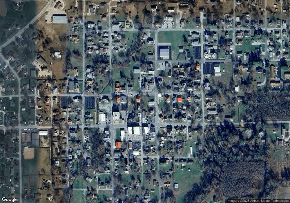
Map
Nearby Homes
- 312 E Sycamore St
- 217 E Sycamore St
- 503 E Bennett St
- 508 Deer Run
- 107 W Main St
- 506 E North St
- 1017 W Main St
- 3852 W Co Road 1100 S
- 0 W Co Rd 1100 S
- 11182 S County Road 280 W
- 3058 W Co Road 1100 S
- 11182 S Co Road 280 W
- 6440 W County Road 1300 S
- 7962 S State Road 3
- 6838 S Mill St
- 7530 N Base Rd
- 6255 E County Road 850 N
- 28 W Co Road 700 S
- 4944 S County Road 240 W
- 8950 N County Road 350 W
- 211 E Mulberry St
- 107 N Poplar St
- 105 N Poplar St
- 214 W Mulberry St
- 209 E Mulberry St
- 210 E Main St
- 207 E Mulberry St
- 208 E Mulberry St
- 302 E Main St
- o N Waterplant Rd
- 305 E Mulberry St
- 208 E Main St
- 206 E Mulberry St
- 204 E Mulberry St
- 202 N Poplar St
- 201 E Mulberry St
- 308 E Mulberry St
- 207 N Poplar St
- 306 E Main St
- 307 E Mulberry St