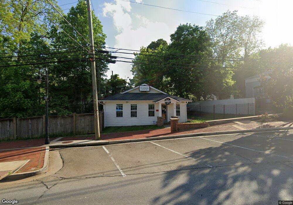
215 Gilmer Ferry Rd Ball Ground, GA 30107
Estimated Value: $283,854
2
Beds
4
Baths
1,200
Sq Ft
$237/Sq Ft
Est. Value
About This Home
This home is located at 215 Gilmer Ferry Rd, Ball Ground, GA 30107 and is currently estimated at $283,854, approximately $236 per square foot. 215 Gilmer Ferry Rd is a home located in Cherokee County with nearby schools including Ball Ground Elementary School, Creekland Middle School, and Creekview High School.
Ownership History
Date
Name
Owned For
Owner Type
Purchase Details
Closed on
May 3, 2019
Sold by
Parapet Properties Llc
Bought by
Marut Desere
Current Estimated Value
Home Financials for this Owner
Home Financials are based on the most recent Mortgage that was taken out on this home.
Original Mortgage
$135,150
Interest Rate
4%
Mortgage Type
New Conventional
Create a Home Valuation Report for This Property
The Home Valuation Report is an in-depth analysis detailing your home's value as well as a comparison with similar homes in the area
Home Values in the Area
Average Home Value in this Area
Purchase History
| Date | Buyer | Sale Price | Title Company |
|---|---|---|---|
| Marut Desere | $159,000 | -- |
Source: Public Records
Mortgage History
| Date | Status | Borrower | Loan Amount |
|---|---|---|---|
| Closed | Marut Desere | $135,150 |
Source: Public Records
Tax History Compared to Growth
Tax History
| Year | Tax Paid | Tax Assessment Tax Assessment Total Assessment is a certain percentage of the fair market value that is determined by local assessors to be the total taxable value of land and additions on the property. | Land | Improvement |
|---|---|---|---|---|
| 2024 | $3,982 | $133,080 | $108,320 | $24,760 |
| 2023 | $3,768 | $125,920 | $101,080 | $24,840 |
| 2022 | $1,073 | $35,520 | $12,520 | $23,000 |
| 2021 | $1,132 | $34,280 | $10,960 | $23,320 |
| 2020 | $1,112 | $33,280 | $10,960 | $22,320 |
| 2019 | $616 | $18,600 | $7,840 | $10,760 |
| 2018 | $614 | $18,280 | $7,840 | $10,440 |
| 2017 | $602 | $44,900 | $7,840 | $10,120 |
| 2016 | $602 | $44,200 | $7,840 | $9,840 |
| 2015 | $463 | $33,500 | $4,680 | $8,720 |
| 2014 | $461 | $33,100 | $4,680 | $8,560 |
Source: Public Records
Map
Nearby Homes
- 85 Tatum Cir
- 125 Stripling St
- 508 Old Canton Rd
- 256 Cartersville St
- 115 Dixie Ln
- 326 Reese Way
- The Dillard Plan at Malone’s Pond
- The Evans Plan at Malone’s Pond
- The Vinings Plan at Malone’s Pond
- The Brooks Plan at Malone’s Pond
- The Bainbridge Plan at Malone’s Pond
- The Ashburn Plan at Malone’s Pond
- The Trenton Plan at Malone’s Pond
- The Desoto Plan at Malone’s Pond
- 127 Mills Ln
- The Stratford Plan at The Heritage at Farmer's Crossing
- The Arlington Plan at The Heritage at Farmer's Crossing
- 533 Groover St
- 537 Groover St
- 553 Groover St
- 380 Old Canton Rd
- 382 Old Canton Rd
- 230 Gilmer Ferry Rd Unit A
- 230 Gilmer Ferry Rd Unit BLDG B
- 230 Gilmer Ferry (Bldg B) Rd
- 230 Gilmer Ferry (Bldg A) Rd
- 230 Gilmer Ferry Rd
- 220 Gilmer Ferry Rd
- 210 Gilmer Ferry Rd
- 185 A W Roberts Dr
- 240 Gilmer Ferry Rd Unit HWY 372
- 240 Gilmer Ferry Rd
- 260 Strippling St
- 367 Old Canton Rd
- 175 A W Roberts Dr
- 130 Church St
- 370 Old Canton Rd
- 103 Tatum Cir
- 245 Groover St
- 420 Old Canton Rd