Estimated Value: $421,000 - $448,171
--
Bed
--
Bath
1,145
Sq Ft
$380/Sq Ft
Est. Value
About This Home
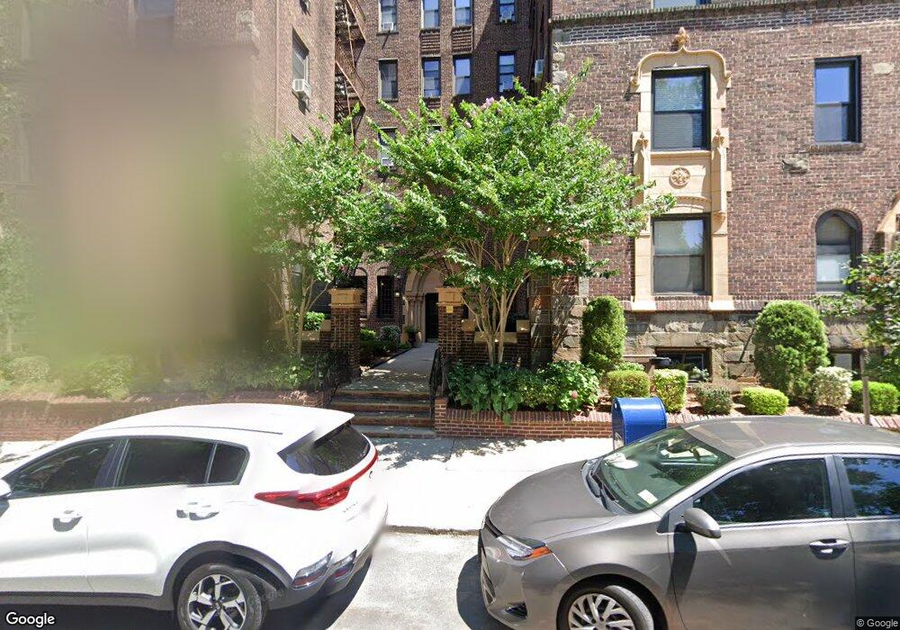
This home is located at 215 Hart Blvd Unit 6G, Staten Island, NY 10301 and is currently estimated at $435,293, approximately $380 per square foot. 215 Hart Blvd Unit 6G is a home located in Richmond County with nearby schools including P.S. 45 John Tyler, Is 61 William A Morris, and Curtis High School.
Ownership History
Date
Name
Owned For
Owner Type
Purchase Details
Closed on
May 23, 2011
Sold by
Peterson Kenneth
Bought by
Christian Mark
Current Estimated Value
Purchase Details
Closed on
Nov 4, 2004
Sold by
Maniscalco Doreen
Bought by
Peterson Kenneth
Home Financials for this Owner
Home Financials are based on the most recent Mortgage that was taken out on this home.
Original Mortgage
$74,900
Interest Rate
5.77%
Mortgage Type
Fannie Mae Freddie Mac
Create a Home Valuation Report for This Property
The Home Valuation Report is an in-depth analysis detailing your home's value as well as a comparison with similar homes in the area
Home Values in the Area
Average Home Value in this Area
Purchase History
| Date | Buyer | Sale Price | Title Company |
|---|---|---|---|
| Christian Mark | $249,000 | None Available | |
| Peterson Kenneth | $100,000 | First Amer Title Ins Co Ny |
Source: Public Records
Mortgage History
| Date | Status | Borrower | Loan Amount |
|---|---|---|---|
| Previous Owner | Peterson Kenneth | $74,900 |
Source: Public Records
Tax History Compared to Growth
Tax History
| Year | Tax Paid | Tax Assessment Tax Assessment Total Assessment is a certain percentage of the fair market value that is determined by local assessors to be the total taxable value of land and additions on the property. | Land | Improvement |
|---|---|---|---|---|
| 2025 | $5,617 | $54,509 | $1,593 | $52,916 |
| 2024 | $4,039 | $53,924 | $1,593 | $52,331 |
| 2023 | $3,776 | $42,815 | $1,593 | $41,222 |
| 2022 | $3,592 | $40,828 | $1,593 | $39,235 |
| 2021 | $4,657 | $37,960 | $1,593 | $36,367 |
| 2020 | $3,499 | $44,716 | $1,593 | $43,123 |
| 2019 | $6,201 | $43,356 | $1,593 | $41,763 |
| 2018 | $4,188 | $43,016 | $1,593 | $41,423 |
| 2017 | $3,837 | $33,181 | $1,593 | $31,588 |
| 2016 | $3,758 | $30,674 | $1,593 | $29,081 |
| 2015 | -- | $28,539 | $1,593 | $26,946 |
| 2014 | -- | $29,219 | $1,593 | $27,626 |
Source: Public Records
About This Building
Map
Nearby Homes
- 215 Hart Blvd Unit 3L
- 58-62 University Place
- 72 Gregg Place
- 372 Sharon Ave
- 112 Delafield Ave
- 776 Brighton Ave
- 54 City Blvd
- 171 Silver Lake Rd
- 605 Bard Ave
- 414 Castleton Ave
- 525 Castleton Ave Unit 1C
- 435 Castleton Ave
- 26 Valencia Ave
- 328 Stanley Ave
- 20 Baker Place
- 585 Castleton Ave Unit 1c
- 244 Delafield Ave
- 34 Harvest Ave
- 1 Sunset Hill Dr
- 100 Lawrence Ave
- 215 Hart Blvd Unit 5H
- 215 Hart Blvd Unit 5E
- 215 Hart Blvd Unit 5A
- 215 Hart Blvd Unit 6L
- 215 Hart Blvd Unit 6K
- 215 Hart Blvd Unit 6J
- 215 Hart Blvd Unit 6I
- 215 Hart Blvd Unit 6H
- 215 Hart Blvd Unit 6F
- 215 Hart Blvd Unit 6E
- 215 Hart Blvd Unit 6C
- 215 Hart Blvd Unit 6B
- 215 Hart Blvd Unit 6A
- 215 Hart Blvd Unit 5L
- 215 Hart Blvd Unit 5K
- 215 Hart Blvd Unit 5J
- 215 Hart Blvd Unit 5I
- 215 Hart Blvd Unit 5G
- 215 Hart Blvd Unit 5F
- 215 Hart Blvd Unit 5C