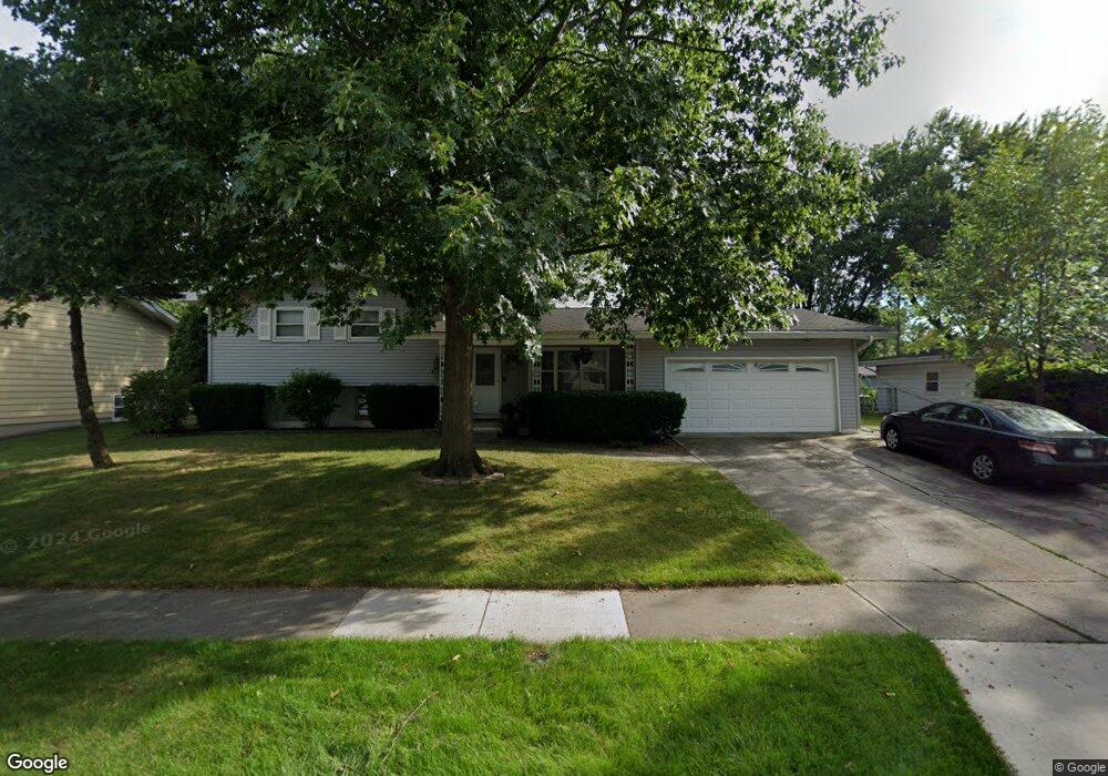
215 Las Olas Dr Crown Point, IN 46307
Estimated Value: $287,976 - $334,000
4
Beds
2
Baths
1,883
Sq Ft
$169/Sq Ft
Est. Value
About This Home
This home is located at 215 Las Olas Dr, Crown Point, IN 46307 and is currently estimated at $318,494, approximately $169 per square foot. 215 Las Olas Dr is a home located in Lake County with nearby schools including Dwight D. Eisenhower Elementary School, Robert Taft Middle School, and Crown Point High School.
Ownership History
Date
Name
Owned For
Owner Type
Purchase Details
Closed on
Oct 20, 2009
Sold by
Frahm Christopher A
Bought by
Frahm Christopher A and Frahm Mary A
Current Estimated Value
Home Financials for this Owner
Home Financials are based on the most recent Mortgage that was taken out on this home.
Original Mortgage
$129,600
Interest Rate
5.07%
Mortgage Type
New Conventional
Create a Home Valuation Report for This Property
The Home Valuation Report is an in-depth analysis detailing your home's value as well as a comparison with similar homes in the area
Home Values in the Area
Average Home Value in this Area
Purchase History
| Date | Buyer | Sale Price | Title Company |
|---|---|---|---|
| Frahm Christopher A | -- | Ticor Cp |
Source: Public Records
Mortgage History
| Date | Status | Borrower | Loan Amount |
|---|---|---|---|
| Closed | Frahm Christopher A | $129,600 |
Source: Public Records
Tax History Compared to Growth
Tax History
| Year | Tax Paid | Tax Assessment Tax Assessment Total Assessment is a certain percentage of the fair market value that is determined by local assessors to be the total taxable value of land and additions on the property. | Land | Improvement |
|---|---|---|---|---|
| 2024 | $5,862 | $235,800 | $36,400 | $199,400 |
| 2023 | $2,311 | $213,300 | $36,400 | $176,900 |
| 2022 | $2,294 | $208,200 | $36,400 | $171,800 |
| 2021 | $2,149 | $195,400 | $24,400 | $171,000 |
| 2020 | $2,123 | $193,200 | $24,400 | $168,800 |
| 2019 | $2,062 | $183,800 | $24,400 | $159,400 |
| 2018 | $2,169 | $177,600 | $24,400 | $153,200 |
| 2017 | $2,135 | $174,000 | $24,400 | $149,600 |
| 2016 | $2,142 | $172,200 | $24,400 | $147,800 |
| 2014 | $1,879 | $165,700 | $24,400 | $141,300 |
| 2013 | $1,956 | $169,000 | $24,400 | $144,600 |
Source: Public Records
Map
Nearby Homes
- 300 Omega Dr
- 425 Sherwood Dr
- 642 Omega Dr
- 1152 S Ridge St
- 924 W Crestview Ct
- 217 Crestview Ln
- 780 Williams Ct
- 801 Courtney Dr
- 1002 Gordon Ct
- 744 S Court St
- 991 Greenview Dr
- 244 Sawgrass Dr
- 246 Sawgrass Dr
- 248 Sawgrass Dr
- The Ganby Plan at Sawgrass
- The Monarch Plan at Sawgrass
- The Keystone Plan at Sawgrass
- The Breckenridge Plan at Sawgrass
- 622 E Brookside Dr
- 11498 Hancock Dr
- 219 Las Olas Dr
- 211 Las Olas Dr
- 302 Sherwood Dr
- 207 Las Olas Dr
- 303 Las Olas Dr
- 310 Sherwood Dr
- 220 Las Olas Dr
- 216 Las Olas Dr
- 214 Sherwood Dr
- 212 Las Olas Dr
- 304 Las Olas Dr
- 203 Las Olas Dr
- 307 Las Olas Dr
- 314 Sherwood Dr
- 208 Las Olas Dr
- 208 Sherwood Dr
- 308 Las Olas Dr
- 125 Las Olas Dr
- 221 Omega Dr
- 301 Sherwood Dr