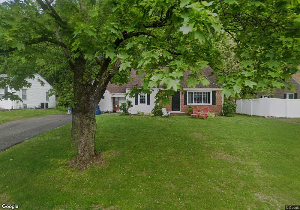
215 Laurel Rd West Springfield, MA 01089
Estimated Value: $343,264 - $360,000
3
Beds
2
Baths
1,206
Sq Ft
$289/Sq Ft
Est. Value
About This Home
This home is located at 215 Laurel Rd, West Springfield, MA 01089 and is currently estimated at $348,816, approximately $289 per square foot. 215 Laurel Rd is a home located in Hampden County with nearby schools including West Springfield High School and St Thomas The Apostle School.
Ownership History
Date
Name
Owned For
Owner Type
Purchase Details
Closed on
Jul 21, 2015
Sold by
Walker-Ray Carrie J
Bought by
Walker-Ray Carrie J and Walker-Ray Christopher T
Current Estimated Value
Home Financials for this Owner
Home Financials are based on the most recent Mortgage that was taken out on this home.
Original Mortgage
$171,000
Outstanding Balance
$133,429
Interest Rate
3.88%
Mortgage Type
New Conventional
Estimated Equity
$215,387
Purchase Details
Closed on
Jun 6, 2008
Sold by
Kwapien Thomas J and Kwapien Wendi Lee
Bought by
Walker-Ray Carrie J
Home Financials for this Owner
Home Financials are based on the most recent Mortgage that was taken out on this home.
Original Mortgage
$146,020
Interest Rate
6.11%
Mortgage Type
Purchase Money Mortgage
Purchase Details
Closed on
May 30, 2002
Sold by
Davidson James S and Davidson Lorraine N
Bought by
Kwapien Thomas J and Kwapien Wendi Lee
Home Financials for this Owner
Home Financials are based on the most recent Mortgage that was taken out on this home.
Original Mortgage
$136,322
Interest Rate
7%
Mortgage Type
Purchase Money Mortgage
Create a Home Valuation Report for This Property
The Home Valuation Report is an in-depth analysis detailing your home's value as well as a comparison with similar homes in the area
Home Values in the Area
Average Home Value in this Area
Purchase History
| Date | Buyer | Sale Price | Title Company |
|---|---|---|---|
| Walker-Ray Carrie J | -- | -- | |
| Walker-Ray Carrie J | $189,900 | -- | |
| Kwapien Thomas J | $137,400 | -- |
Source: Public Records
Mortgage History
| Date | Status | Borrower | Loan Amount |
|---|---|---|---|
| Open | Walker-Ray Carrie J | $171,000 | |
| Previous Owner | Walker-Ray Carrie J | $146,020 | |
| Previous Owner | Kwapien Thomas J | $136,322 | |
| Previous Owner | Kwapien Thomas J | $25,000 |
Source: Public Records
Tax History
| Year | Tax Paid | Tax Assessment Tax Assessment Total Assessment is a certain percentage of the fair market value that is determined by local assessors to be the total taxable value of land and additions on the property. | Land | Improvement |
|---|---|---|---|---|
| 2025 | $4,244 | $285,400 | $123,500 | $161,900 |
| 2024 | $4,245 | $286,600 | $123,500 | $163,100 |
| 2023 | $3,980 | $256,100 | $123,500 | $132,600 |
| 2022 | $3,726 | $236,400 | $112,200 | $124,200 |
| 2021 | $3,595 | $212,700 | $103,300 | $109,400 |
| 2020 | $3,595 | $211,600 | $103,300 | $108,300 |
| 2019 | $3,589 | $211,600 | $103,300 | $108,300 |
| 2018 | $3,608 | $211,600 | $103,300 | $108,300 |
| 2017 | $3,608 | $211,600 | $103,300 | $108,300 |
| 2016 | $3,565 | $209,800 | $99,300 | $110,500 |
| 2015 | $3,493 | $205,600 | $97,300 | $108,300 |
| 2014 | -- | $205,600 | $97,300 | $108,300 |
Source: Public Records
Map
Nearby Homes
Your Personal Tour Guide
Ask me questions while you tour the home.