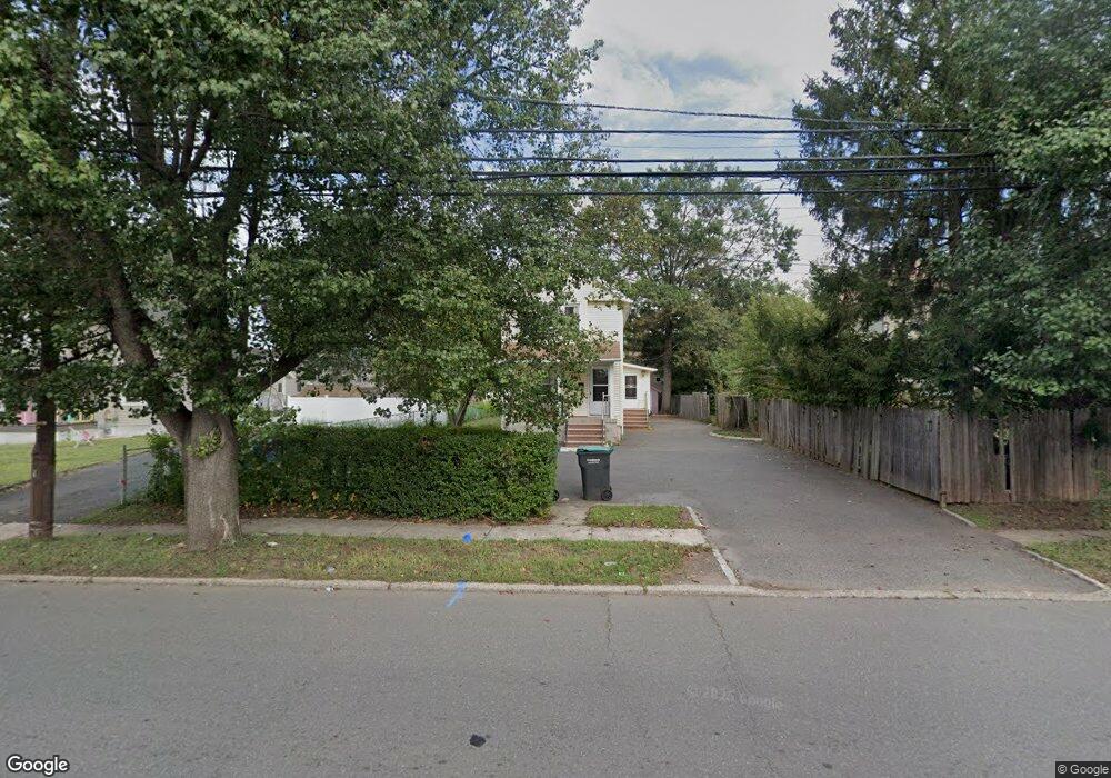
215 Lincoln Blvd Middlesex, NJ 08846
Estimated Value: $447,000 - $501,000
Studio
--
Bath
1,344
Sq Ft
$355/Sq Ft
Est. Value
About This Home
This home is located at 215 Lincoln Blvd, Middlesex, NJ 08846 and is currently estimated at $477,330, approximately $355 per square foot. 215 Lincoln Blvd is a home located in Middlesex County with nearby schools including Middlesex High School, Our Lady of Mount Virgin School, and Green Brook Academy.
Ownership History
Date
Name
Owned For
Owner Type
Purchase Details
Closed on
Jun 5, 2015
Sold by
Yywk Holdings Llc
Bought by
Feng Renming
Current Estimated Value
Purchase Details
Closed on
Jan 30, 2015
Sold by
Fannie Mae
Bought by
Yywk Holdings Llc
Purchase Details
Closed on
Dec 16, 2011
Sold by
Luksza Eugene C
Bought by
Federal National Mortgage Association
Purchase Details
Closed on
Jan 19, 2010
Sold by
Bigos Dorothy B and Bigos Robert
Bought by
Perez Janyll
Create a Home Valuation Report for This Property
The Home Valuation Report is an in-depth analysis detailing your home's value as well as a comparison with similar homes in the area
Home Values in the Area
Average Home Value in this Area
Purchase History
| Date | Buyer | Sale Price | Title Company |
|---|---|---|---|
| Feng Renming | $93,000 | Golden Title Agency | |
| Yywk Holdings Llc | $77,500 | Gold Crest Abstract | |
| Federal National Mortgage Association | -- | None Available | |
| Perez Janyll | $225,000 | None Available |
Source: Public Records
Tax History
| Year | Tax Paid | Tax Assessment Tax Assessment Total Assessment is a certain percentage of the fair market value that is determined by local assessors to be the total taxable value of land and additions on the property. | Land | Improvement |
|---|---|---|---|---|
| 2025 | $7,895 | $446,900 | $120,700 | $326,200 |
| 2024 | $7,517 | $341,200 | $120,700 | $220,500 |
Source: Public Records
Map
Nearby Homes
- 311 Chestnut St
- 216 Chestnut St
- 531 Chestnut St
- 303 Ashland Rd
- 116 Greene Ave
- 407 Clinton Ave
- 151 Beechwood Ave
- 112 East St
- 315 East St
- 105 Swing Bridge Ln Unit 1009
- 8 Swing Bridge Ln Unit 904
- 408 E Union Ave
- 134 Benart Place
- 589 Mountain Ave
- 101 Lorraine Ave
- 241 Cook Ave
- 328 John St
- 730 Park Ave
- 310 Howard Ave
- 306 Church St
Your Personal Tour Guide
Ask me questions while you tour the home.