Estimated Value: $510,949 - $580,000
4
Beds
3
Baths
3,034
Sq Ft
$176/Sq Ft
Est. Value
About This Home
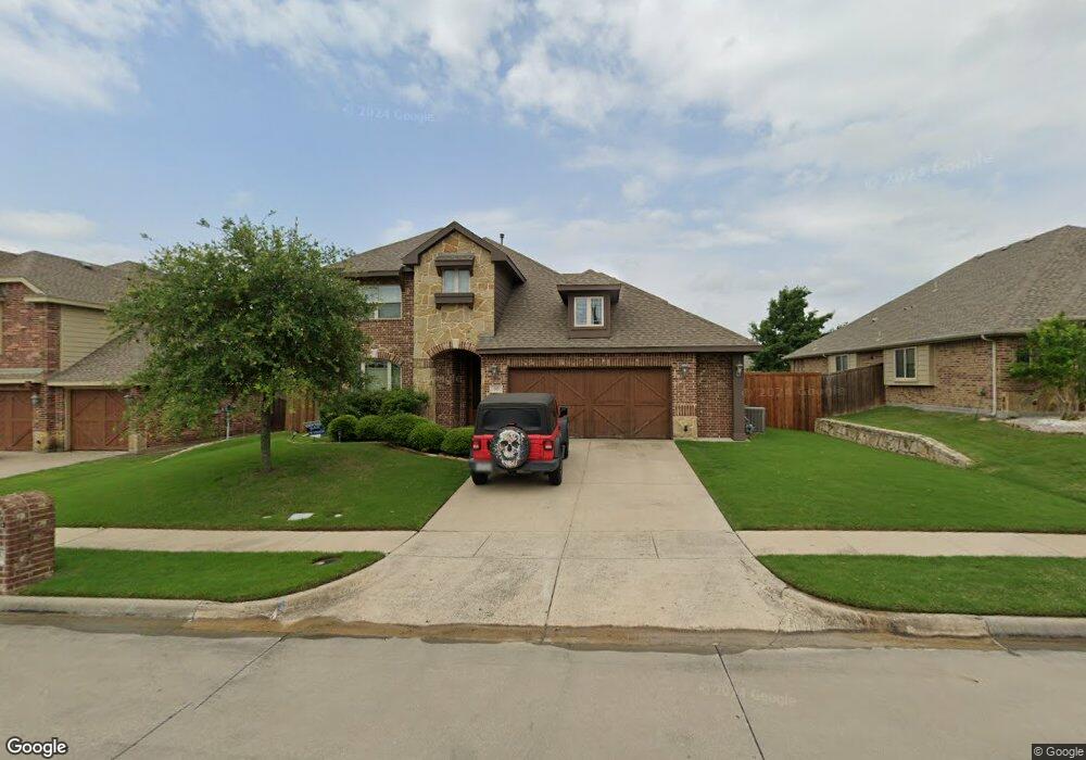
This home is located at 215 Lyndhurst Dr, Wylie, TX 75098 and is currently estimated at $532,987, approximately $175 per square foot. 215 Lyndhurst Dr is a home located in Collin County with nearby schools including P M Akin Elementary School, AB Harrison Intermediate School, and Grady Burnett J High School.
Ownership History
Date
Name
Owned For
Owner Type
Purchase Details
Closed on
May 23, 2014
Sold by
Bloomfield Homes Lp
Bought by
Schiefer Calvin and Schiefer Stephanie E
Current Estimated Value
Home Financials for this Owner
Home Financials are based on the most recent Mortgage that was taken out on this home.
Original Mortgage
$258,323
Outstanding Balance
$199,918
Interest Rate
4.75%
Mortgage Type
FHA
Estimated Equity
$333,069
Create a Home Valuation Report for This Property
The Home Valuation Report is an in-depth analysis detailing your home's value as well as a comparison with similar homes in the area
Home Values in the Area
Average Home Value in this Area
Purchase History
| Date | Buyer | Sale Price | Title Company |
|---|---|---|---|
| Schiefer Calvin | -- | Fatco |
Source: Public Records
Mortgage History
| Date | Status | Borrower | Loan Amount |
|---|---|---|---|
| Open | Schiefer Calvin | $258,323 |
Source: Public Records
Tax History Compared to Growth
Tax History
| Year | Tax Paid | Tax Assessment Tax Assessment Total Assessment is a certain percentage of the fair market value that is determined by local assessors to be the total taxable value of land and additions on the property. | Land | Improvement |
|---|---|---|---|---|
| 2025 | $10,151 | $508,978 | $130,000 | $378,978 |
| 2024 | $10,151 | $513,976 | $130,000 | $383,976 |
| 2023 | $10,151 | $503,421 | $110,000 | $393,421 |
| 2022 | $9,958 | $453,876 | $110,000 | $343,876 |
| 2021 | $8,874 | $377,149 | $80,000 | $297,149 |
| 2020 | $8,579 | $345,490 | $80,000 | $265,490 |
| 2019 | $9,461 | $360,021 | $80,000 | $280,021 |
| 2018 | $9,160 | $340,145 | $70,000 | $270,145 |
| 2017 | $8,941 | $331,984 | $70,000 | $261,984 |
| 2016 | $8,869 | $319,193 | $70,000 | $249,193 |
| 2015 | $867 | $292,532 | $70,000 | $222,532 |
Source: Public Records
Map
Nearby Homes
- 1209 Surrey Cir
- 1056 Fairview Dr
- 213 N West A Allen Blvd
- 409 Cedar Ridge Dr
- 306 Foxwood Ct
- 312 Maltese Cir
- 107 Windy Knoll Ln
- 304 Hawthorn Dr
- 825 Foxwood Ln
- 216 Cedar Ridge St
- 310 Hawthorn Dr
- 820 Foxwood Ln
- 1115 Nighthawk Dr
- 825 Forest Edge Ln
- 1201 E Stone Rd
- 104 Rushcreek Dr
- 114 Liberty Dr
- 811 Forest Edge Ln
- 407 Sparrow Dr
- 207 Spence Dr
- 213 Lyndhurst Dr
- 217 Lyndhurst Dr
- 208 Gatwick Ct
- 210 Gatwick Ct
- 219 Lyndhurst Dr
- 211 Lyndhurst Dr
- 206 Gatwick Ct
- 214 Lyndhurst Dr
- 216 Lyndhurst Dr
- 204 Gatwick Ct
- 212 Lyndhurst Dr
- 209 Lyndhurst Dr
- 221 Lyndhurst Dr
- 212 Gatwick Ct
- 210 Lyndhurst Dr
- 218 Lyndhurst Dr
- 202 Gatwick Ct
- 209 Gatwick Ct
- 220 Lyndhurst Dr
- 208 Lyndhurst Dr