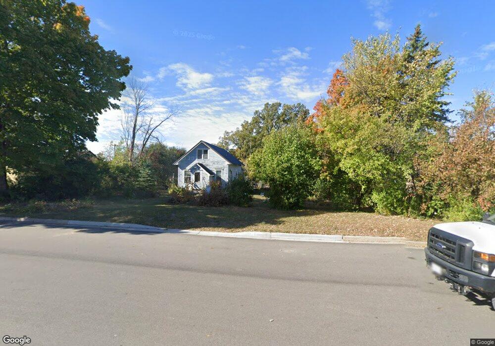
215 Main Ave Clearbrook, MN 56634
Estimated Value: $81,000 - $192,000
About This Home
This home is located at 215 Main Ave, Clearbrook, MN 56634 and is currently estimated at $157,023. 215 Main Ave is a home located in Clearwater County with nearby schools including Clearbrook-Gonvick Elementary School and Clearbrook-Gonvick Secondary School.
Ownership History
We collect this data history from publicly available records. To have your information removed, we recommend requesting removal directly through your county’s website.
Purchase Details
Home Financials for this Owner
Home Financials are based on the most recent Mortgage that was taken out on this home.Purchase History
We collect this data history from publicly available records. To have your information removed, we recommend requesting removal directly through your county’s website.
| Date | Buyer | Sale Price | Title Company |
|---|---|---|---|
| $90,000 | -- |
Mortgage History
We collect this data history from publicly available records. To have your information removed, we recommend requesting removal directly through your county’s website.
| Date | Status | Borrower | Loan Amount |
|---|---|---|---|
| Open | $89,800 |
Tax History
We collect this data history from publicly available records. To have your information removed, we recommend requesting removal directly through your county’s website.
| Year | Tax Paid | Tax Assessment Tax Assessment Total Assessment is a certain percentage of the fair market value that is determined by local assessors to be the total taxable value of land and additions on the property. | Land | Improvement |
|---|---|---|---|---|
| 2025 | $90 | $152,900 | $11,600 | $141,300 |
| 2024 | $90 | $154,800 | $11,600 | $143,200 |
| 2023 | $90 | $138,500 | $11,600 | $126,900 |
| 2022 | $90 | $133,100 | $11,600 | $121,500 |
| 2021 | $1,436 | $110,200 | $10,800 | $99,400 |
| 2020 | $1,522 | $94,800 | $8,500 | $86,300 |
| 2019 | $1,328 | $90,700 | $8,000 | $82,700 |
| 2018 | $1,342 | $90,700 | $8,000 | $82,700 |
| 2017 | $1,322 | $89,700 | $8,000 | $81,700 |
| 2016 | $1,352 | $85,300 | $7,700 | $77,600 |
| 2015 | $1,328 | $0 | $0 | $0 |
| 2014 | $1,486 | $0 | $0 | $0 |
Map
- 212 Lake Ave NE
- 50229 169th Ave
- 13076 Pine Vista Dr
- 49954 209th Ave
- 214 Oak St
- TBD 460th St
- 0 Tbd 460th St Unit 26817667
- Tbd Hwy 92
- TBD Hwy 92
- 49404 109th Ave
- 35918 410th Ave SE
- 41721 County 2
- 40193 290th St SE
- TBD S Main St
- 39452 380th St SE
- 37616 390th Ave SE
- 202 Lomond Dr NW
- TBD U S Highway 2
- Ooo Hwy 2
- 26297 President Dr NW
Ask me questions while you tour the home.