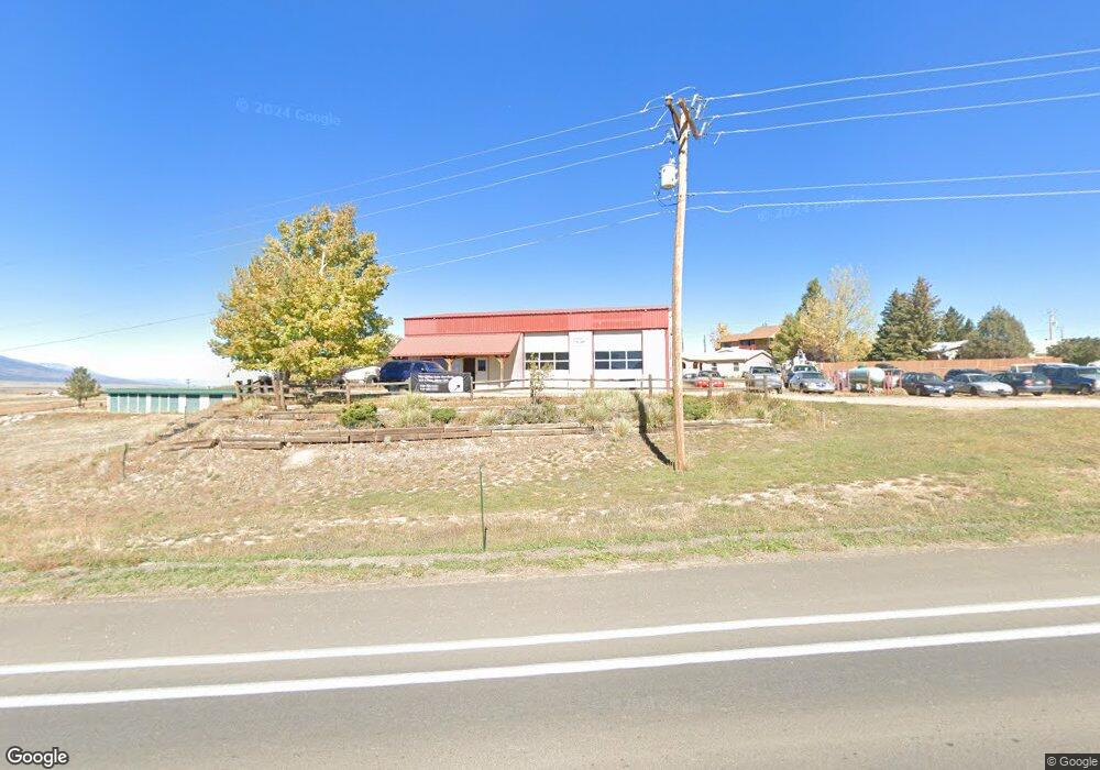
215 Main St Westcliffe, CO 81252
Estimated Value: $496,500
Studio
--
Bath
2,515
Sq Ft
$197/Sq Ft
Est. Value
About This Home
This home is located at 215 Main St, Westcliffe, CO 81252 and is currently priced at $496,500, approximately $197 per square foot. 215 Main St is a home located in Custer County with nearby schools including Custer County Elementary School, Custer Middle School, and Custer County High School.
Ownership History
Date
Name
Owned For
Owner Type
Purchase Details
Closed on
Dec 14, 2015
Sold by
Boyd Alison P
Bought by
Alison Boyd Revocable Trust
Current Estimated Value
Purchase Details
Closed on
Oct 14, 2003
Sold by
Mckay Ronald and Mckay Susan
Bought by
Boyd Alison P
Purchase Details
Closed on
Aug 10, 1994
Sold by
Bordelon Philip and Bordelon Maria
Bought by
Mckaye Ronald and Mckaye Susan
Purchase Details
Closed on
Mar 26, 1991
Sold by
Minnequa Works Federal Credit Union
Bought by
Bordelon Philip and Bordelon Maria
Create a Home Valuation Report for This Property
The Home Valuation Report is an in-depth analysis detailing your home's value as well as a comparison with similar homes in the area
Home Values in the Area
Average Home Value in this Area
Purchase History
| Date | Buyer | Sale Price | Title Company |
|---|---|---|---|
| Alison Boyd Revocable Trust | -- | None Available | |
| Boyd Alison P | $185,000 | -- | |
| Mckaye Ronald | $90,000 | -- | |
| Bordelon Philip | $53,500 | -- |
Source: Public Records
Tax History
| Year | Tax Paid | Tax Assessment Tax Assessment Total Assessment is a certain percentage of the fair market value that is determined by local assessors to be the total taxable value of land and additions on the property. | Land | Improvement |
|---|---|---|---|---|
| 2025 | $4,355 | $97,210 | $0 | $0 |
| 2024 | $4,355 | $70,231 | $0 | $0 |
| 2023 | $4,355 | $70,230 | $0 | $0 |
| 2022 | $4,713 | $63,410 | $7,250 | $56,160 |
| 2021 | $4,690 | $63,410 | $7,250 | $56,160 |
| 2020 | $4,513 | $61,570 | $7,250 | $54,320 |
| 2019 | $4,492 | $61,570 | $7,250 | $54,320 |
| 2018 | $4,409 | $60,120 | $5,800 | $54,320 |
| 2017 | $4,289 | $60,122 | $5,800 | $54,322 |
| 2016 | $4,135 | $60,030 | $5,800 | $54,230 |
| 2015 | $4,140 | $207,014 | $20,000 | $187,014 |
| 2012 | $3,692 | $181,571 | $20,000 | $161,571 |
Source: Public Records
Map
Nearby Homes
- 000 Hwy 96
- 000 Hwy 96 Unit 12
- TBD Summit Ave
- 201 Summit St
- 207 Summit Ave
- 211 Summit St
- Lot 1-16 Wood St
- TBD Wood St
- 220 Cliff St
- 222 Cliff St Unit 5A
- 222 Cliff St Unit 3A
- 222 Cliff St Unit 4A
- 222 Cliff St
- 321 Summit St
- 100 Silver Franklin St
- 100 Franklin St
- 1A Cliff St
- 1 Cliff Dwelling
- 110 E Main St
- 105 Main St
Your Personal Tour Guide
Ask me questions while you tour the home.