215 Marbrook Trace Oxford, GA 30054
Estimated Value: $288,619 - $308,000
4
Beds
3
Baths
1,395
Sq Ft
$212/Sq Ft
Est. Value
About This Home
This home is located at 215 Marbrook Trace, Oxford, GA 30054 and is currently estimated at $295,155, approximately $211 per square foot. 215 Marbrook Trace is a home located in Newton County with nearby schools including Flint Hill Elementary School, Cousins Middle School, and Newton High School.
Ownership History
Date
Name
Owned For
Owner Type
Purchase Details
Closed on
Sep 4, 2018
Sold by
Yoder Brian Allen
Bought by
Farley Lee M and Farley Brittany N
Current Estimated Value
Home Financials for this Owner
Home Financials are based on the most recent Mortgage that was taken out on this home.
Original Mortgage
$163,000
Outstanding Balance
$140,968
Interest Rate
4.5%
Estimated Equity
$154,187
Purchase Details
Closed on
Feb 3, 2011
Sold by
Self-Help Ventures Fnd
Bought by
Yoder Brian A
Home Financials for this Owner
Home Financials are based on the most recent Mortgage that was taken out on this home.
Original Mortgage
$80,829
Interest Rate
4.99%
Mortgage Type
New Conventional
Purchase Details
Closed on
Sep 8, 2010
Sold by
Whilby Angella
Bought by
Self-Help Ventures Fnd
Purchase Details
Closed on
Oct 26, 2007
Sold by
Southfork Hms Inc
Bought by
Whilby Angella
Home Financials for this Owner
Home Financials are based on the most recent Mortgage that was taken out on this home.
Original Mortgage
$135,900
Interest Rate
6.26%
Mortgage Type
New Conventional
Purchase Details
Closed on
May 23, 2007
Sold by
B-S Invest Props Inc
Bought by
Southfork Hms Inc
Create a Home Valuation Report for This Property
The Home Valuation Report is an in-depth analysis detailing your home's value as well as a comparison with similar homes in the area
Home Values in the Area
Average Home Value in this Area
Purchase History
| Date | Buyer | Sale Price | Title Company |
|---|---|---|---|
| Farley Lee M | $163,000 | -- | |
| Yoder Brian A | $78,000 | -- | |
| Self-Help Ventures Fnd | $98,750 | -- | |
| Whilby Angella | $135,900 | -- | |
| Southfork Hms Inc | $66,700 | -- |
Source: Public Records
Mortgage History
| Date | Status | Borrower | Loan Amount |
|---|---|---|---|
| Open | Farley Lee M | $163,000 | |
| Previous Owner | Yoder Brian A | $80,829 | |
| Previous Owner | Whilby Angella | $135,900 |
Source: Public Records
Tax History
| Year | Tax Paid | Tax Assessment Tax Assessment Total Assessment is a certain percentage of the fair market value that is determined by local assessors to be the total taxable value of land and additions on the property. | Land | Improvement |
|---|---|---|---|---|
| 2025 | $20 | $117,520 | $18,000 | $99,520 |
| 2024 | $20 | $110,840 | $18,000 | $92,840 |
| 2023 | $20 | $98,840 | $7,600 | $91,240 |
| 2022 | $20 | $74,320 | $7,600 | $66,720 |
| 2021 | $20 | $72,800 | $7,600 | $65,200 |
| 2020 | $21 | $61,960 | $7,600 | $54,360 |
| 2019 | $2,095 | $64,720 | $7,600 | $57,120 |
| 2018 | $902 | $51,960 | $7,600 | $44,360 |
| 2017 | $1,750 | $50,360 | $7,600 | $42,760 |
| 2016 | $1,394 | $40,000 | $5,000 | $35,000 |
| 2015 | $1,094 | $31,240 | $5,000 | $26,240 |
| 2014 | $867 | $24,720 | $0 | $0 |
Source: Public Records
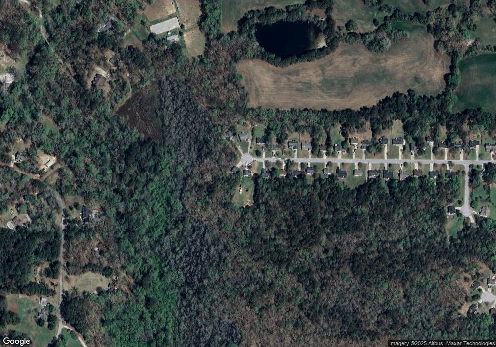
Map
Nearby Homes
- 1830 Mount Zion Rd
- 285 Dial Mill Rd
- 60 Hickory Hill Dr
- 2804 Mount Zion Rd
- 2538 Mount Zion Rd
- 1487 Mount Zion Rd
- 2995 Gum Creek Rd
- 175 Sidney Lanier Dr
- 20 Richmond Trail
- 20 Landcaster Place
- 2528 Stream View Dr
- 2524 Stream View Dr
- 50 Crabapple Ridge Dr
- 3961 Dial Mill Rd NE
- 0 Kent Rock Rd Unit CL346488
- 0 Kent Rock Rd Unit 10669364
- 0 Kent Rock Rd Unit 25994972
- 95 Grassy Springs Ct
- 110 Northwood Creek Way
- 2040 Costley Mill Rd NE
- 225 Marbrook Trace
- 205 Marbrook Trace
- 195 Marbrook Trace
- 200 Marbrook Trace Unit 31
- 200 Marbrook Trace
- 230 Marbrook Trace
- 210 Marbrook Trace
- 210 Marbrook Trace Unit 32
- 220 Marbrook Trace
- 185 Marbrook Trace
- 190 Marbrook Trace
- 175 Marbrook Trace
- 175 Marbrook Trace Unit 2
- 180 Marbrook Trace
- 165 Marbrook Trace Unit 41
- 165 Marbrook Trace
- 170 Marbrook Trace
- 160 Marbrook Trace Unit 27
- 160 Marbrook Trace
- 155 Marbrook Trace
Your Personal Tour Guide
Ask me questions while you tour the home.