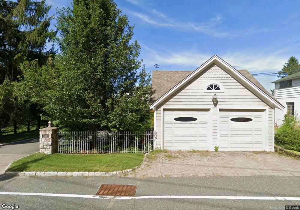
215 Maxim Dr Hopatcong, NJ 07843
Estimated Value: $1,107,000 - $1,592,026
--
Bed
--
Bath
3,506
Sq Ft
$387/Sq Ft
Est. Value
About This Home
This home is located at 215 Maxim Dr, Hopatcong, NJ 07843 and is currently estimated at $1,355,257, approximately $386 per square foot. 215 Maxim Dr is a home located in Sussex County with nearby schools including Hudson Maxim Elementary School, Durban Avenue Elementary School, and Tulsa Trail Elementary School.
Create a Home Valuation Report for This Property
The Home Valuation Report is an in-depth analysis detailing your home's value as well as a comparison with similar homes in the area
Home Values in the Area
Average Home Value in this Area
Tax History Compared to Growth
Tax History
| Year | Tax Paid | Tax Assessment Tax Assessment Total Assessment is a certain percentage of the fair market value that is determined by local assessors to be the total taxable value of land and additions on the property. | Land | Improvement |
|---|---|---|---|---|
| 2025 | $30,687 | $1,471,800 | $421,600 | $1,050,200 |
| 2024 | $30,280 | $1,471,800 | $421,600 | $1,050,200 |
| 2023 | $30,280 | $865,400 | $269,100 | $596,300 |
| 2022 | $29,683 | $865,400 | $269,100 | $596,300 |
| 2021 | $29,181 | $865,400 | $269,100 | $596,300 |
| 2020 | $28,878 | $865,400 | $269,100 | $596,300 |
| 2019 | $28,757 | $865,400 | $269,100 | $596,300 |
| 2018 | $28,697 | $865,400 | $269,100 | $596,300 |
| 2017 | $28,653 | $865,400 | $269,100 | $596,300 |
| 2016 | $28,714 | $865,400 | $269,100 | $596,300 |
| 2015 | $28,065 | $865,400 | $269,100 | $596,300 |
| 2014 | $27,970 | $865,400 | $269,100 | $596,300 |
Source: Public Records
Map
Nearby Homes
- 208 Maxim Dr
- 131 Maxim Dr
- 18 Sutton Rd
- 14 Marshall Trail
- 35 Fordham Trail
- 6 Bonaparte
- 46 Oklahoma Trail
- 26 Bayview Ave
- 656 Lakeside Ave
- 318 Squaw Trail
- 4 Kansas Way
- 58 Raccoon Island Rd
- 4 Mohawk Trail
- 4 Bear Pond Trail
- 6 Bonaparte Point Rd
- 56 Raccoon Island Rd
- 23 Fordham Trail
- 12 Adelphi Trail
- 354 Maxim Dr
- 34 Oklahoma Trail