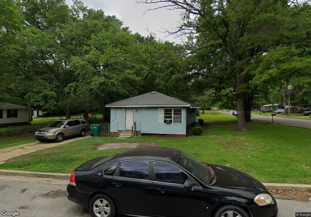
215 Maynard Dr Tupelo, MI 38801
Thomas Street NeighborhoodEstimated Value: $83,000 - $135,000
2
Beds
3
Baths
1,337
Sq Ft
$83/Sq Ft
Est. Value
About This Home
This home is located at 215 Maynard Dr, Tupelo, MI 38801 and is currently estimated at $111,533, approximately $83 per square foot. 215 Maynard Dr is a home located in Lee County with nearby schools including Thomas Street Elementary School, Pierce Street Elementary School, and Tupelo Middle School.
Ownership History
Date
Name
Owned For
Owner Type
Purchase Details
Closed on
Jul 31, 2020
Sold by
First American National Bank
Bought by
Michael Fant Llc
Current Estimated Value
Home Financials for this Owner
Home Financials are based on the most recent Mortgage that was taken out on this home.
Original Mortgage
$45,540
Interest Rate
2.8%
Mortgage Type
Unknown
Purchase Details
Closed on
Jan 22, 2020
Bought by
Fant Michael Llc
Purchase Details
Closed on
Dec 29, 2011
Sold by
Bna Bank
Bought by
Darden Robert W
Home Financials for this Owner
Home Financials are based on the most recent Mortgage that was taken out on this home.
Original Mortgage
$51,069
Interest Rate
4.06%
Purchase Details
Closed on
Dec 13, 2007
Sold by
City Of Tupelo
Bought by
Neighborhood Development Corp
Create a Home Valuation Report for This Property
The Home Valuation Report is an in-depth analysis detailing your home's value as well as a comparison with similar homes in the area
Home Values in the Area
Average Home Value in this Area
Purchase History
| Date | Buyer | Sale Price | Title Company |
|---|---|---|---|
| Michael Fant Llc | -- | None Available | |
| Fant Michael Llc | $48,947 | -- | |
| Darden Robert W | -- | -- | |
| Neighborhood Development Corp | -- | -- |
Source: Public Records
Mortgage History
| Date | Status | Borrower | Loan Amount |
|---|---|---|---|
| Closed | Michael Fant Llc | $45,540 | |
| Previous Owner | Darden Robert W | $51,069 |
Source: Public Records
Tax History
| Year | Tax Paid | Tax Assessment Tax Assessment Total Assessment is a certain percentage of the fair market value that is determined by local assessors to be the total taxable value of land and additions on the property. | Land | Improvement |
|---|---|---|---|---|
| 2025 | $1,361 | $10,010 | $0 | $0 |
| 2024 | $1,361 | $10,010 | $0 | $0 |
| 2023 | $1,183 | $8,841 | $0 | $0 |
| 2022 | $1,183 | $8,841 | $0 | $0 |
| 2021 | $1,183 | $8,841 | $0 | $0 |
| 2020 | $1,183 | $8,841 | $0 | $0 |
| 2019 | $1,145 | $8,553 | $0 | $0 |
| 2018 | $1,145 | $8,553 | $0 | $0 |
| 2017 | $1,140 | $8,553 | $0 | $0 |
| 2016 | $1,140 | $8,553 | $0 | $0 |
| 2015 | $1,040 | $7,832 | $0 | $0 |
| 2014 | $1,040 | $7,832 | $0 | $0 |
Source: Public Records
Map
Nearby Homes
- 214 Nanney Dr
- 2306 Woods St
- 401 S Foster Dr
- 219 Lakeview Dr
- 405 S Foster Dr
- 123 Enoch Ave
- 610 Trout St
- 1603 Boggan Dr
- 302 Hillfield Cove
- 1527 Boggan Dr
- 503 S Thomas St
- 1523 Boggan Dr
- 2404 Crestwood Dr
- 2604 Ewell Ave
- 2700 W Main St
- 404 Smith St
- 400 Smith St
- 106 Wildwood Cir
- 2516 Hampton Ave
- 105 Yosemite Cir
- 215 Maynard Dr
- 209 Maynard Dr
- 209 Maynard Dr
- 2304 Meadowview Dr
- 2304 Meadowview Dr
- 301 Maynard Dr
- 210 Maynard Dr
- 2303 Meadowview Dr
- 208 Maynard Dr
- 2306 Meadowview Dr
- 206 Maynard Dr
- 302 Maynard Dr
- 206 Maynard Dr
- 348 Maynard Dr
- 303 Maynard Dr
- 2305 Meadowview Dr
- 303 Maynard Dr
- 2305 Meadowview Dr
- 2308 Meadowview Dr
- 204 Maynard Dr
Your Personal Tour Guide
Ask me questions while you tour the home.