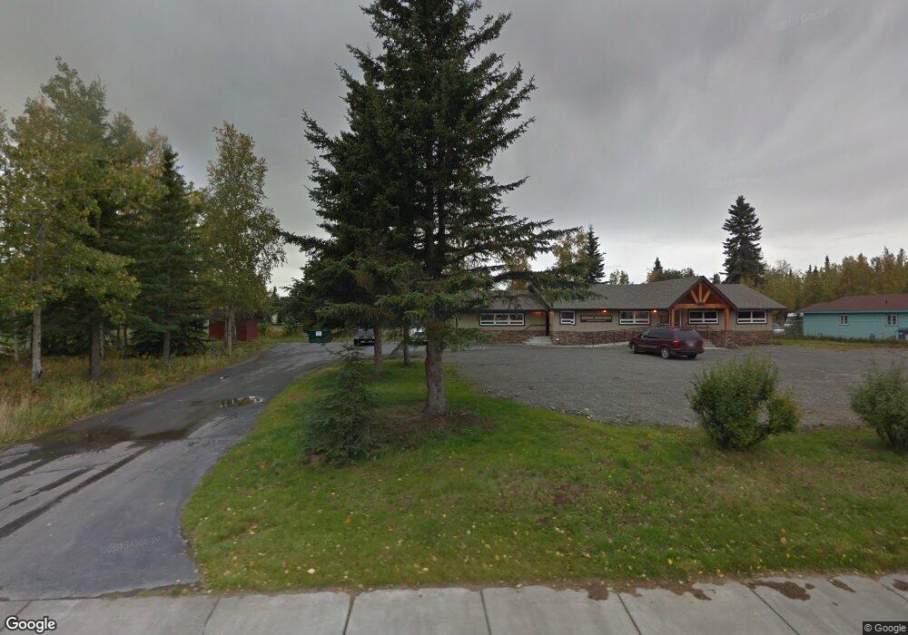
215 N Fireweed St Soldotna, AK 99669
Estimated Value: $391,210
6
Beds
3
Baths
3,006
Sq Ft
$130/Sq Ft
Est. Value
About This Home
This home is located at 215 N Fireweed St, Soldotna, AK 99669 and is currently estimated at $391,210, approximately $130 per square foot. 215 N Fireweed St is a home located in Kenai Peninsula Borough with nearby schools including Redoubt Elementary School, Skyview Middle School, and Soldotna High School.
Ownership History
Date
Name
Owned For
Owner Type
Purchase Details
Closed on
Jan 29, 2014
Sold by
Guinn George C O and Guinn Shelly O
Bought by
Guinn Eric Clifford O and Guinn Lisa Marie O
Current Estimated Value
Home Financials for this Owner
Home Financials are based on the most recent Mortgage that was taken out on this home.
Original Mortgage
$435,420
Outstanding Balance
$296,175
Interest Rate
4.45%
Mortgage Type
Commercial
Estimated Equity
$95,035
Purchase Details
Closed on
Mar 24, 2009
Sold by
Pope Brian J
Bought by
Oguinn George C and Oguinn Shelley
Create a Home Valuation Report for This Property
The Home Valuation Report is an in-depth analysis detailing your home's value as well as a comparison with similar homes in the area
Home Values in the Area
Average Home Value in this Area
Purchase History
| Date | Buyer | Sale Price | Title Company |
|---|---|---|---|
| Guinn Eric Clifford O | -- | First American Title Ins Co | |
| Oguinn George C | -- | None Available |
Source: Public Records
Mortgage History
| Date | Status | Borrower | Loan Amount |
|---|---|---|---|
| Open | Guinn Eric Clifford O | $435,420 |
Source: Public Records
Tax History Compared to Growth
Tax History
| Year | Tax Paid | Tax Assessment Tax Assessment Total Assessment is a certain percentage of the fair market value that is determined by local assessors to be the total taxable value of land and additions on the property. | Land | Improvement |
|---|---|---|---|---|
| 2025 | $2,662 | $329,000 | $67,200 | $261,800 |
| 2024 | $2,662 | $331,900 | $66,800 | $265,100 |
| 2023 | $2,817 | $351,300 | $66,800 | $284,500 |
| 2022 | $2,736 | $348,100 | $66,800 | $281,300 |
| 2021 | $2,599 | $329,400 | $72,400 | $257,000 |
| 2020 | $2,516 | $312,200 | $72,400 | $239,800 |
| 2019 | $2,568 | $318,600 | $65,800 | $252,800 |
| 2018 | $2,599 | $322,500 | $65,800 | $256,700 |
| 2017 | $2,441 | $320,700 | $65,800 | $254,900 |
| 2016 | $2,508 | $324,500 | $65,800 | $258,700 |
| 2015 | $2,265 | $331,500 | $65,800 | $265,700 |
| 2014 | $2,265 | $335,200 | $65,800 | $269,400 |
Source: Public Records
Map
Nearby Homes
- 265 Charity Cir
- 256 Upper Rosian Dr
- 253 Upper Rosian Dr
- 169 N Brentwood St
- L42 N Aspen Dr
- 235 N Aspen Dr
- 150 S Leibrock St
- 386 W Corral Ave
- 190 Trumpeter Ave
- 327 Knight Dr
- L1 Kenai Spur Hwy
- 35839 Irons Ave
- 228 Stacy Dr
- 35841 Irons Ave
- 287 Stacy Dr
- 35870 Glory St
- 35868 Everwell Place
- 35856 Everwell Place
- 35840 Everwell Place
- L5 Farnsworth Blvd
- 218 W Corral St
- 218 W Corral Ave
- 209 W Katmai Ave
- 219 W Katmai Ave
- 197 W Corral Ave
- 195 Fireweed St
- 225 W Katmai Ave
- 3 Lots Corral
- 230 W Corral Ave
- 198 W Corral Ave
- 198 W Corral St
- L2 Corral Ave
- 207 W Corral Ave
- 215 W Corral Ave
- 229 W Katmai Ave
- 219 W Corral Ave
- 189 W Corral Ave
- 190 W Corral Ave
- 236 W Corral Ave
- 235 W Katmai Ave