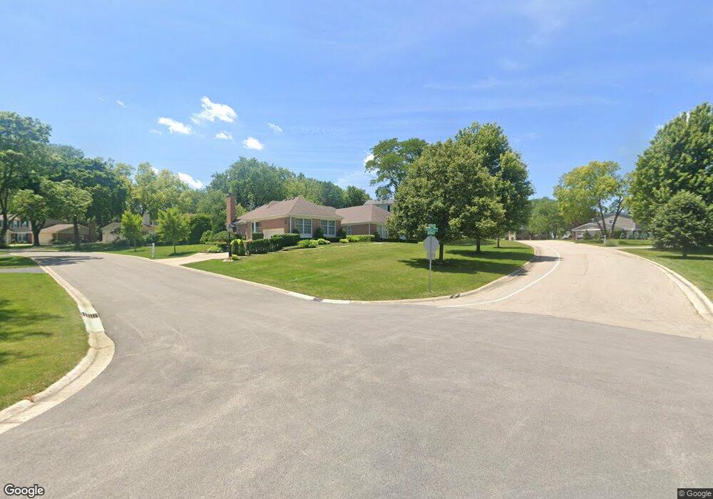
215 N Oak Ridge Rd Barrington, IL 60010
Wynstone NeighborhoodEstimated Value: $368,772 - $477,000
--
Bed
1
Bath
861
Sq Ft
$480/Sq Ft
Est. Value
About This Home
This home is located at 215 N Oak Ridge Rd, Barrington, IL 60010 and is currently estimated at $413,693, approximately $480 per square foot. 215 N Oak Ridge Rd is a home located in Lake County with nearby schools including North Barrington Elementary School, Barrington Middle School Station Campus, and Barrington High School.
Ownership History
Date
Name
Owned For
Owner Type
Purchase Details
Closed on
Aug 29, 2015
Sold by
Esposito John and Esposito Peggy
Bought by
Peplinski Cedar Llc
Current Estimated Value
Purchase Details
Closed on
Aug 29, 2012
Sold by
Mcgrath Adrienne S
Bought by
Esposito John and Esposito Peggy
Purchase Details
Closed on
Jul 27, 2004
Sold by
Mcgrath Adrienne S
Bought by
Mcgrath Adrienne S
Create a Home Valuation Report for This Property
The Home Valuation Report is an in-depth analysis detailing your home's value as well as a comparison with similar homes in the area
Home Values in the Area
Average Home Value in this Area
Purchase History
| Date | Buyer | Sale Price | Title Company |
|---|---|---|---|
| Peplinski Cedar Llc | $200,000 | First American Title Company | |
| Esposito John | $122,879 | First American Title | |
| Mcgrath Adrienne S | -- | -- |
Source: Public Records
Tax History Compared to Growth
Tax History
| Year | Tax Paid | Tax Assessment Tax Assessment Total Assessment is a certain percentage of the fair market value that is determined by local assessors to be the total taxable value of land and additions on the property. | Land | Improvement |
|---|---|---|---|---|
| 2024 | $7,700 | $110,087 | $52,653 | $57,434 |
| 2023 | $7,332 | $105,570 | $49,908 | $55,662 |
| 2022 | $7,332 | $100,534 | $56,462 | $44,072 |
| 2021 | $7,240 | $98,825 | $55,502 | $43,323 |
| 2020 | $7,066 | $98,519 | $55,330 | $43,189 |
| 2019 | $6,791 | $95,919 | $53,870 | $42,049 |
| 2018 | $6,875 | $99,874 | $57,078 | $42,796 |
| 2017 | $6,801 | $97,867 | $55,931 | $41,936 |
| 2016 | $6,653 | $94,175 | $53,821 | $40,354 |
| 2015 | $6,352 | $88,327 | $50,479 | $37,848 |
| 2014 | $6,604 | $88,334 | $50,635 | $37,699 |
| 2012 | $6,437 | $89,852 | $51,505 | $38,347 |
Source: Public Records
Map
Nearby Homes
- 115 Red Wing Ln
- 96 S Wynstone Dr
- 83 S Wynstone Dr
- 35 Riderwood Rd
- 1 Kensington Dr
- 431 E Oakwood Dr
- 431 Maplewood Dr
- 12 Riderwood Rd
- 47 S Wynstone Dr
- 39 Deverell Dr
- 132 N Wynstone Dr Unit W
- 15 S Wynstone Dr
- 729 Old Barn Rd Unit C
- 24334 N Grandview Dr
- 660 Old Barn Rd Unit F-24
- 535 Woodview Rd
- 25171 N Virginia Ave
- 111 Stone Marsh Ln
- 68 Thornhill Ln
- 220 Thornhill Ct Unit D
- 225 N Oak Ridge Rd
- 205 N Oak Ridge Rd
- 380 Maplewood Dr
- 105 Redwing Ln
- 390 Maplewood Dr
- 115 Redwing Ln
- 69 Timberlake Pkwy
- 202 N Oakridge Rd
- 58 Hillburn Ln
- 100 Redwing Ln
- 56 Hillburn Ln
- 59 Hillburn Ln
- 385 Maplewood Dr
- 110 Redwing Ln
- 25285 Timberlake Pkwy
- 120 Redwing Ln
- 375 Maplewood Dr
- 375 Maplewood Dr
- 409 E Oakwood Dr
- 54 Hillburn Ln