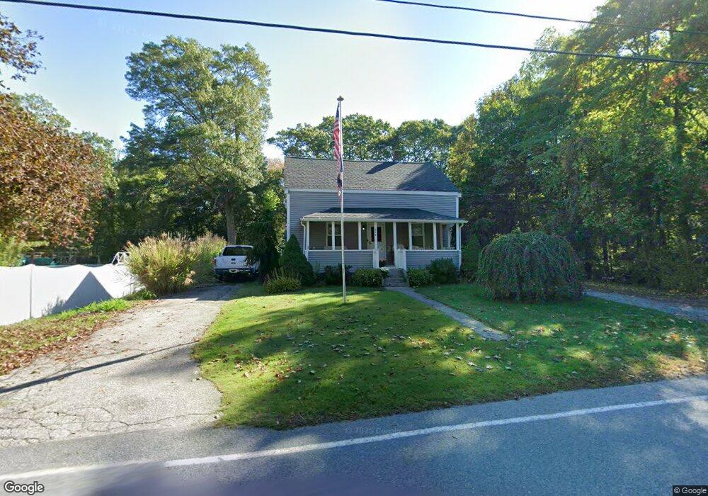
215 New St Rehoboth, MA 02769
Estimated Value: $403,000 - $637,000
3
Beds
2
Baths
1,610
Sq Ft
$318/Sq Ft
Est. Value
About This Home
This home is located at 215 New St, Rehoboth, MA 02769 and is currently estimated at $512,724, approximately $318 per square foot. 215 New St is a home located in Bristol County with nearby schools including Dighton-Rehoboth Regional High School and Cedar Brook School.
Ownership History
Date
Name
Owned For
Owner Type
Purchase Details
Closed on
Feb 16, 2021
Sold by
Perry Kimberly A
Bought by
Perry Adam and Perry Kimberly A
Current Estimated Value
Home Financials for this Owner
Home Financials are based on the most recent Mortgage that was taken out on this home.
Original Mortgage
$152,000
Outstanding Balance
$122,944
Interest Rate
2.7%
Mortgage Type
New Conventional
Estimated Equity
$389,780
Purchase Details
Closed on
Jul 14, 2008
Sold by
Cabral Louise A and Ohara Sandra M
Bought by
Perry Adam J and Hallal Kimberly A
Home Financials for this Owner
Home Financials are based on the most recent Mortgage that was taken out on this home.
Original Mortgage
$100,000
Interest Rate
6.13%
Mortgage Type
Purchase Money Mortgage
Create a Home Valuation Report for This Property
The Home Valuation Report is an in-depth analysis detailing your home's value as well as a comparison with similar homes in the area
Home Values in the Area
Average Home Value in this Area
Purchase History
| Date | Buyer | Sale Price | Title Company |
|---|---|---|---|
| Perry Adam | -- | None Available | |
| Perry Kimberly A | -- | None Available | |
| Perry Adam J | $125,000 | -- | |
| Perry Adam J | $125,000 | -- |
Source: Public Records
Mortgage History
| Date | Status | Borrower | Loan Amount |
|---|---|---|---|
| Open | Perry Adam | $152,000 | |
| Previous Owner | Perry Adam J | $70,000 | |
| Previous Owner | Perry Adam J | $100,000 |
Source: Public Records
Tax History Compared to Growth
Tax History
| Year | Tax Paid | Tax Assessment Tax Assessment Total Assessment is a certain percentage of the fair market value that is determined by local assessors to be the total taxable value of land and additions on the property. | Land | Improvement |
|---|---|---|---|---|
| 2025 | $40 | $356,900 | $190,900 | $166,000 |
| 2024 | $3,690 | $324,800 | $190,900 | $133,900 |
| 2023 | $3,949 | $324,600 | $186,900 | $137,700 |
| 2022 | $3,949 | $311,700 | $178,500 | $133,200 |
| 2021 | $3,832 | $289,400 | $162,200 | $127,200 |
| 2020 | $3,797 | $289,400 | $162,200 | $127,200 |
| 2018 | $6,731 | $257,900 | $154,400 | $103,500 |
| 2017 | $3,126 | $248,900 | $154,400 | $94,500 |
| 2016 | $3,024 | $248,900 | $154,400 | $94,500 |
| 2015 | $2,988 | $242,700 | $147,200 | $95,500 |
| 2014 | $2,854 | $229,400 | $140,000 | $89,400 |
Source: Public Records
Map
Nearby Homes
- 2661 Horton St
- 2713 Horton St
- 0 Horton St Unit 73333337
- 1030 Oak St
- 24 New St
- 1240 Smith St
- 19 Cedar St Unit 21
- 133 Winthrop St
- 63 Moulton St
- 225 Winthrop St
- 248 County
- 23 Bay State Rd
- 2045 Winthrop St
- 246 Winthrop St
- 0 Winthrop St Unit 73180872
- 0 Monteiro Unit 71870472
- 826 Williams St
- 1297 Williams St
- 10 Muriel Way
- 1421 Tremont St