215 Nobscot Rd Unit 215-27 Sudbury, MA 01776
Estimated Value: $982,576 - $1,137,000
2
Beds
3
Baths
2,513
Sq Ft
$416/Sq Ft
Est. Value
About This Home
This home is located at 215 Nobscot Rd Unit 215-27, Sudbury, MA 01776 and is currently estimated at $1,045,394, approximately $415 per square foot. 215 Nobscot Rd Unit 215-27 is a home located in Middlesex County with nearby schools including Israel Loring Elementary School, Ephraim Curtis Middle School, and Lincoln-Sudbury Regional High School.
Ownership History
Date
Name
Owned For
Owner Type
Purchase Details
Closed on
May 23, 2013
Sold by
W Nobscot Rt and Weisman Albert
Bought by
Lewis Brent and Bothereau Elizabeth
Current Estimated Value
Purchase Details
Closed on
Sep 11, 2012
Sold by
Weisman Albert and Weisman Phyllis J
Bought by
W Nobscot Rt and Weisman Albert
Purchase Details
Closed on
Mar 29, 2002
Sold by
Sudbury Green Llc
Bought by
Weisman Albert and Weisman Phyllis J
Home Financials for this Owner
Home Financials are based on the most recent Mortgage that was taken out on this home.
Original Mortgage
$220,000
Interest Rate
6.88%
Mortgage Type
Purchase Money Mortgage
Create a Home Valuation Report for This Property
The Home Valuation Report is an in-depth analysis detailing your home's value as well as a comparison with similar homes in the area
Home Values in the Area
Average Home Value in this Area
Purchase History
| Date | Buyer | Sale Price | Title Company |
|---|---|---|---|
| Lewis Brent | $627,000 | -- | |
| W Nobscot Rt | -- | -- | |
| Weisman Albert | $660,000 | -- |
Source: Public Records
Mortgage History
| Date | Status | Borrower | Loan Amount |
|---|---|---|---|
| Previous Owner | Weisman Albert | $220,000 |
Source: Public Records
Tax History Compared to Growth
Tax History
| Year | Tax Paid | Tax Assessment Tax Assessment Total Assessment is a certain percentage of the fair market value that is determined by local assessors to be the total taxable value of land and additions on the property. | Land | Improvement |
|---|---|---|---|---|
| 2025 | $12,939 | $883,800 | $0 | $883,800 |
| 2024 | $12,220 | $836,400 | $0 | $836,400 |
| 2023 | $12,758 | $809,000 | $0 | $809,000 |
| 2022 | $12,371 | $685,400 | $0 | $685,400 |
| 2021 | $12,462 | $661,800 | $0 | $661,800 |
| 2020 | $11,963 | $648,400 | $0 | $648,400 |
| 2019 | $12,750 | $711,900 | $0 | $711,900 |
| 2018 | $11,387 | $635,100 | $0 | $635,100 |
| 2017 | $10,729 | $604,800 | $0 | $604,800 |
| 2016 | $10,765 | $604,800 | $0 | $604,800 |
| 2015 | $10,247 | $582,200 | $0 | $582,200 |
| 2014 | $10,254 | $568,700 | $0 | $568,700 |
Source: Public Records
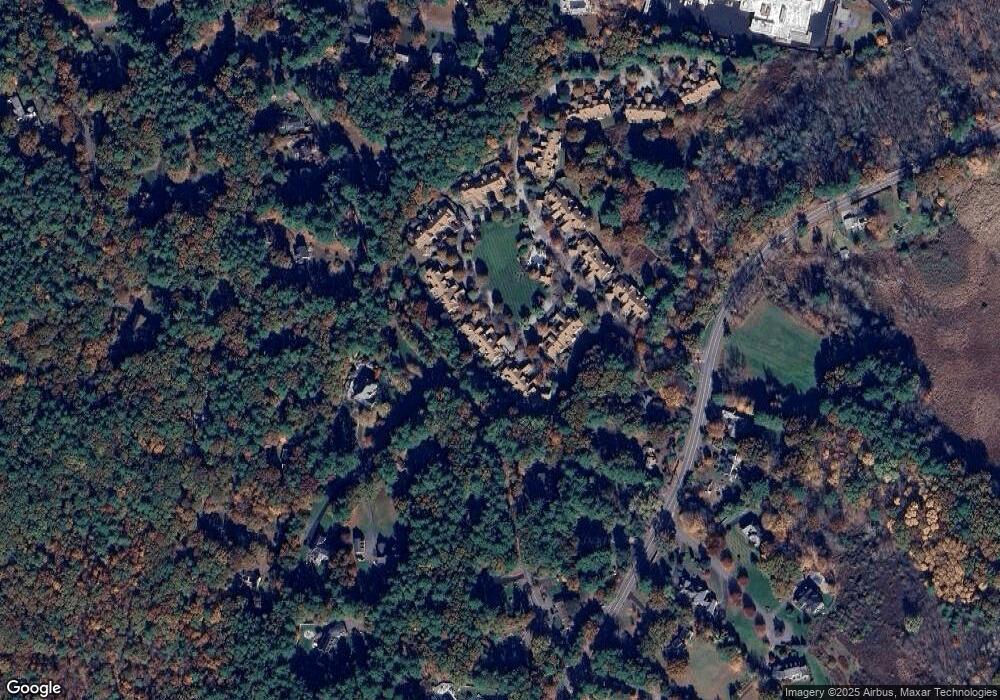
Map
Nearby Homes
- 24 Woodland Rd
- 7 Adams Rd
- 1011 Boston Post Rd
- 0 Robbins Rd
- 32 Eaton Rd W
- 12 Hickory Rd
- 91 Eaton Rd W
- 19 Nob Hill Dr
- 89 Bridle Path
- 0 Boston Post Rd
- 30 Rolling Ln
- 36 Concord Rd
- 23 Massasoit Ave
- 14 Eisenhower Rd
- 84 Hopestill Brown Rd
- 143 Peakham Rd
- 50 Juniper Ln
- 106 Baldwin Ave
- 41 James St
- 270 Old Lancaster Rd
- 219 Nobscot Rd
- 217 Nobscot Rd
- 215 Nobscot Rd
- 213 Nobscot Rd
- 211 Nobscot Rd
- 209 Nobscot Rd
- 225 Nobscot Rd
- 223 Nobscot Rd
- 221 Nobscot Rd
- 225 Nobscot Rd Unit 225
- 207 Nobscot Rd
- 205 Nobscot Rd
- 203 Nobscot Rd
- 10 Pine Hill Ln
- 231 Nobscot Rd
- 229 Nobscot Rd
- 227 Nobscot Rd
- 227 Nobscot Rd Unit 227
- 229 Nobscot Rd Unit 223-41
- 33 Dudley Rd