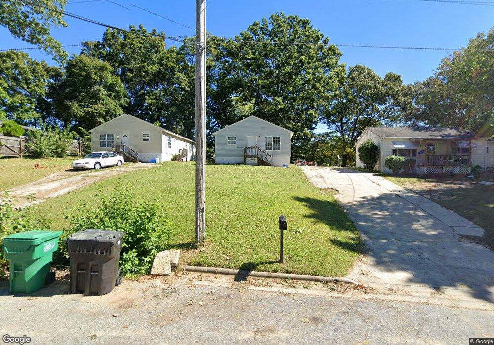
215 Paramount St High Point, NC 27260
Greater High Point NeighborhoodEstimated Value: $154,708 - $193,000
3
Beds
2
Baths
1,040
Sq Ft
$172/Sq Ft
Est. Value
About This Home
This home is located at 215 Paramount St, High Point, NC 27260 and is currently estimated at $178,427, approximately $171 per square foot. 215 Paramount St is a home located in Guilford County with nearby schools including Union Hill Elementary School, Jamestown Middle School, and Ragsdale High School.
Ownership History
Date
Name
Owned For
Owner Type
Purchase Details
Closed on
Sep 20, 2024
Sold by
Andrews Richard F
Bought by
J-Mac Properties Llc
Current Estimated Value
Home Financials for this Owner
Home Financials are based on the most recent Mortgage that was taken out on this home.
Original Mortgage
$850,000
Outstanding Balance
$837,169
Interest Rate
6.49%
Mortgage Type
New Conventional
Estimated Equity
-$658,742
Purchase Details
Closed on
May 14, 2009
Sold by
Parker Tabatha S
Bought by
Andrews Richard F
Create a Home Valuation Report for This Property
The Home Valuation Report is an in-depth analysis detailing your home's value as well as a comparison with similar homes in the area
Home Values in the Area
Average Home Value in this Area
Purchase History
| Date | Buyer | Sale Price | Title Company |
|---|---|---|---|
| J-Mac Properties Llc | $1,070,000 | None Listed On Document | |
| J-Mac Properties Llc | $1,070,000 | None Listed On Document | |
| Andrews Richard F | -- | None Available |
Source: Public Records
Mortgage History
| Date | Status | Borrower | Loan Amount |
|---|---|---|---|
| Open | J-Mac Properties Llc | $850,000 | |
| Closed | J-Mac Properties Llc | $850,000 |
Source: Public Records
Tax History
| Year | Tax Paid | Tax Assessment Tax Assessment Total Assessment is a certain percentage of the fair market value that is determined by local assessors to be the total taxable value of land and additions on the property. | Land | Improvement |
|---|---|---|---|---|
| 2025 | $1,003 | $72,800 | $7,000 | $65,800 |
| 2024 | $1,003 | $72,800 | $7,000 | $65,800 |
| 2023 | $1,003 | $72,800 | $7,000 | $65,800 |
| 2022 | $981 | $72,800 | $7,000 | $65,800 |
| 2021 | $904 | $65,600 | $4,900 | $60,700 |
| 2020 | $904 | $65,600 | $4,900 | $60,700 |
| 2019 | $904 | $65,600 | $0 | $0 |
| 2018 | $899 | $65,600 | $0 | $0 |
| 2017 | $899 | $65,600 | $0 | $0 |
| 2016 | $923 | $65,800 | $0 | $0 |
| 2015 | $928 | $65,800 | $0 | $0 |
| 2014 | $944 | $65,800 | $0 | $0 |
Source: Public Records
Map
Nearby Homes
- 206 Paramount St
- 404 Hickory Chapel Rd
- 210 Paramount St
- 2305 Delaware Place
- 930 & 928 R1 Marlboro St
- 2715 Central Ave
- 737 Hendrix St
- 735 Hendrix St
- 3304 Central Ave
- 928 Marlboro St
- 931 Marlboro St
- 3003 #REAR Oakcrest Ave
- 709 Habersham Rd
- 615 Hendrix St
- 3215 E Martin Luther King Junior Dr
- 600 Hendrix St
- 3335 Wiliton Way
- 430 New St
- 1451 Finsbury Ln
- 509 Valleybrook Dr
- 217 Paramount St
- 211 Paramount St
- 220 Grand St
- 216 Grand St
- 223 Paramount St
- 222 Grand St
- 214 Grand St
- 224 Grand St
- 214 Paramount St
- 212 Grand St
- 225 Paramount St
- 216 Paramount St
- 205 Paramount St
- 210 Grand St
- 218 Paramount St
- 208 Grand St
- 208 Paramount St
- 220 Paramount St
- 203 Paramount St
- 217 Grand St
Your Personal Tour Guide
Ask me questions while you tour the home.