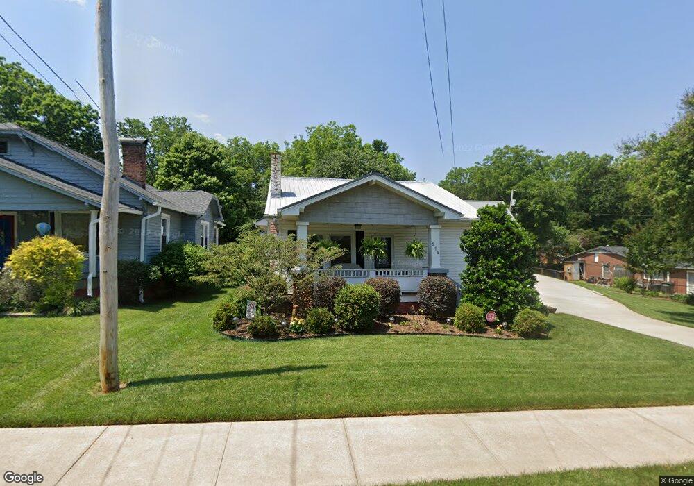
215 Park St Statesville, NC 28677
Estimated Value: $237,000 - $255,000
3
Beds
3
Baths
2,083
Sq Ft
$120/Sq Ft
Est. Value
About This Home
This home is located at 215 Park St, Statesville, NC 28677 and is currently estimated at $249,018, approximately $119 per square foot. 215 Park St is a home located in Iredell County with nearby schools including Third Creek Elementary School, Third Creek Middle School, and Statesville High School.
Ownership History
Date
Name
Owned For
Owner Type
Purchase Details
Closed on
May 19, 2005
Sold by
Ray Larry Edward
Bought by
Gray Ray Larry Edward and Gray Ray Ann
Current Estimated Value
Purchase Details
Closed on
Oct 30, 2002
Sold by
Gibson Lori Kathryn
Bought by
Ray Larry Edward
Home Financials for this Owner
Home Financials are based on the most recent Mortgage that was taken out on this home.
Original Mortgage
$56,000
Interest Rate
6.01%
Purchase Details
Closed on
Jul 1, 1992
Purchase Details
Closed on
Jun 1, 1947
Create a Home Valuation Report for This Property
The Home Valuation Report is an in-depth analysis detailing your home's value as well as a comparison with similar homes in the area
Home Values in the Area
Average Home Value in this Area
Purchase History
| Date | Buyer | Sale Price | Title Company |
|---|---|---|---|
| Gray Ray Larry Edward | -- | -- | |
| Ray Larry Edward | $70,000 | -- | |
| -- | $55,000 | -- | |
| -- | -- | -- |
Source: Public Records
Mortgage History
| Date | Status | Borrower | Loan Amount |
|---|---|---|---|
| Closed | Ray Larry Edward | $56,000 |
Source: Public Records
Tax History Compared to Growth
Tax History
| Year | Tax Paid | Tax Assessment Tax Assessment Total Assessment is a certain percentage of the fair market value that is determined by local assessors to be the total taxable value of land and additions on the property. | Land | Improvement |
|---|---|---|---|---|
| 2024 | $392 | $184,800 | $35,000 | $149,800 |
| 2023 | $635 | $184,800 | $35,000 | $149,800 |
| 2022 | $153 | $127,640 | $17,500 | $110,140 |
| 2021 | $327 | $127,640 | $17,500 | $110,140 |
| 2020 | $1,561 | $127,640 | $17,500 | $110,140 |
| 2019 | $1,549 | $127,640 | $17,500 | $110,140 |
| 2018 | $1,424 | $124,140 | $17,500 | $106,640 |
| 2017 | $1,398 | $124,140 | $17,500 | $106,640 |
| 2016 | $1,518 | $124,140 | $17,500 | $106,640 |
| 2015 | $1,216 | $124,140 | $17,500 | $106,640 |
| 2014 | $1,246 | $133,450 | $17,500 | $115,950 |
Source: Public Records
Map
Nearby Homes
- 213 Ramsey Ct Unit 213
- 640 Davie Ave
- 314 Euclid Ave
- 824 Davie Ave
- 504 Holland Dr
- 709 E Front St
- 322 Salisbury Rd
- 821 Wood St
- 621 E Sharpe St
- 320 S Oakwood Dr
- 915 Brookwood Ct
- Lot 1 Magnolia St
- 445 Newton Ave
- 531 Whittington Place
- 506 Broadway Ct
- 537 Falls St
- 636 Hackett St
- 630 Hackett St
- 000 Broadway Ct
- 520 Margaret Dr
- 538 Stockton St
- 213 Park St
- 534 Stockton St
- 220 Park St
- 216 Park St
- 222 Park St
- 528 Stockton St
- 224 Park St
- 303 Park St
- 211 Ramsey Ct Unit 211
- 207 Ramsey Ct
- 541 Davie Ave
- 522 Stockton St
- 227 Ramsey Ct
- 612 Stockton St
- 221 Ramsey Ct
- 217 Ramsey Ct Unit 217
- 229 Ramsey Ct Unit 229
- 223 Ramsey Ct
- 243 Ramsey Ct Unit 243