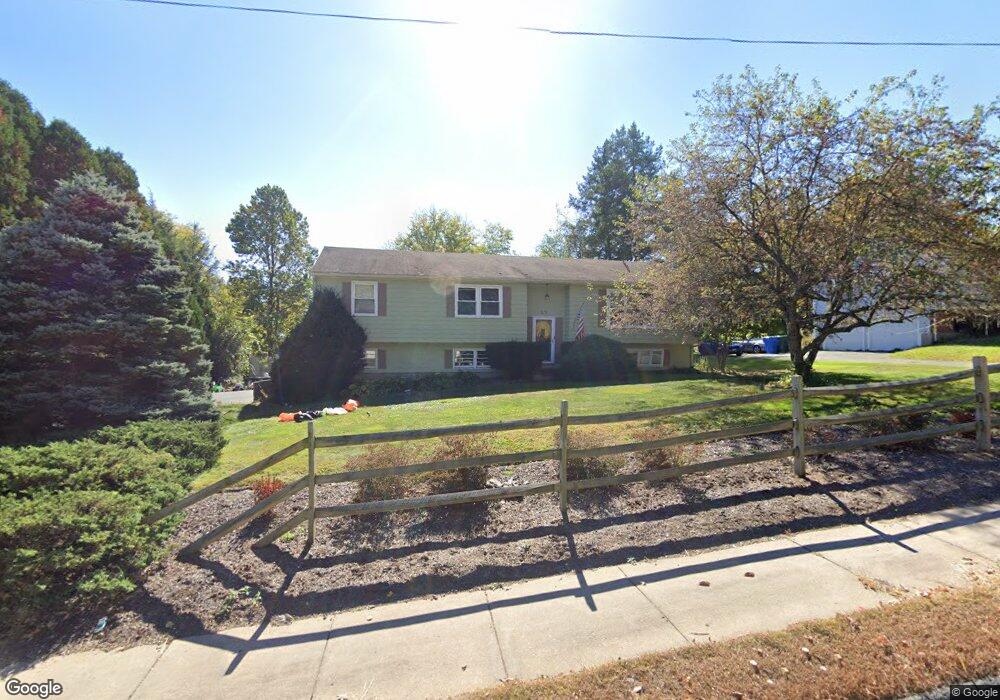
215 Peacedale St Bristol, CT 06010
North Bristol NeighborhoodEstimated Value: $371,000 - $432,000
3
Beds
2
Baths
1,556
Sq Ft
$261/Sq Ft
Est. Value
About This Home
This home is located at 215 Peacedale St, Bristol, CT 06010 and is currently estimated at $406,135, approximately $261 per square foot. 215 Peacedale St is a home located in Hartford County with nearby schools including West Bristol Sch, Bristol Central High School, and St. Joseph School.
Ownership History
Date
Name
Owned For
Owner Type
Purchase Details
Closed on
Jun 3, 2009
Sold by
Mccusker John J
Bought by
Burch Stephen W and Burch Ashley
Current Estimated Value
Home Financials for this Owner
Home Financials are based on the most recent Mortgage that was taken out on this home.
Original Mortgage
$203,250
Interest Rate
5%
Create a Home Valuation Report for This Property
The Home Valuation Report is an in-depth analysis detailing your home's value as well as a comparison with similar homes in the area
Home Values in the Area
Average Home Value in this Area
Purchase History
| Date | Buyer | Sale Price | Title Company |
|---|---|---|---|
| Burch Stephen W | $207,000 | -- |
Source: Public Records
Mortgage History
| Date | Status | Borrower | Loan Amount |
|---|---|---|---|
| Open | Burch Stephen W | $184,000 | |
| Closed | Burch Stephen W | $203,250 |
Source: Public Records
Tax History Compared to Growth
Tax History
| Year | Tax Paid | Tax Assessment Tax Assessment Total Assessment is a certain percentage of the fair market value that is determined by local assessors to be the total taxable value of land and additions on the property. | Land | Improvement |
|---|---|---|---|---|
| 2025 | $7,062 | $209,230 | $53,060 | $156,170 |
| 2024 | $6,374 | $200,130 | $53,060 | $147,070 |
| 2023 | $6,074 | $200,130 | $53,060 | $147,070 |
| 2022 | $5,509 | $143,640 | $41,440 | $102,200 |
| 2021 | $5,509 | $143,640 | $41,440 | $102,200 |
| 2020 | $5,509 | $143,640 | $41,440 | $102,200 |
| 2019 | $5,466 | $143,640 | $41,440 | $102,200 |
| 2018 | $5,297 | $143,640 | $41,440 | $102,200 |
| 2017 | $5,158 | $143,150 | $56,420 | $86,730 |
| 2016 | $5,158 | $143,150 | $56,420 | $86,730 |
| 2015 | $4,954 | $143,150 | $56,420 | $86,730 |
| 2014 | $4,954 | $143,150 | $56,420 | $86,730 |
Source: Public Records
Map
Nearby Homes
- 123 El Toro Dr
- 0 Hart St Unit 170255530
- 6 El Toro Dr
- 51 Pine Meadow Dr
- 39 Pine Meadow Dr
- 245 Glendale Dr
- 62 (Lot 13-1) James P Casey Rd
- 27 Partridge Run
- 323 Baldwin Dr
- 191 Glendale Dr
- 848 Burlington Ave
- 276 Hart St
- 120 Claire St
- 56 Maheu St
- 66 Claire St
- 63 Woodfield Rd
- 49 Pondview Ln
- 1970 Perkins St
- 96 Woodfield Rd
- 1132 Burlington Ave
- 208 Peacedale St
- 218 Peacedale St
- 227 Peacedale St
- 195 Peacedale St
- 198 Peacedale St
- 232 Peacedale St
- 183 Peacedale St
- 186 Peacedale St
- 9 Baldwin Dr
- 60 Oehler Dr
- 68 Oehler Dr
- 174 Peacedale St
- 25 Baldwin Dr
- 30 Oehler Dr
- 0 Hart St Unit 170041985
- 0 Hart St Unit G628529
- 0 Hart St Unit G10233786
- 0 Hart St Unit G10026112
- 0 Hart St
- 0 Hart St Unit G544720