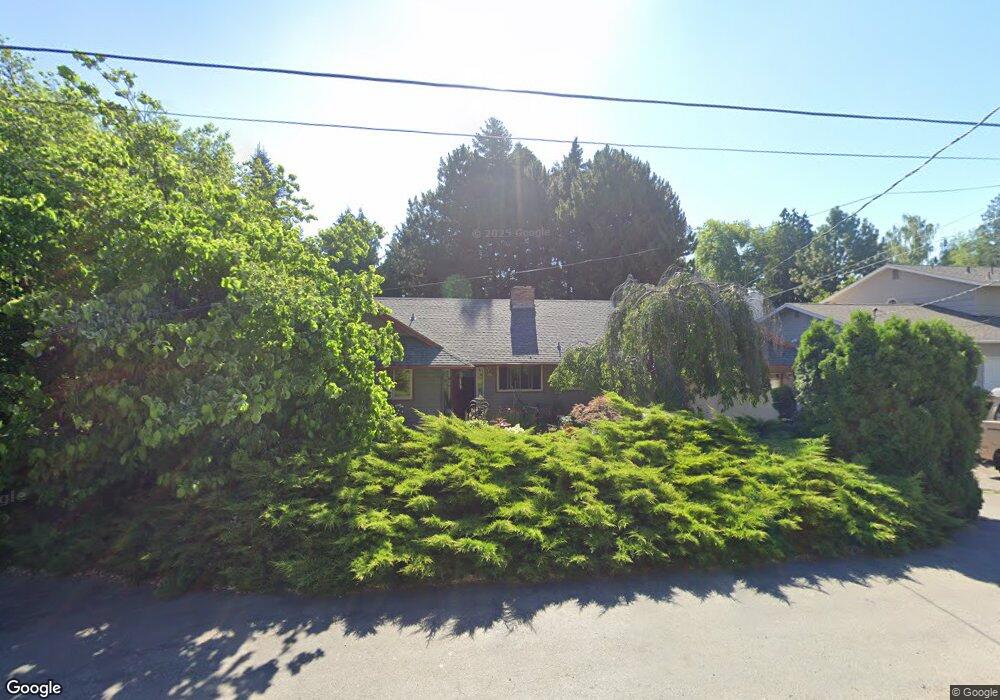
215 Pear Ln Wenatchee, WA 98801
Estimated Value: $473,513 - $514,000
3
Beds
1
Bath
1,539
Sq Ft
$320/Sq Ft
Est. Value
About This Home
This home is located at 215 Pear Ln, Wenatchee, WA 98801 and is currently estimated at $493,171, approximately $320 per square foot. 215 Pear Ln is a home located in Chelan County with nearby schools including Washington Elementary School, Orchard Middle School, and Wenatchee High School.
Ownership History
Date
Name
Owned For
Owner Type
Purchase Details
Closed on
Jun 10, 2013
Sold by
Scroggie William C
Bought by
Scroggie Corina R
Current Estimated Value
Home Financials for this Owner
Home Financials are based on the most recent Mortgage that was taken out on this home.
Original Mortgage
$100,500
Outstanding Balance
$21,362
Interest Rate
2.51%
Mortgage Type
New Conventional
Estimated Equity
$471,809
Purchase Details
Closed on
Jun 8, 2013
Sold by
Ammons James A
Bought by
Scroggie Corina R
Home Financials for this Owner
Home Financials are based on the most recent Mortgage that was taken out on this home.
Original Mortgage
$100,500
Outstanding Balance
$21,362
Interest Rate
2.51%
Mortgage Type
New Conventional
Estimated Equity
$471,809
Create a Home Valuation Report for This Property
The Home Valuation Report is an in-depth analysis detailing your home's value as well as a comparison with similar homes in the area
Home Values in the Area
Average Home Value in this Area
Purchase History
| Date | Buyer | Sale Price | Title Company |
|---|---|---|---|
| Scroggie Corina R | -- | North Meridian Title & Escro | |
| Scroggie Corina R | $223,000 | North Meridian Title & Escro |
Source: Public Records
Mortgage History
| Date | Status | Borrower | Loan Amount |
|---|---|---|---|
| Open | Scroggie Corina R | $100,500 |
Source: Public Records
Tax History Compared to Growth
Tax History
| Year | Tax Paid | Tax Assessment Tax Assessment Total Assessment is a certain percentage of the fair market value that is determined by local assessors to be the total taxable value of land and additions on the property. | Land | Improvement |
|---|---|---|---|---|
| 2021 | $531 | $362,070 | $60,000 | $302,070 |
| 2020 | $555 | $302,793 | $60,000 | $242,793 |
| 2019 | $552 | $319,654 | $60,000 | $259,654 |
| 2018 | $571 | $288,452 | $60,000 | $228,452 |
| 2017 | $568 | $184,182 | $64,200 | $119,982 |
| 2016 | $2,188 | $178,313 | $60,000 | $118,313 |
| 2015 | $2,188 | $179,830 | $60,000 | $119,830 |
| 2013 | $2,188 | $179,867 | $60,000 | $119,867 |
Source: Public Records
Map
Nearby Homes
- 9 Elliott Ave N
- 33 Furney St
- 204 Pershing Cir
- 106 N Franklin Ave
- 936 Vassar Ave
- 1310 Castlerock Ave Unit 19
- 1310 Castlerock Ave Unit 30
- 307 N Franklin Ave
- 512 4th St
- 230 N Emerson Ave
- 204 N Emerson Ave
- 1627 Jefferson St
- 300 S Elliott Ave Unit 29
- 246 N Delaware Ave
- 1013 Amherst Ave
- 110 N Delaware Ave Unit A/B
- 22 S Emerson Ave
- 124 S Franklin Ave
- 909 Meadow Ridge Dr Unit 37
- 611 N Western Ave Unit 34